
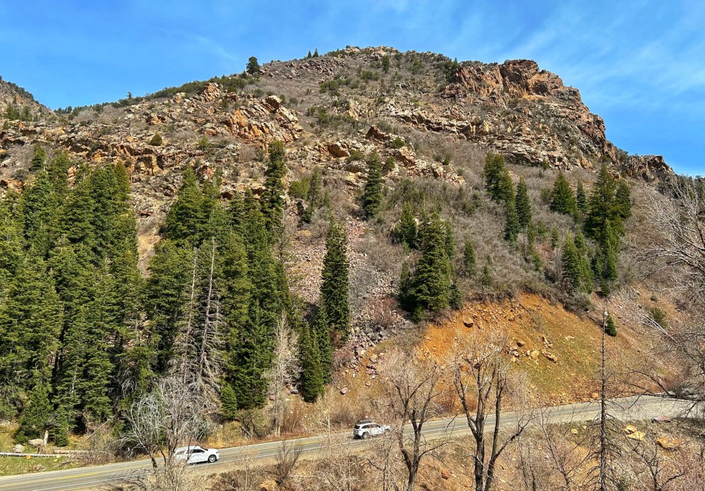
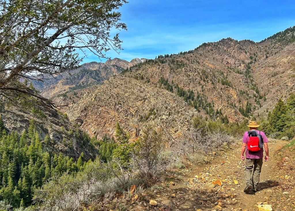
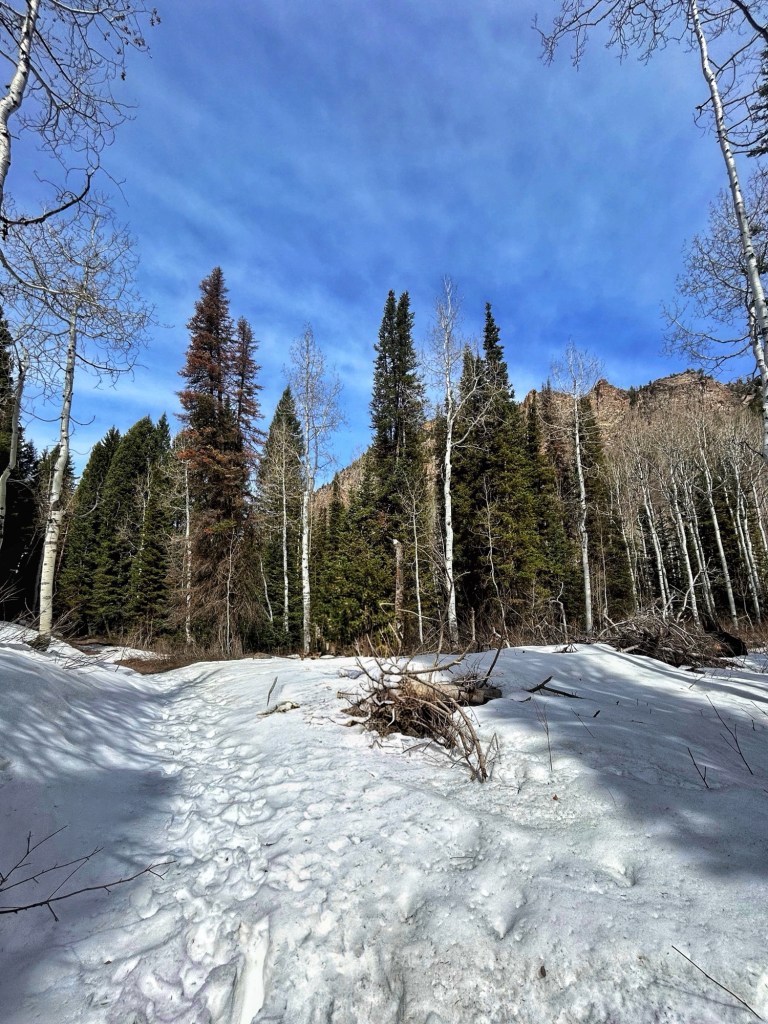
Mineral Fork Trail is accessed from Utah Hwy 190 in Big Cottonwood Canyon, to the east of Salt Lake City. Further up the road are the Solitude and Brighton ski areas. We hiked the trail March 27, 2026.
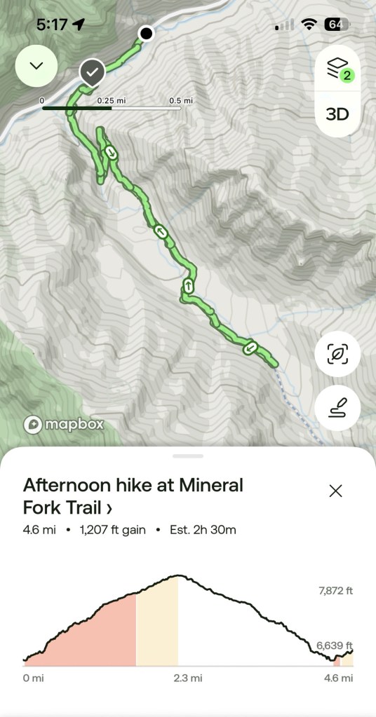
Above is the map of our hike from All Trails. Unsurprisingly we turned around before the end of the trail. Our excuse was that the trail was getting snowy.
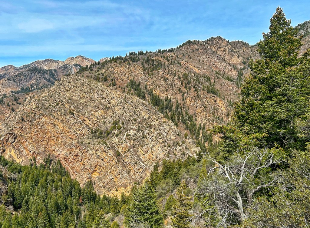

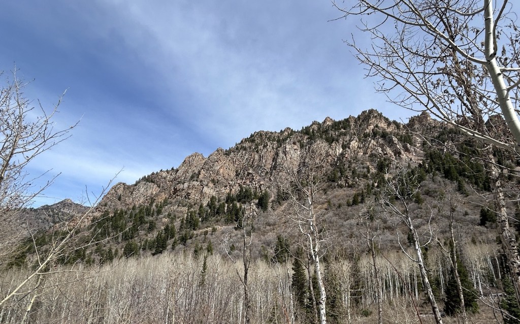
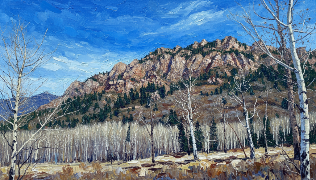
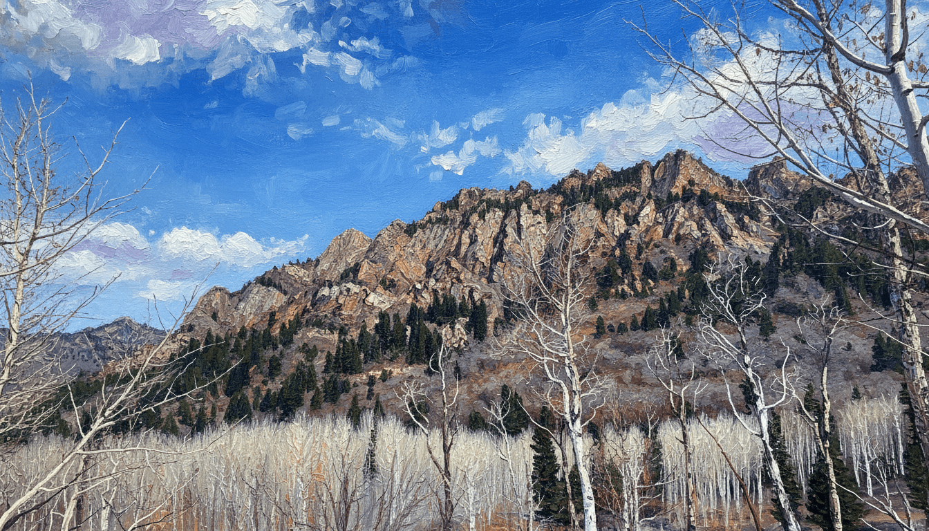
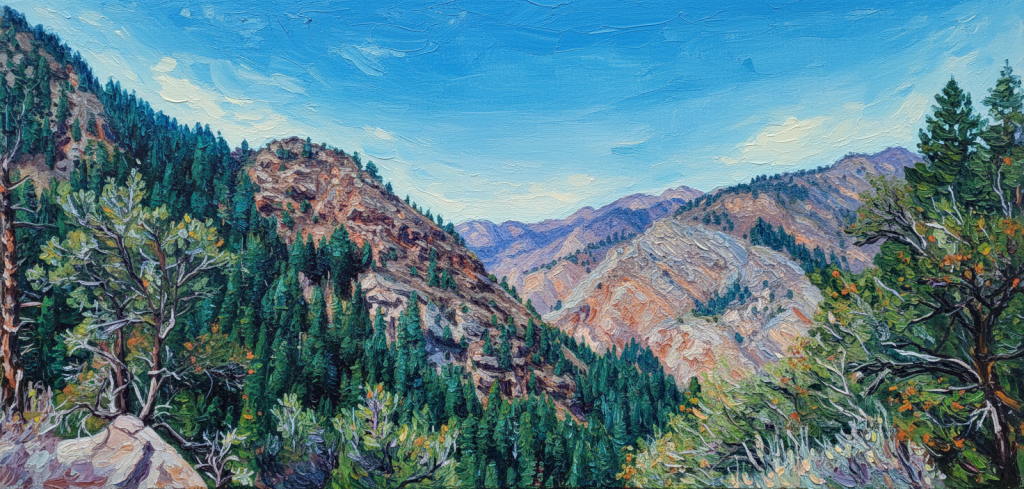
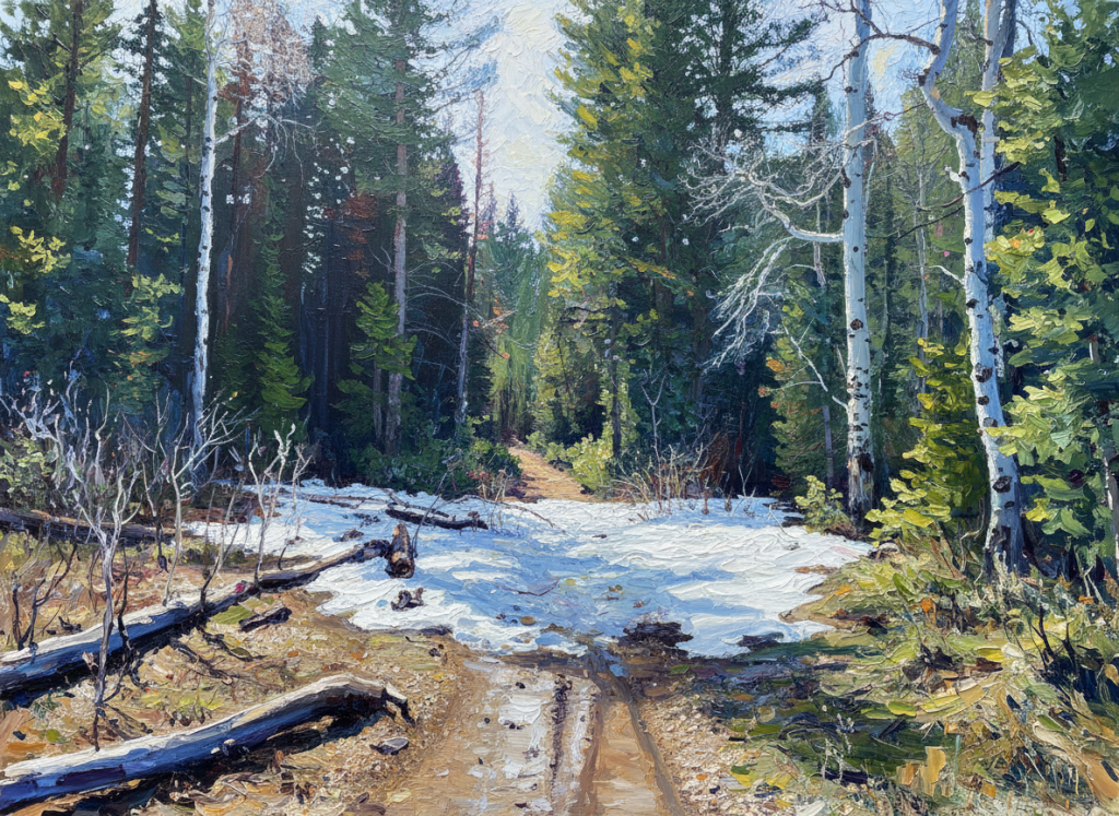
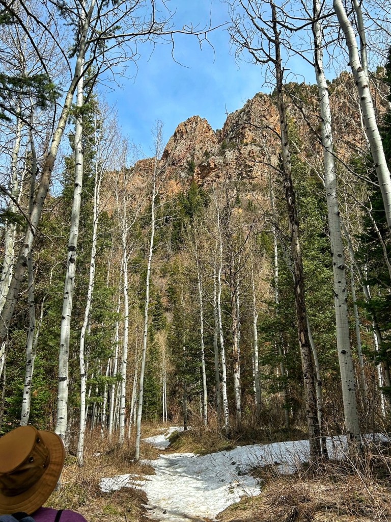
The views above are from near the end of our hike up the trail, at about 2.3 miles. The original photo is followed by a stylized version of the image.
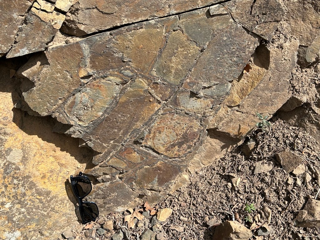
Tillite is a rock type that is interpreted as being deposited by glacial processes. The diagnostic feature of Tillite is large rock clasts embedded in fine grained rock matrix. It is thought that deposition of such large clasts requires transport by ice. The image above is of rock along the trail that I believe to be Tillite, large clasts are evident in the dark fine-grained matrix.
Precambrian rocks interpreted as Tillite are found throughout the world, leading to the theory of ancient “snowball Earth”. There are separate exposures of Mineral Fork Tillite in Utah, including several miles to the west in Antelope Island state park.

Gre
LikeLike
Gre?
LikeLike
Wh
LikeLike