
The Nobletts Trailhead is marked on the display.
The Uintas Mountains are an east-west trending sub-range of the Rocky Mountains that contain the highest mountain in Utah, Kings Peak (elevation 13,528′). Nobletts is an easy hiking trail on the western flank of the Uintas, its trailhead is about 50 miles west of Salt Lake City.
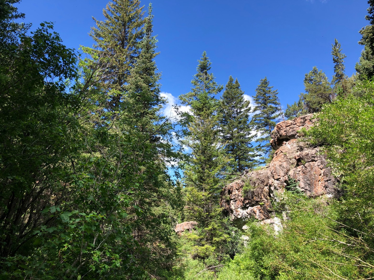
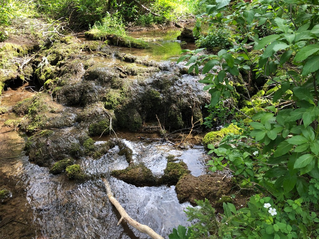
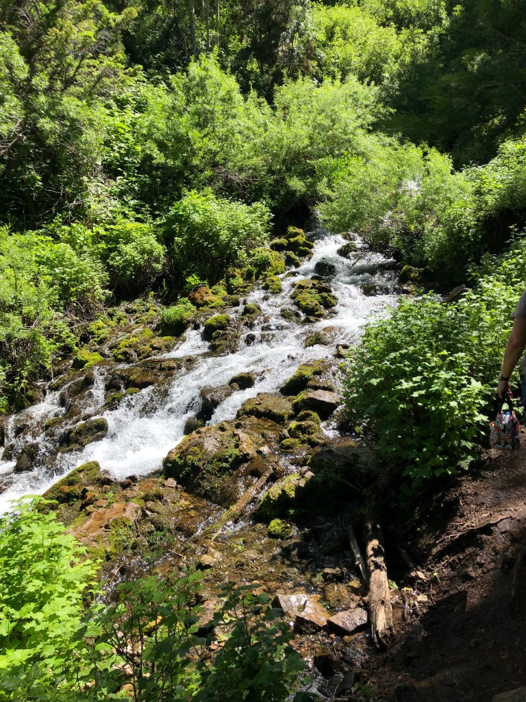
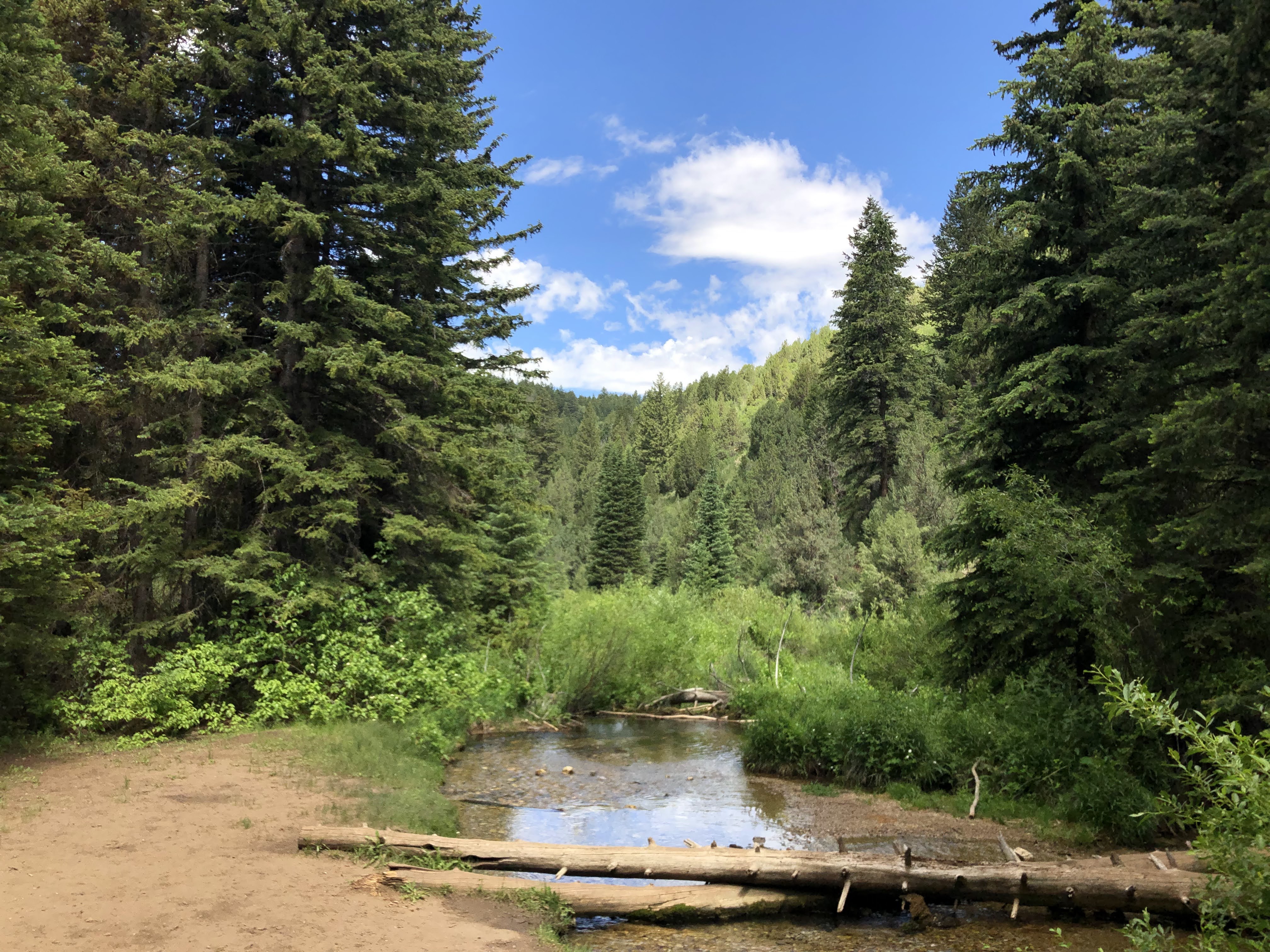
The trail follows Nobletts creek for about 2 miles with a moderate gain in elevation of 275′. The creek cascades down rocks that appear to be mainly limestone. A geologic map provided in the UtahGeology website indicates that this limestone is of Mississippian age, ~350 million years old.


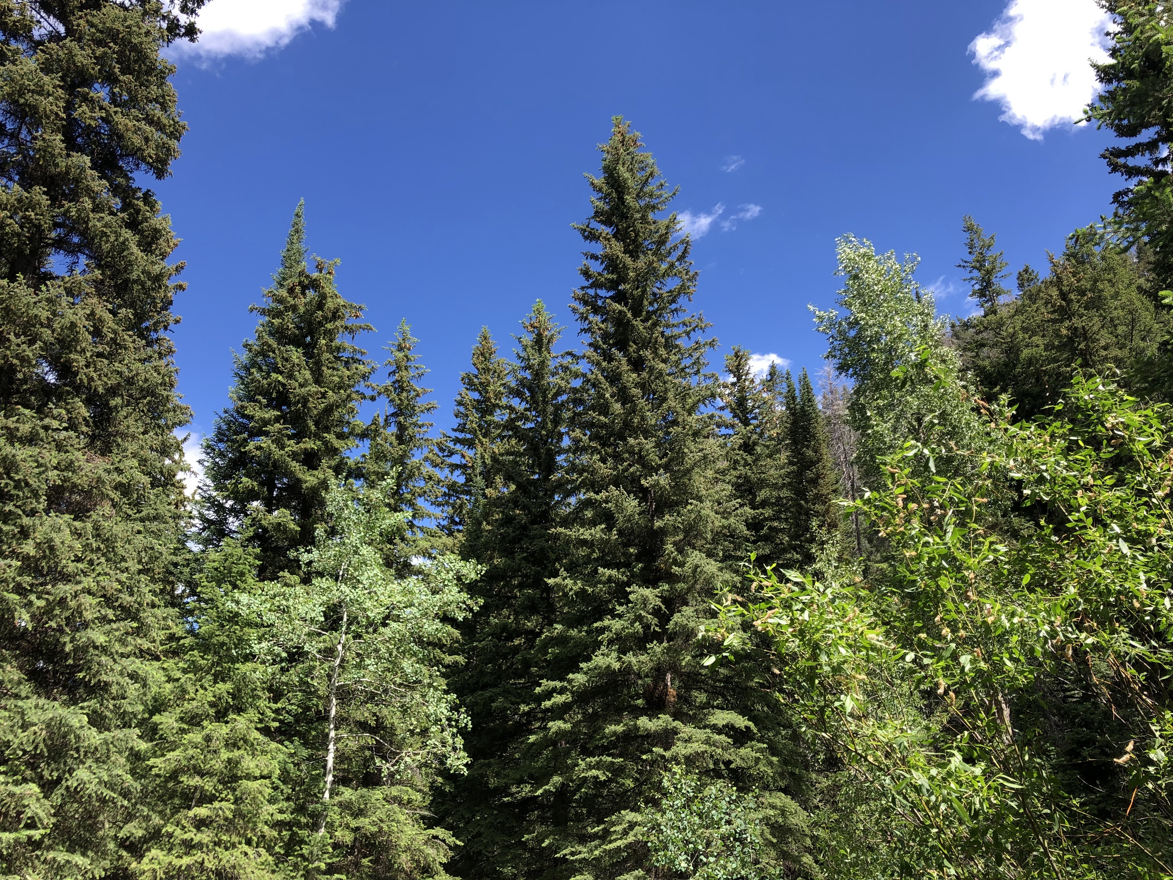
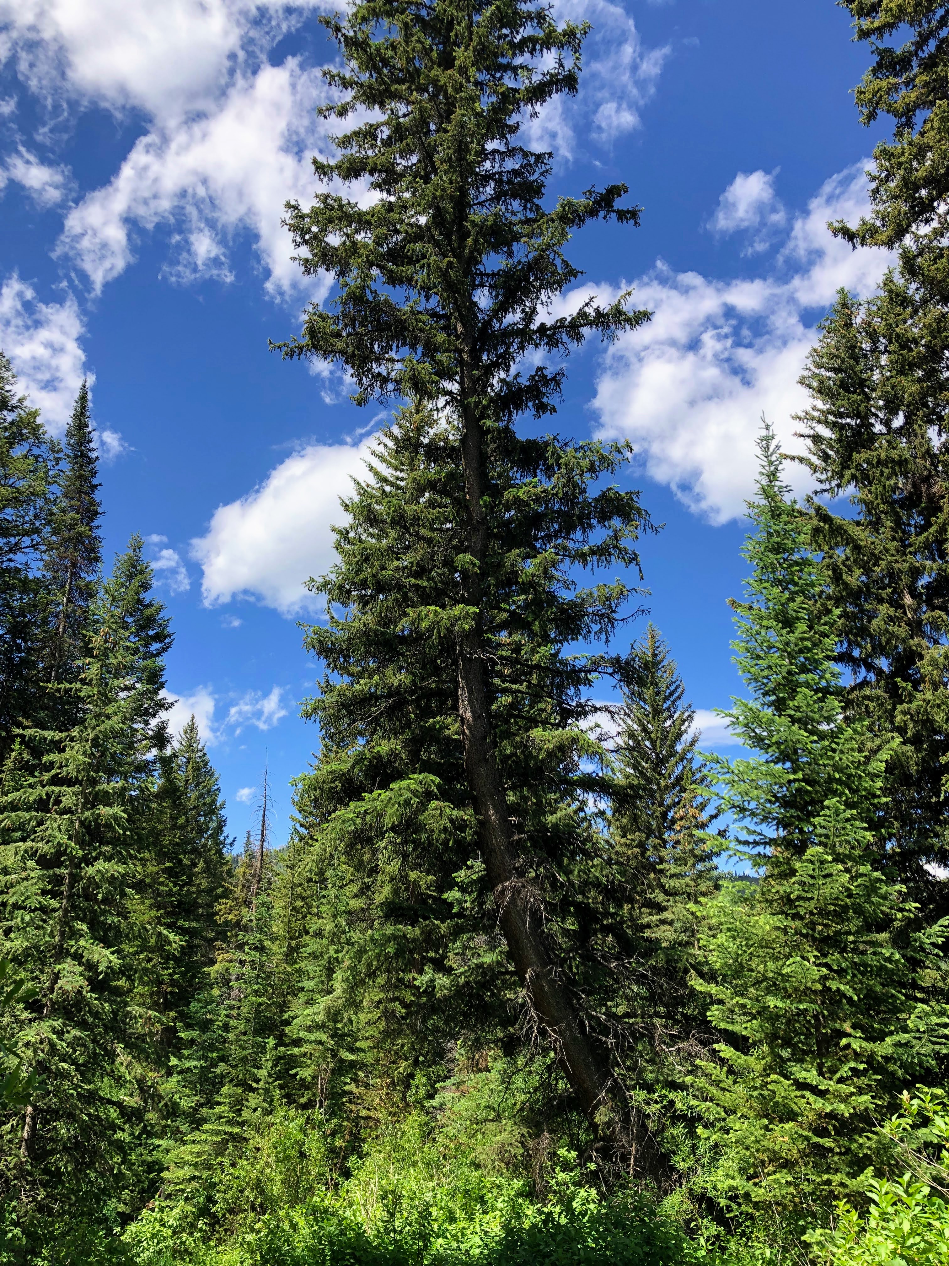
Conifers along the trail are predominantly Douglas Fir and Subalpine Fir


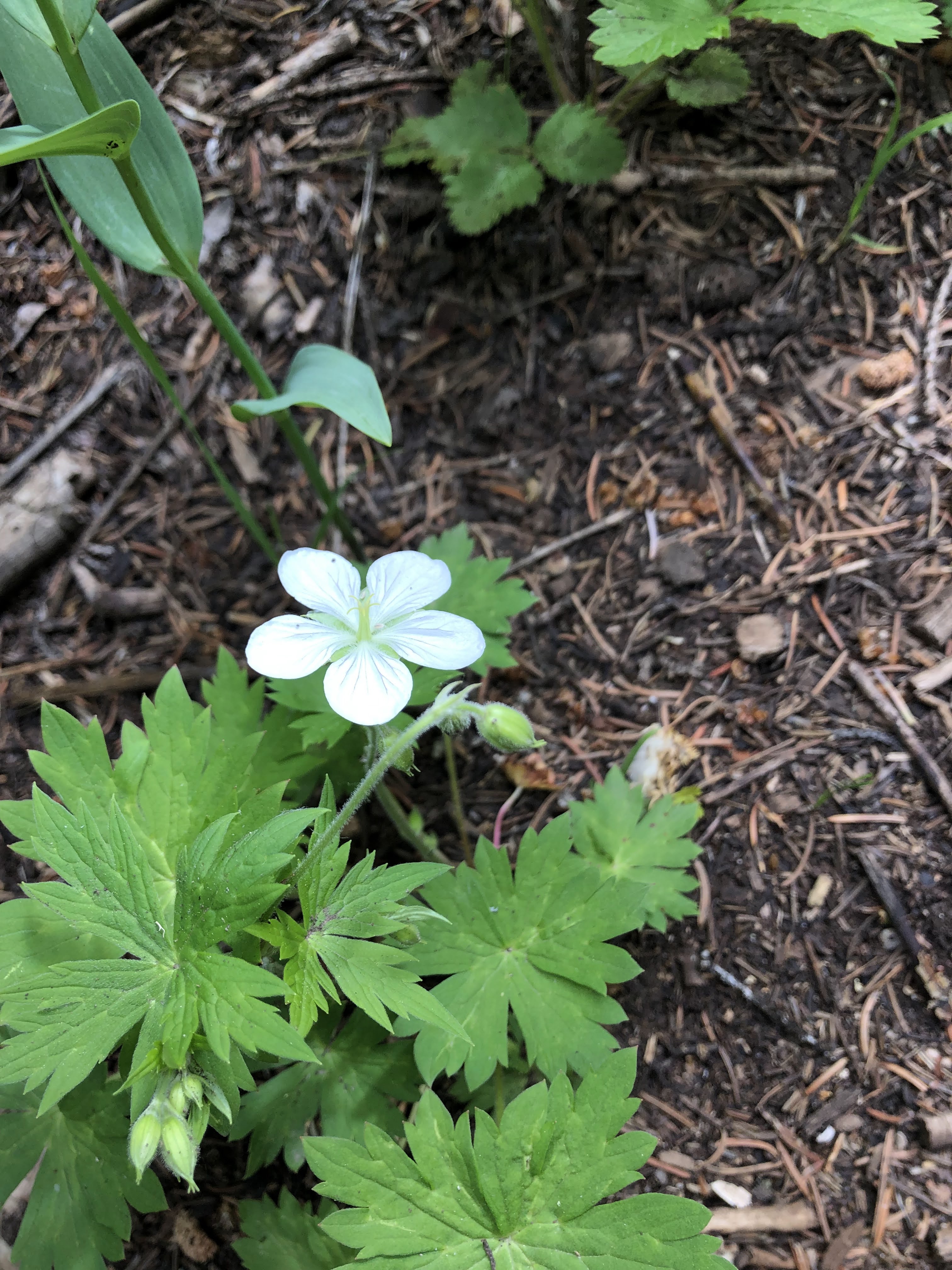
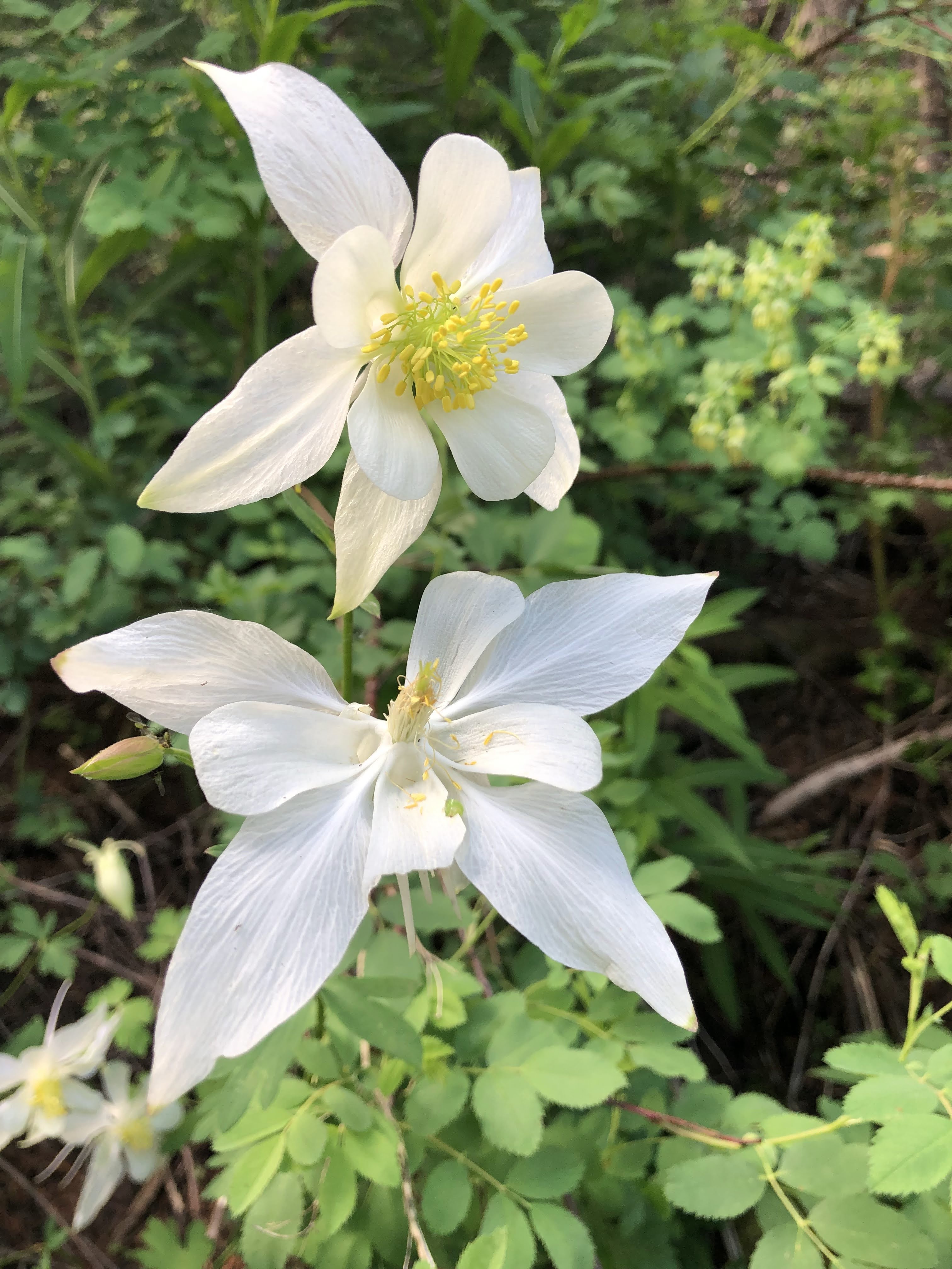
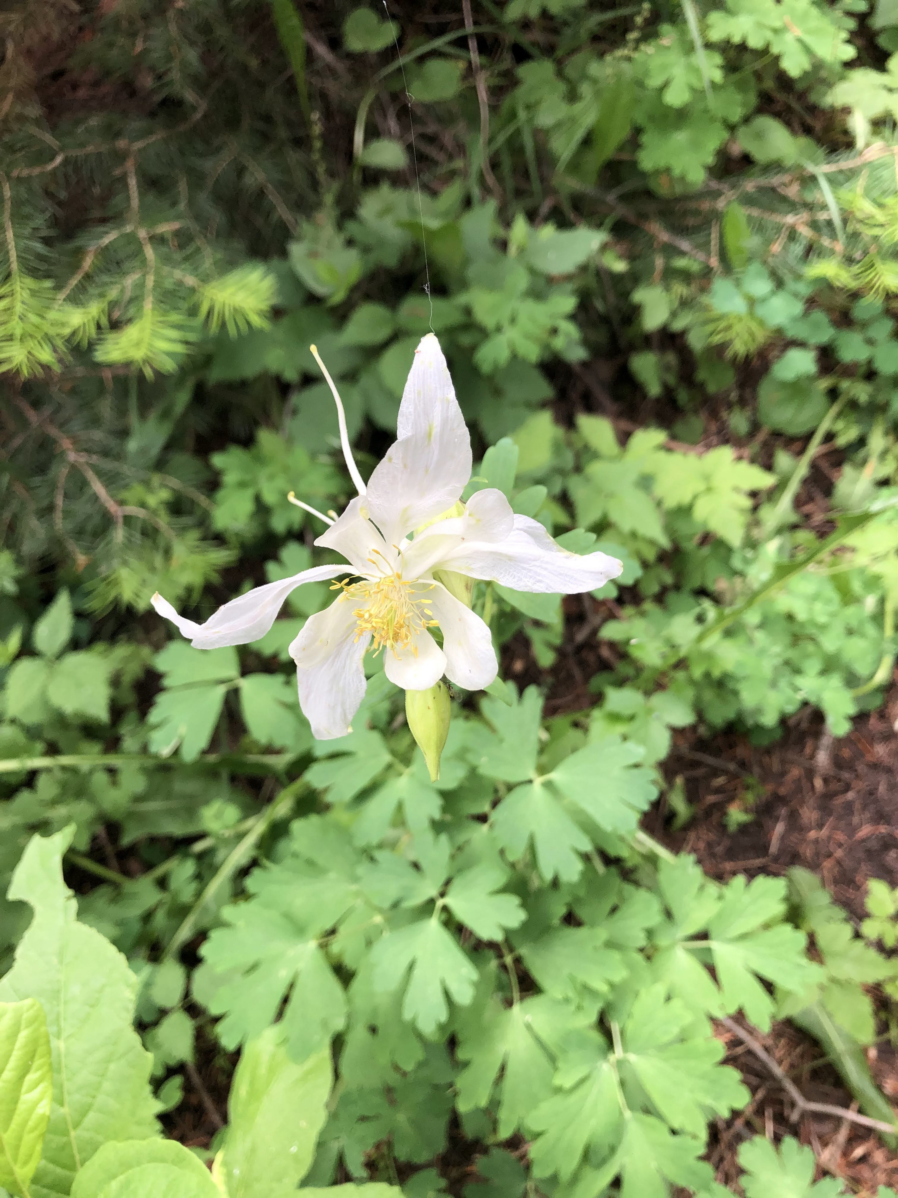
Several varieties of wildflowers were blooming along the trail in early July
Colorado Blue Columbine


Richardson’s Geranium