Welcome to my Blog


The exceptional show of Northern Lights (Aurora Borealis) over the last few days has been covered extensively in the news. The reason for this event is traced back to sunspot activity, specifically in a sunspot cluster designated Region 3664, which is at least 15 times wider than the earth! Solar flares and Coronal Mass Ejections (CME) associated with these sunspots recently ejected huge amounts of energy and charged particles into space.
CME, which are massive expulsions of charged particles from the sun, are primarily responsible for the aurora on Earth. CME produce huge clouds of charged particles that fly away from the sun at high speeds, but always considerably slower than the speed of light. Light carrying information about CME reaches earth in 8.3 minutes, while the charged particle clouds from CME typically take a day or two to reach earth. So, we can see the CME particles coming, and make accurate predictions of the aurora they will cause.
When these charged particles near earth, they are steered towards the poles by the earth’s magnetic field. At heights of 60-620 miles above earth the particles collide with atoms in earth’s atmosphere sending these atoms (mainly nitrogen and oxygen) into excited states. When the excited atoms return to their ground states, they emit the colored light that comprise the aurora.


The pictures above were taken Friday night looking north across the lake from our deck. The colors of the Northern Lights come out nicely in these pictures, but by naked eye I could just see that the sky was unusually bright.


The Northern Lights were evident towards the west as well. The image to the left is the night sky Friday around midnight, and the image on the right shows the scene in daylight on Saturday.

Looking south, the night sky was brighter than usual, but not colorful.


The following night the Northern Lights made the sky brighter, but colors were not as evident.


The photos above were taken of about the same view, looking north across the lake. They show the contrast in the night sky from Friday, May 10, with Northern Lights, to Monday, May 13, under normal conditions.

All these photos were taken with my iPhone, with no special preparation or settings. It must automatically use digital processing to allow fairly sharp hand-held long exposure shots, as seen in these photos of the Big Dipper.


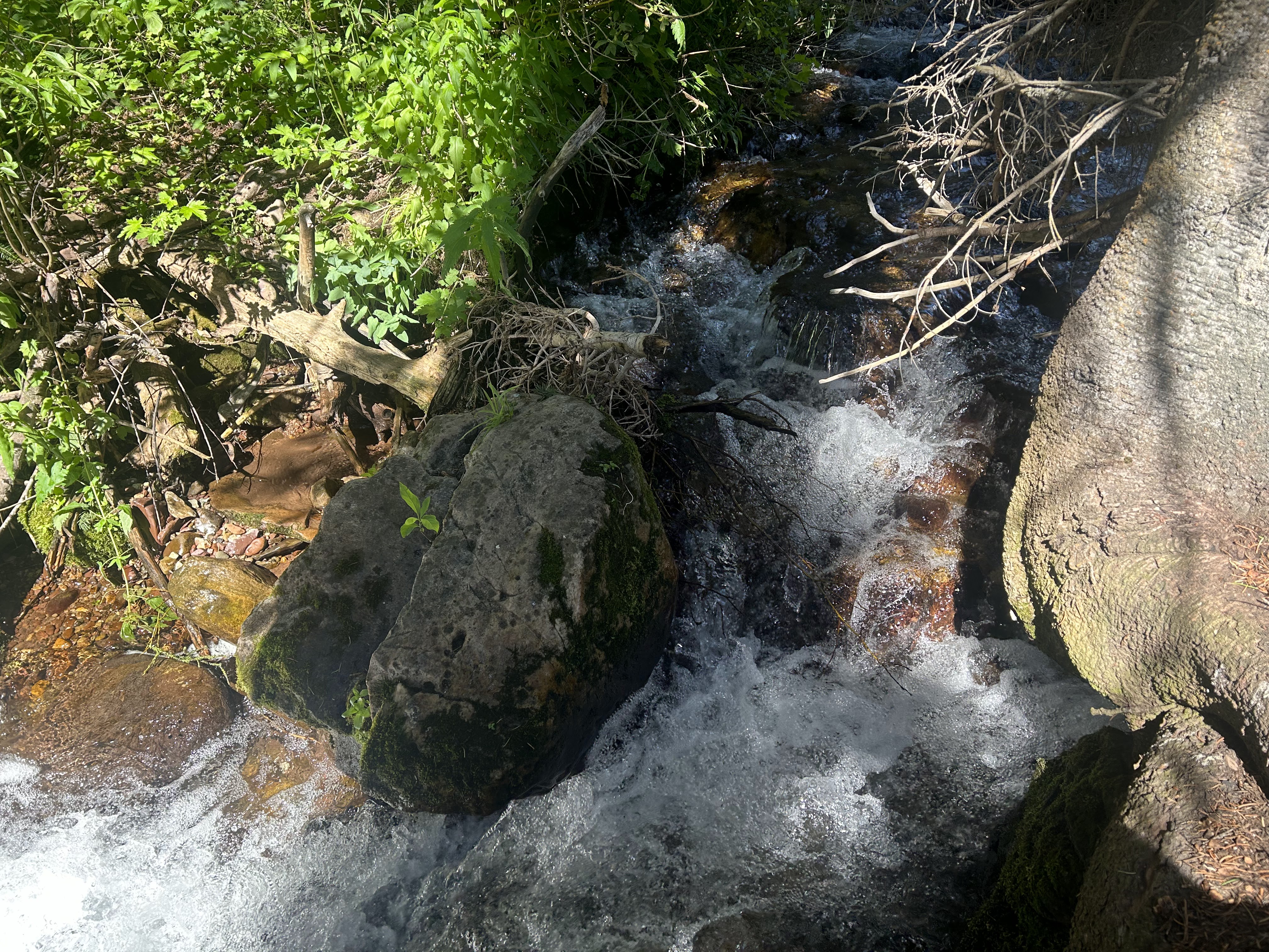
Stewart Falls is a dramatic, reasonably accessible waterfall near the Sundance ski area; it is east up the Provo canyon from the Salt Lake City metro area. Hiking to the waterfall from the trailhead near Aspen Grove was a 3.6-mile round trip. The change in elevation along the trail is about 780 feet, but it is up and down and did not seem too taxing.
The biggest challenge presented by the trail was snow. Despite it being a warm day in early April, there was plenty of snow on the trail and it was slippery in some of the steep sections. Hiking poles would have come in handy.

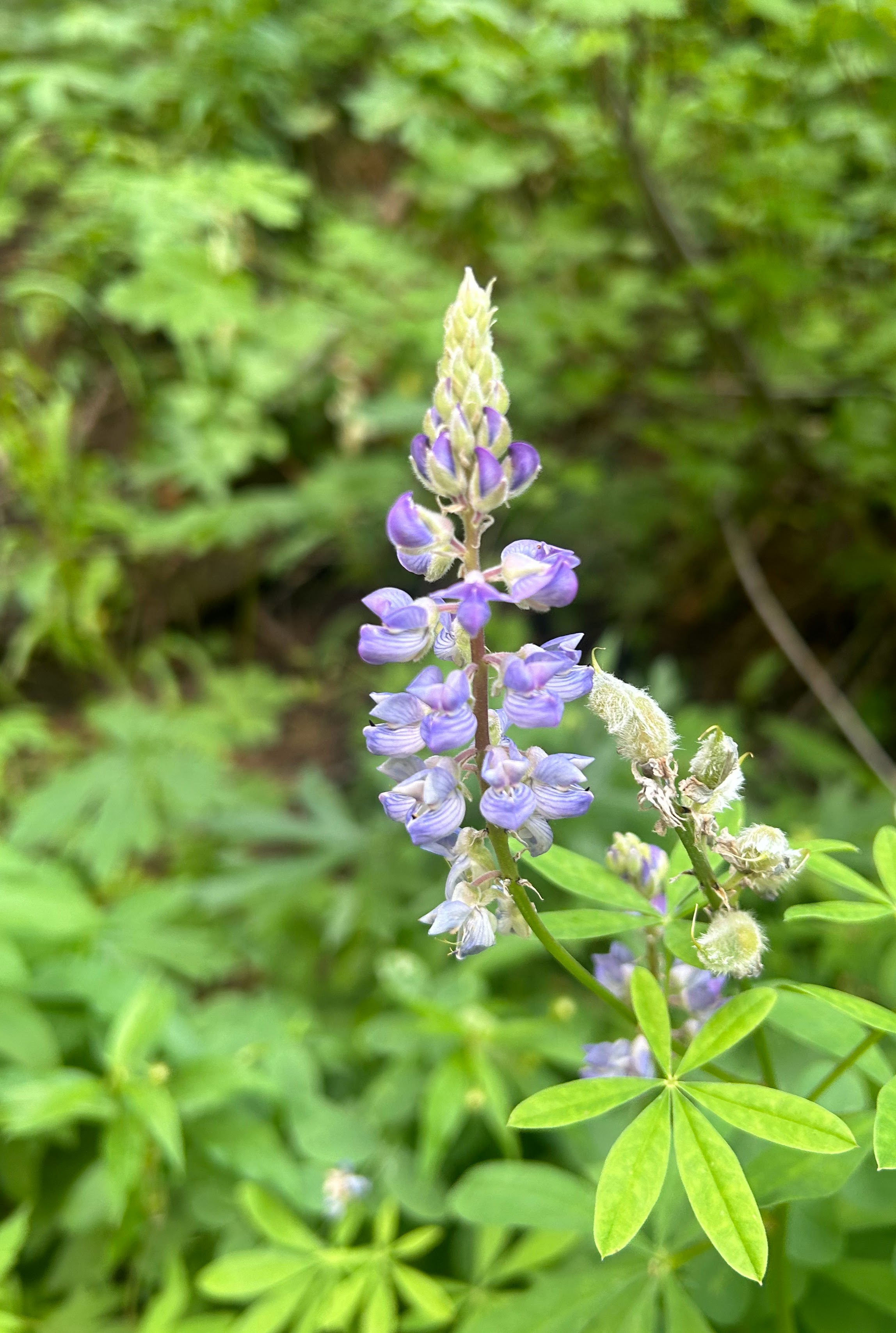
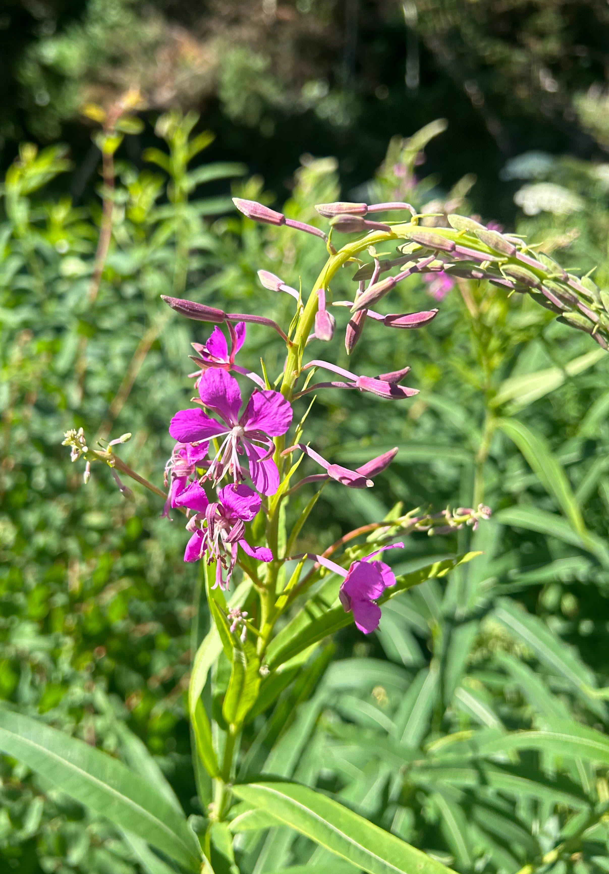
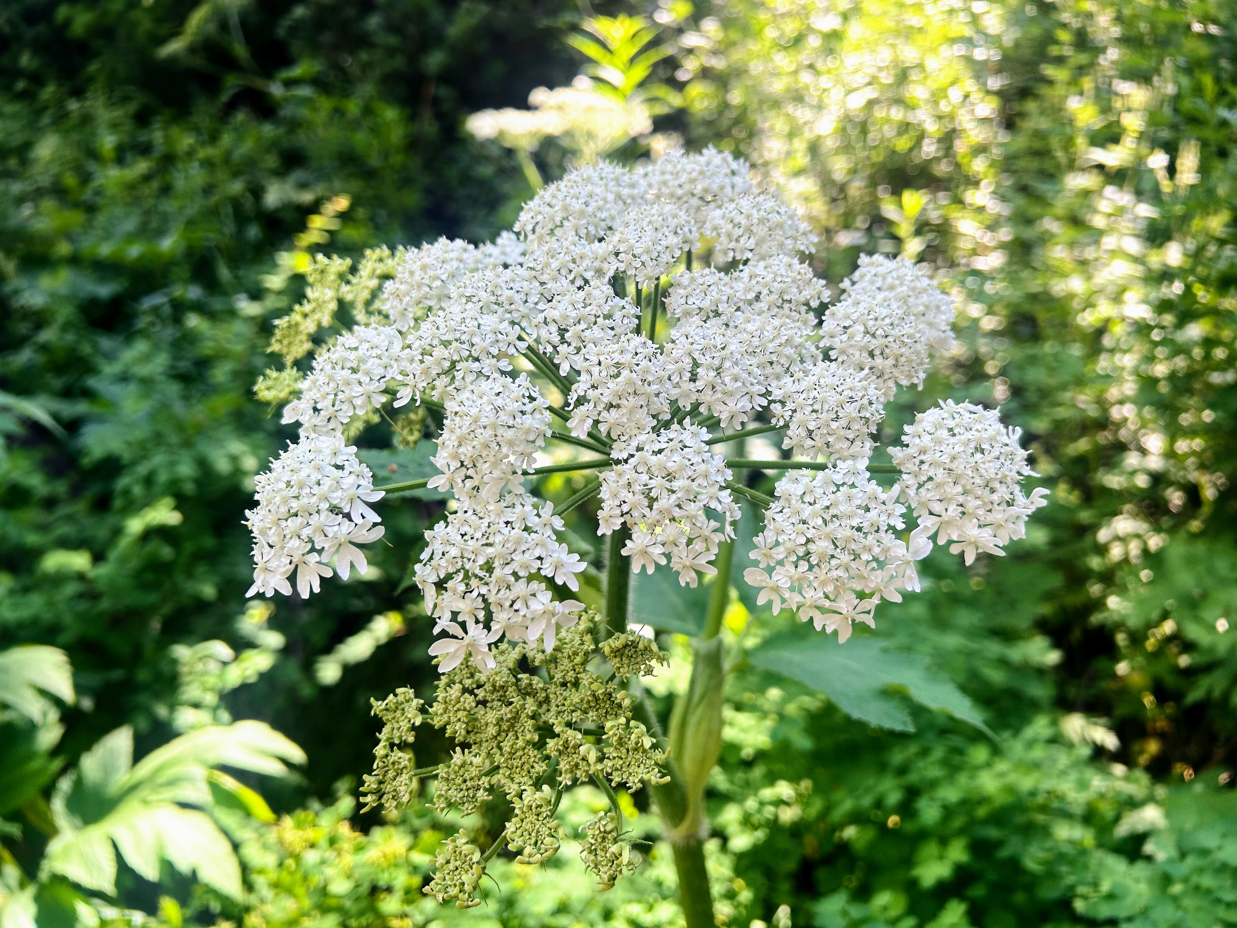
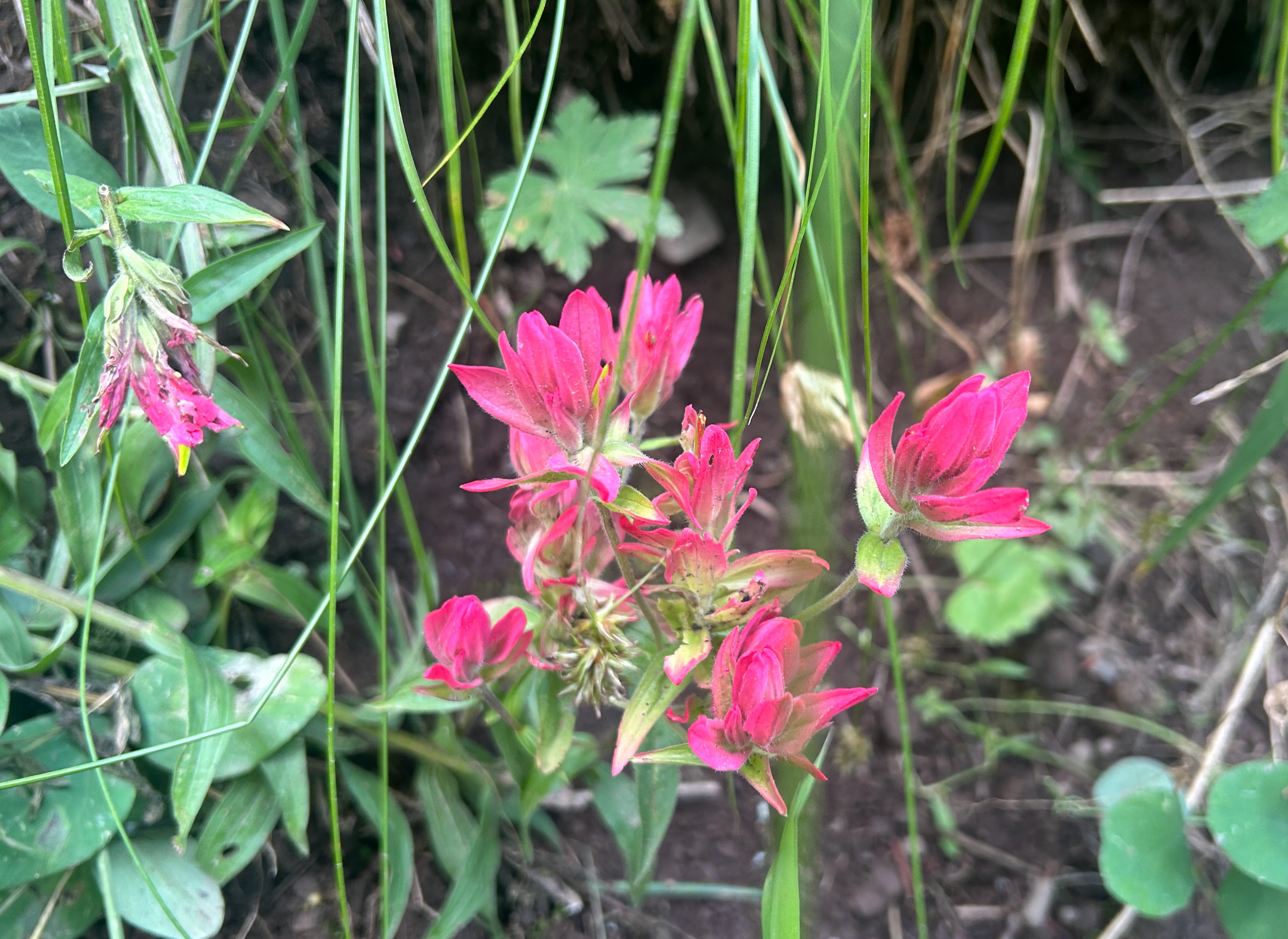
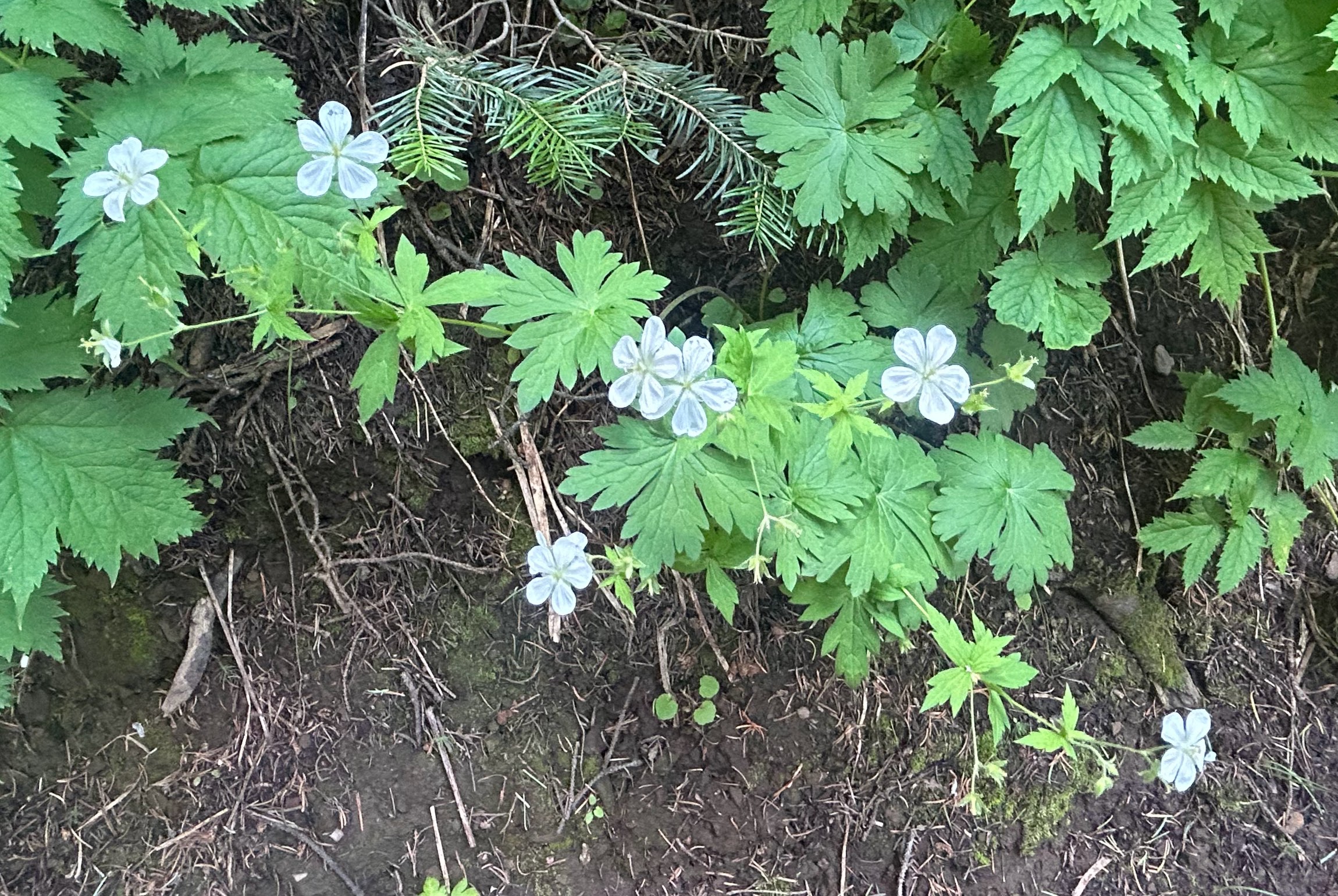
Gorgeous scenery on the way to the falls.

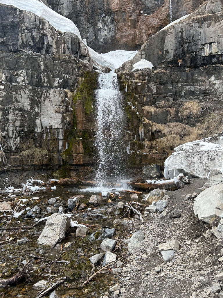


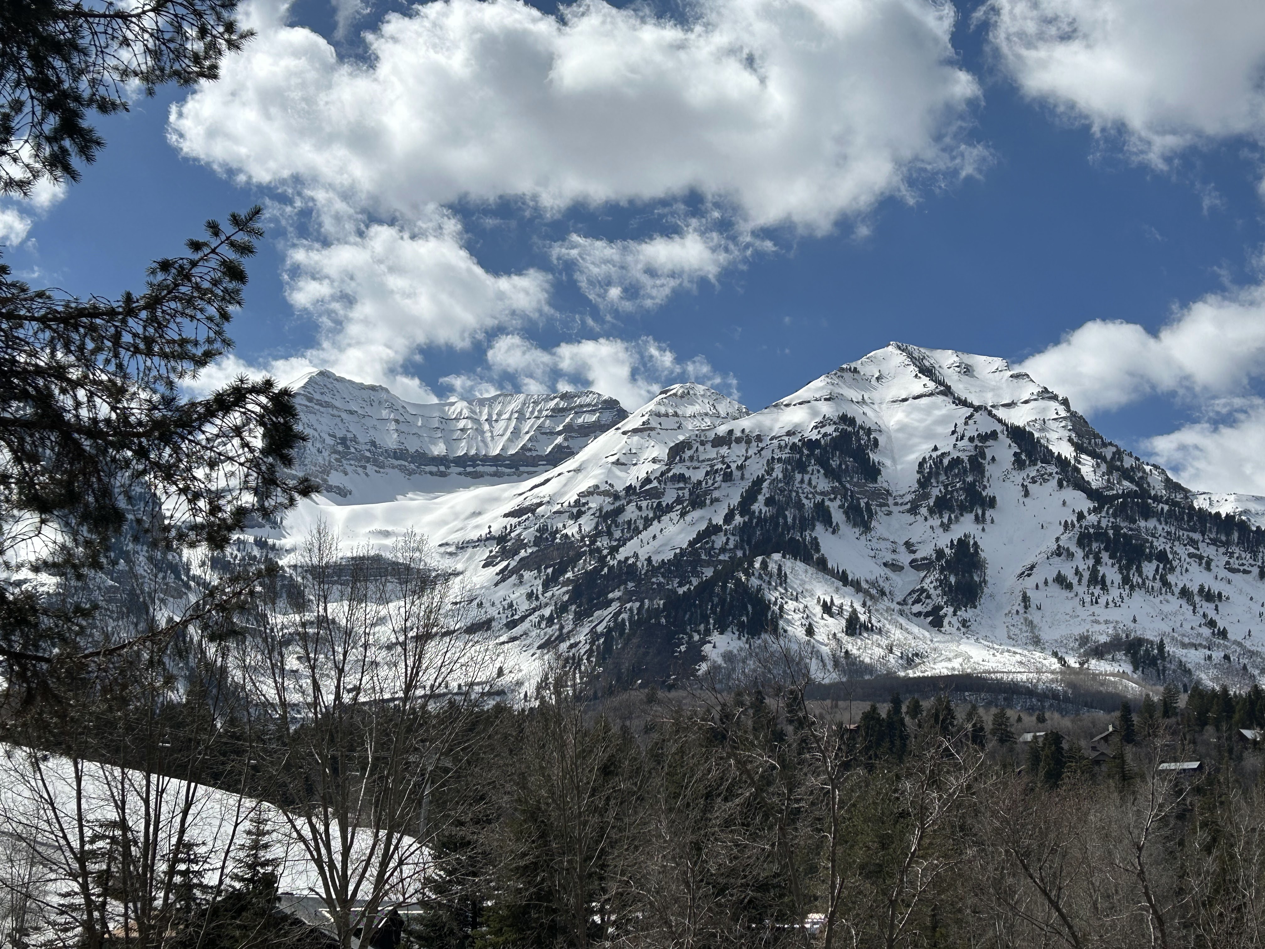


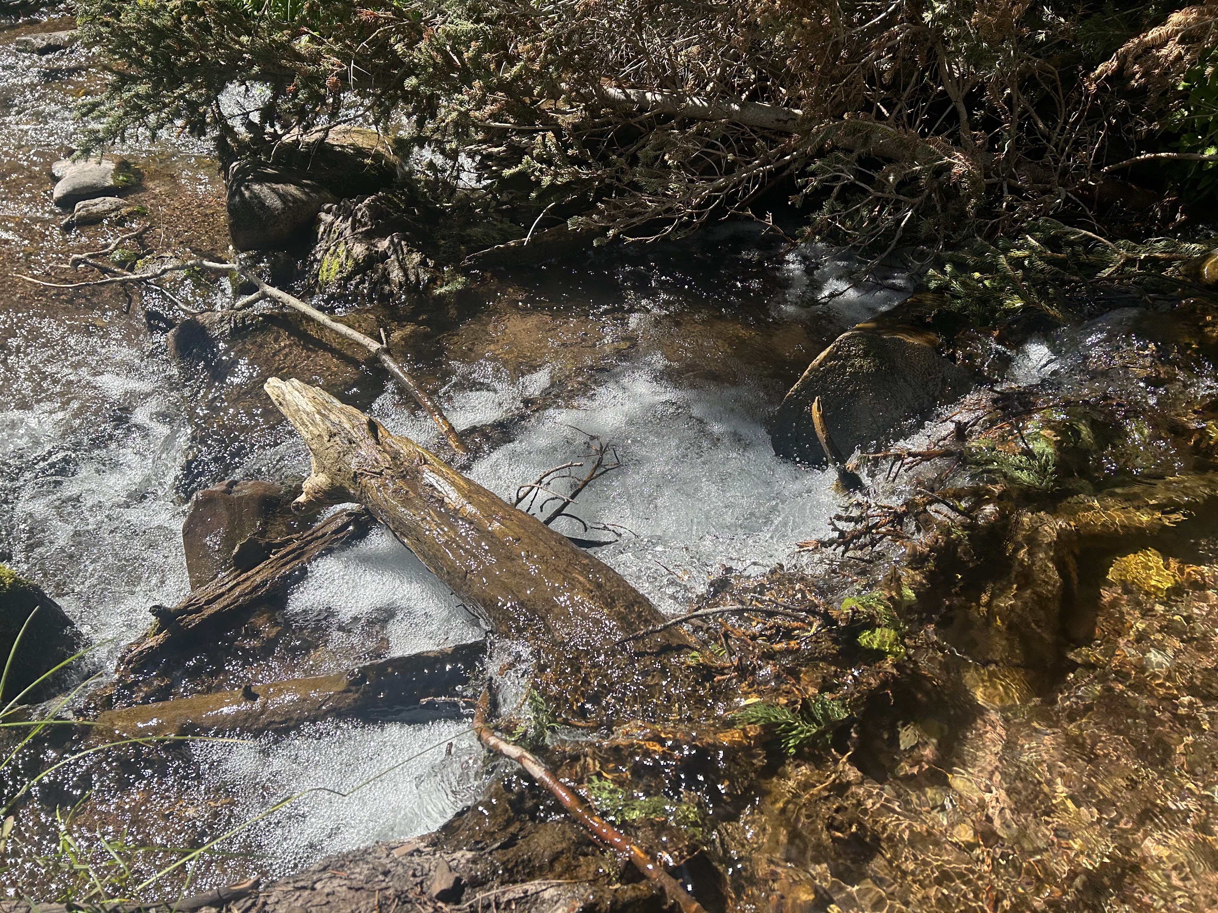
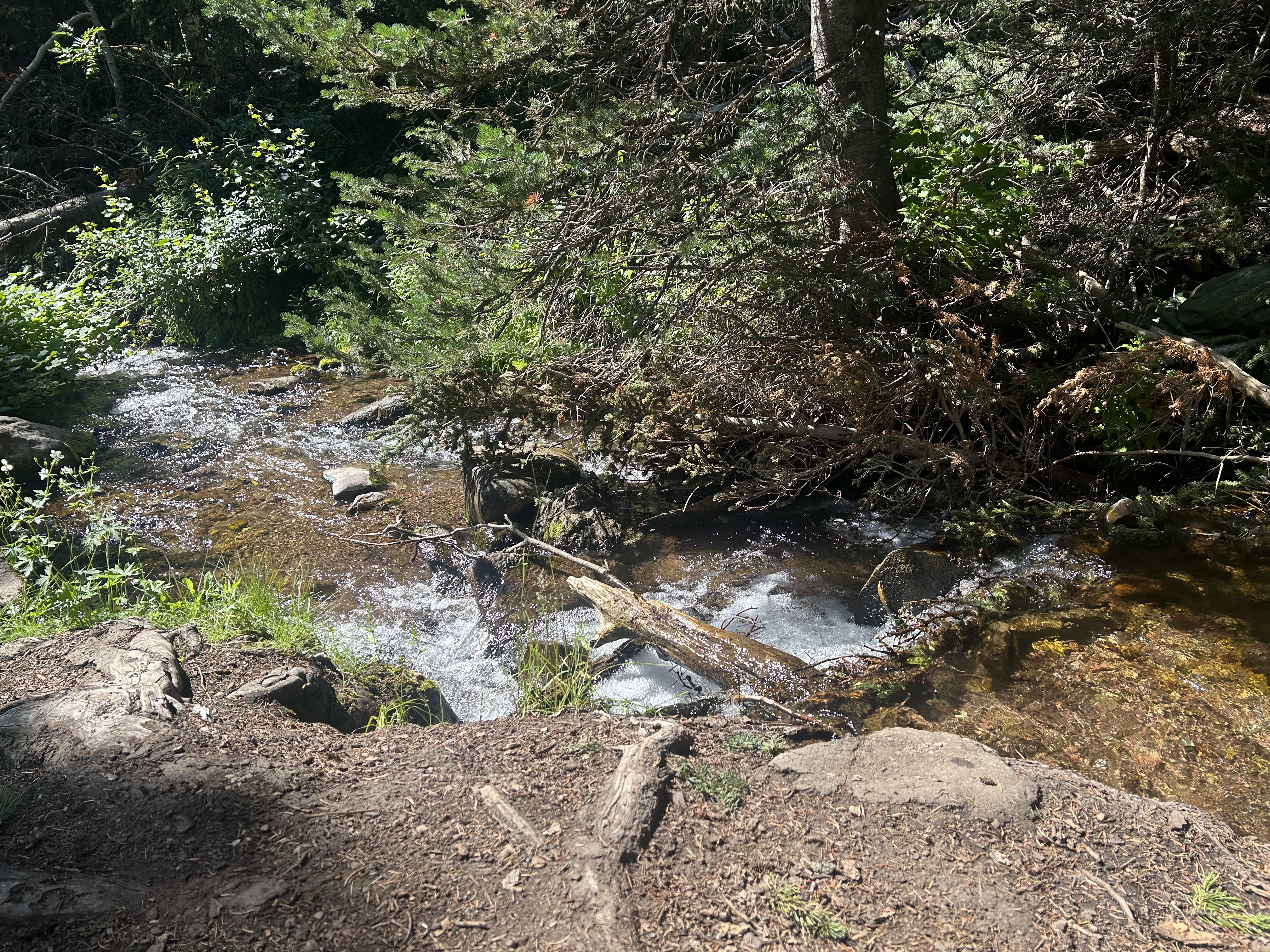
Scenery on the return trip was also beautiful.


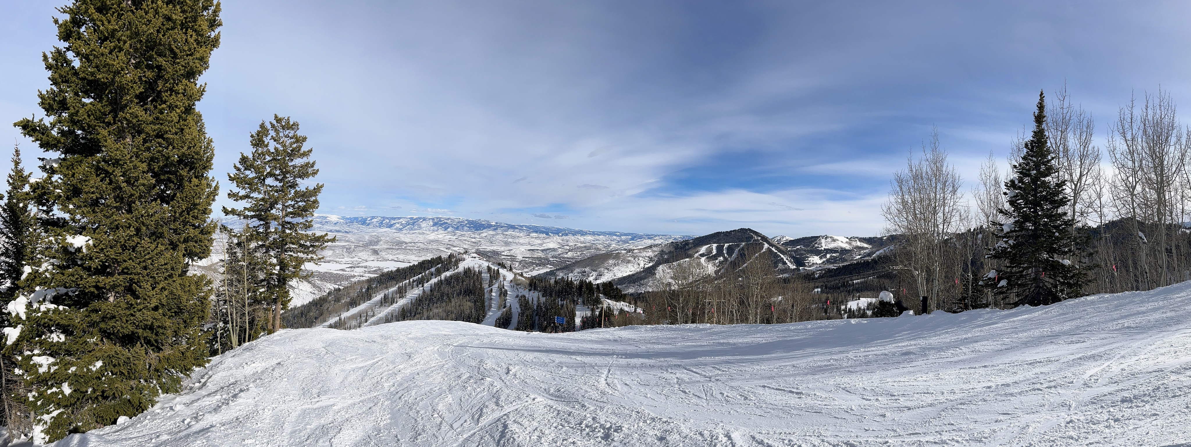
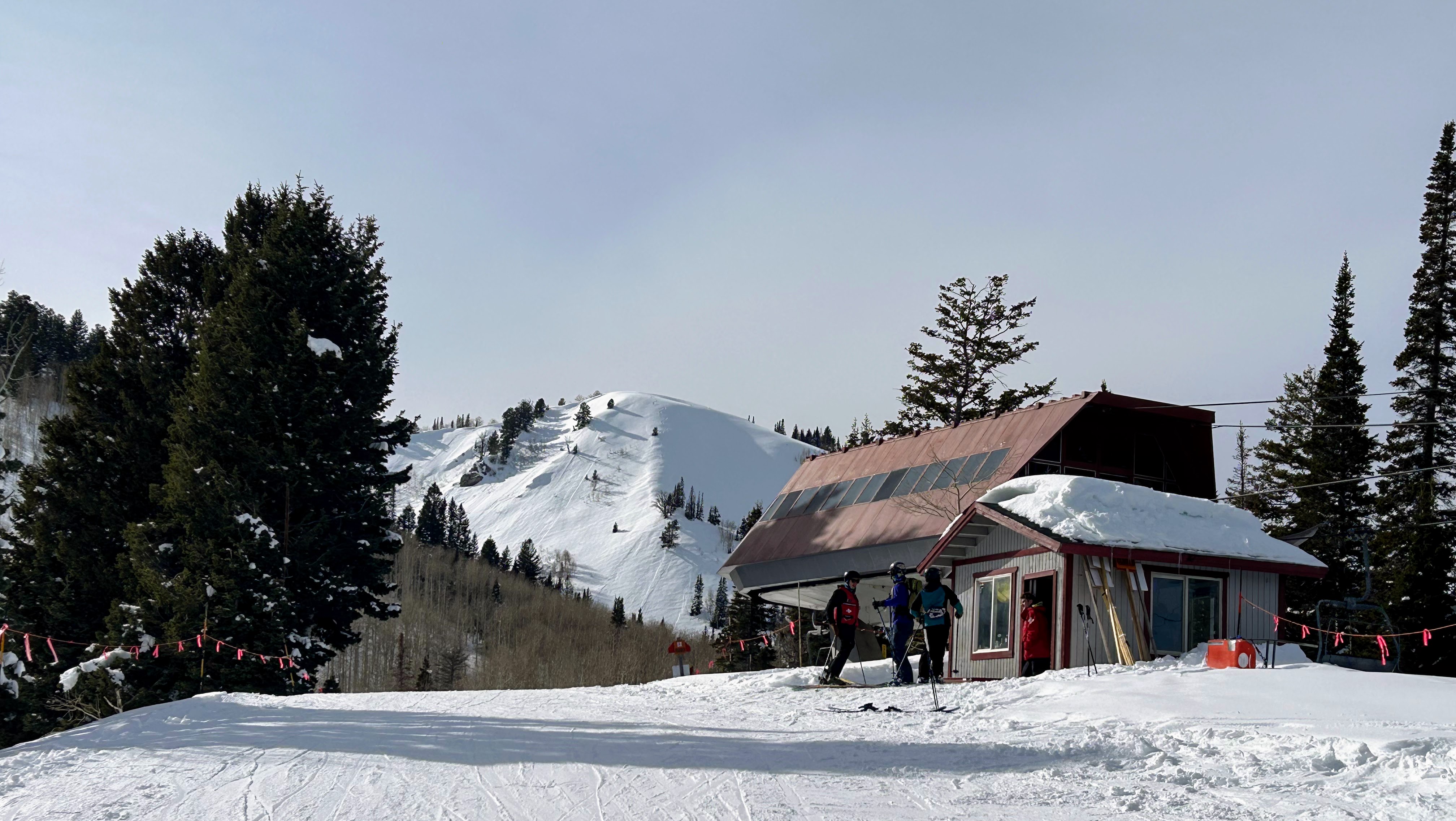
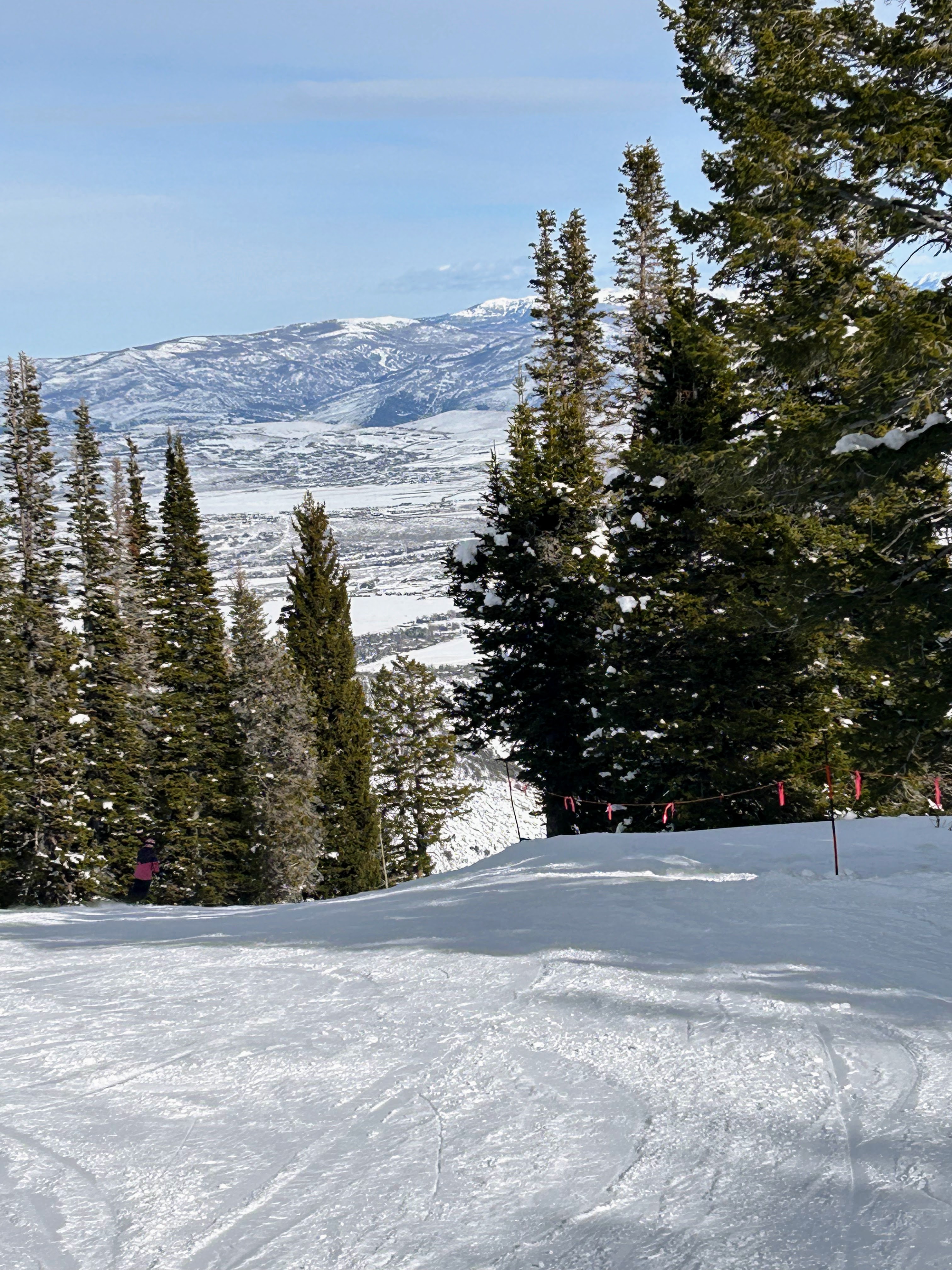
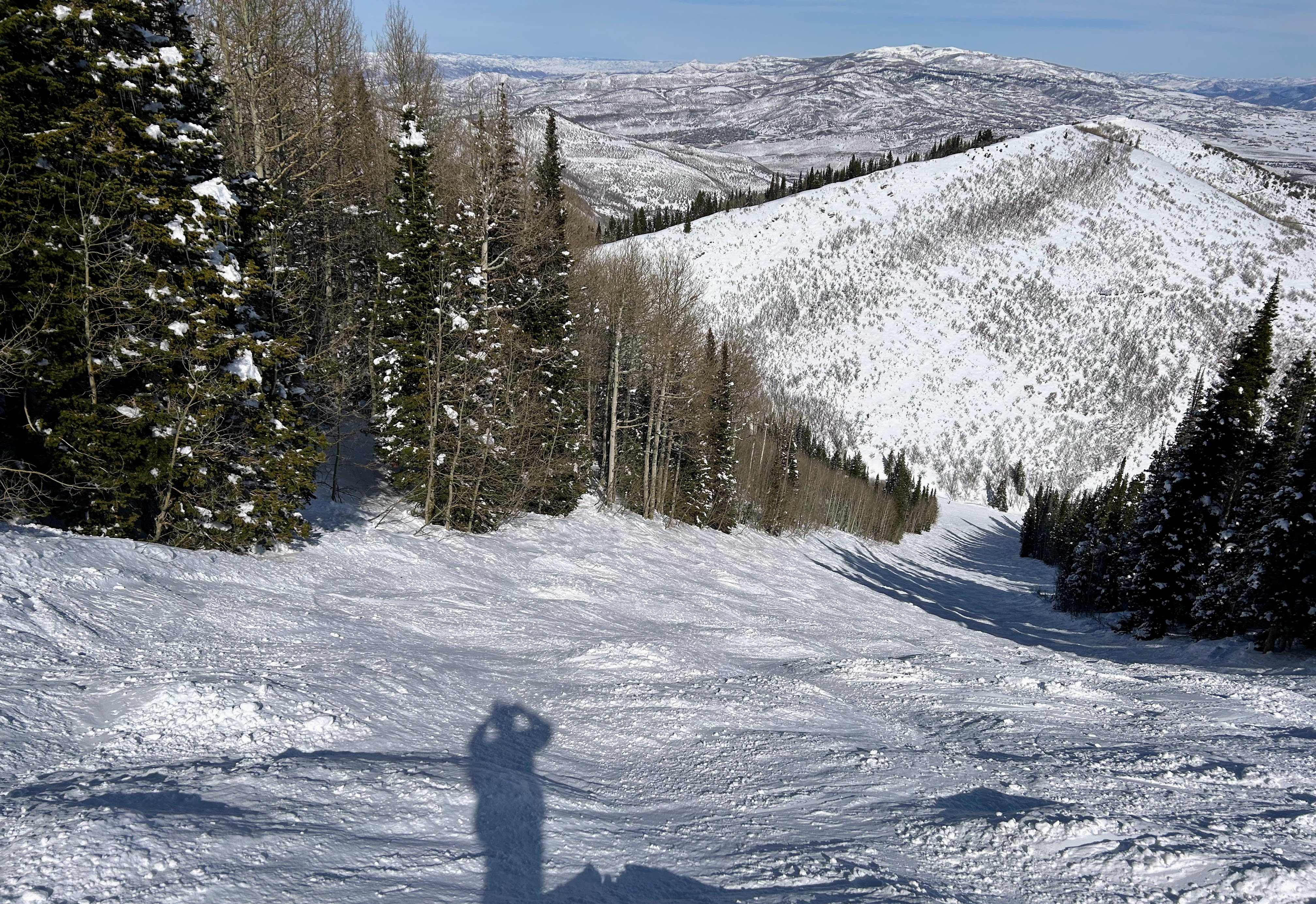
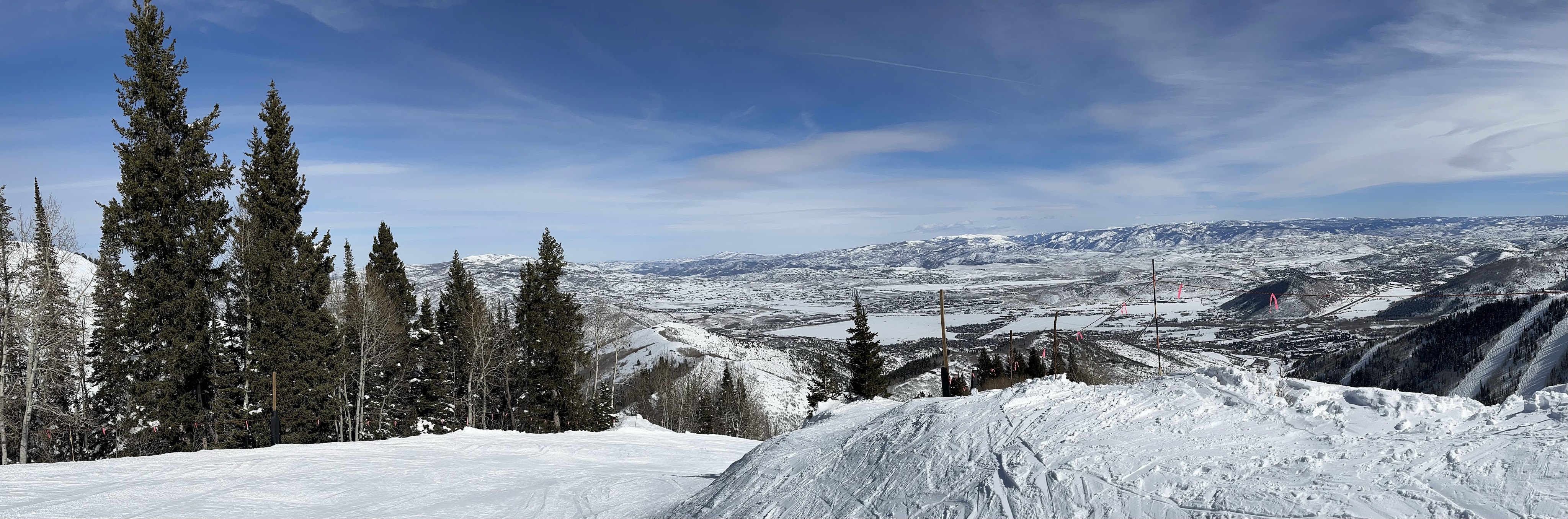
There was fantastic skiing on April 6 and 7 this year at Park City, Utah. A late season storm provided a gentle downfall of powdery snow. This was a welcome change from two days previous, when warm afternoon temperatures had us skiing in slush.

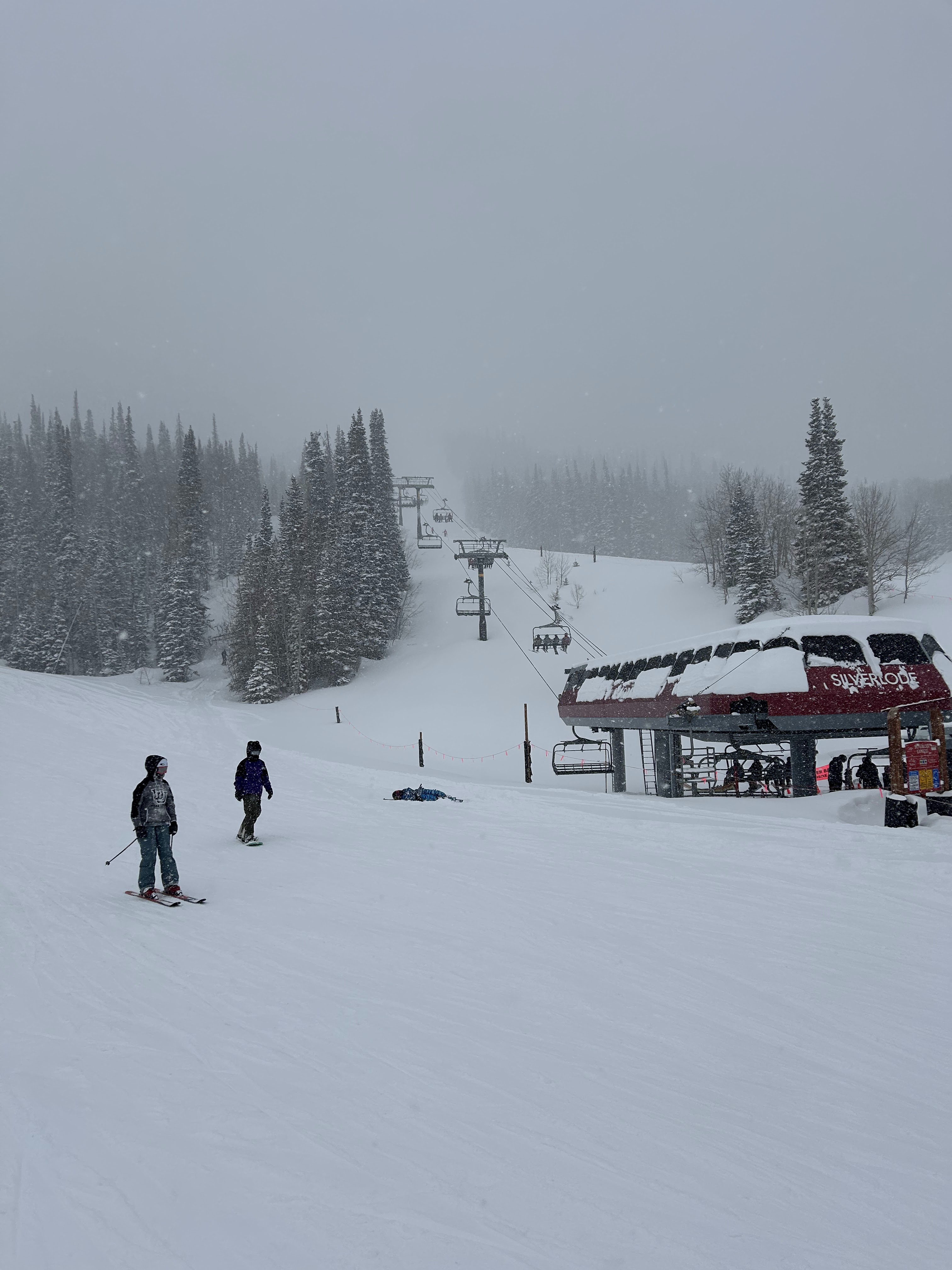

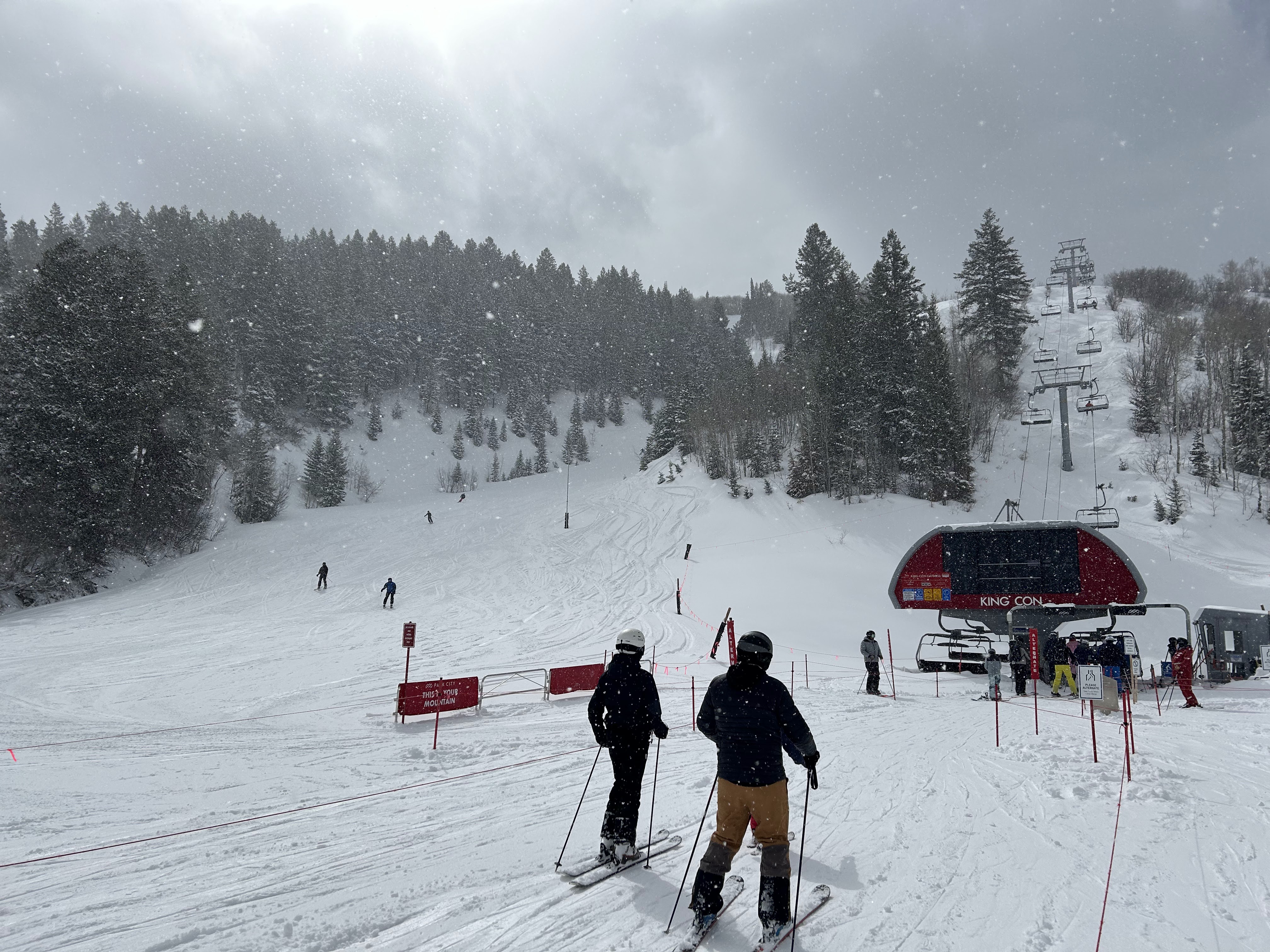

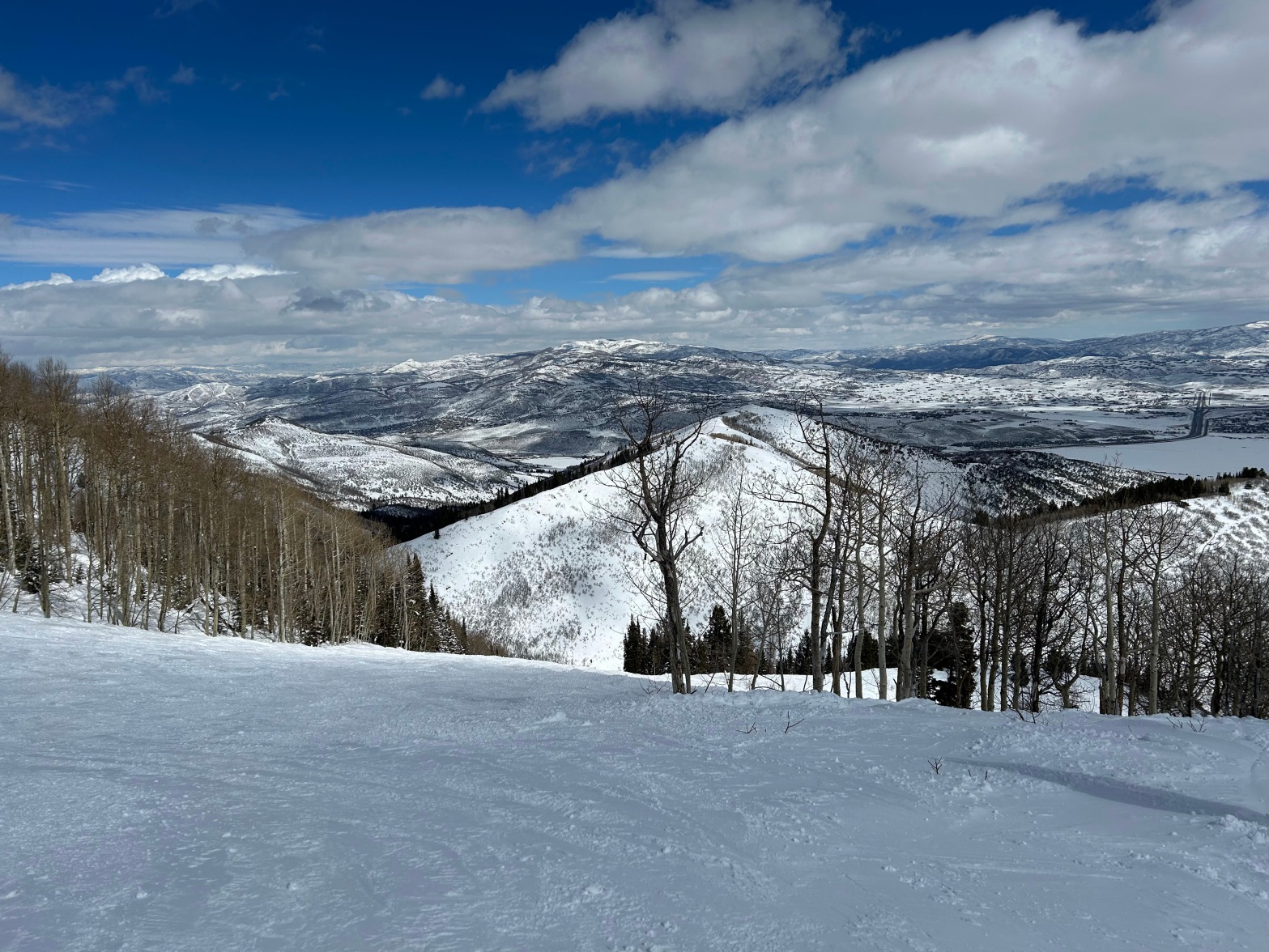
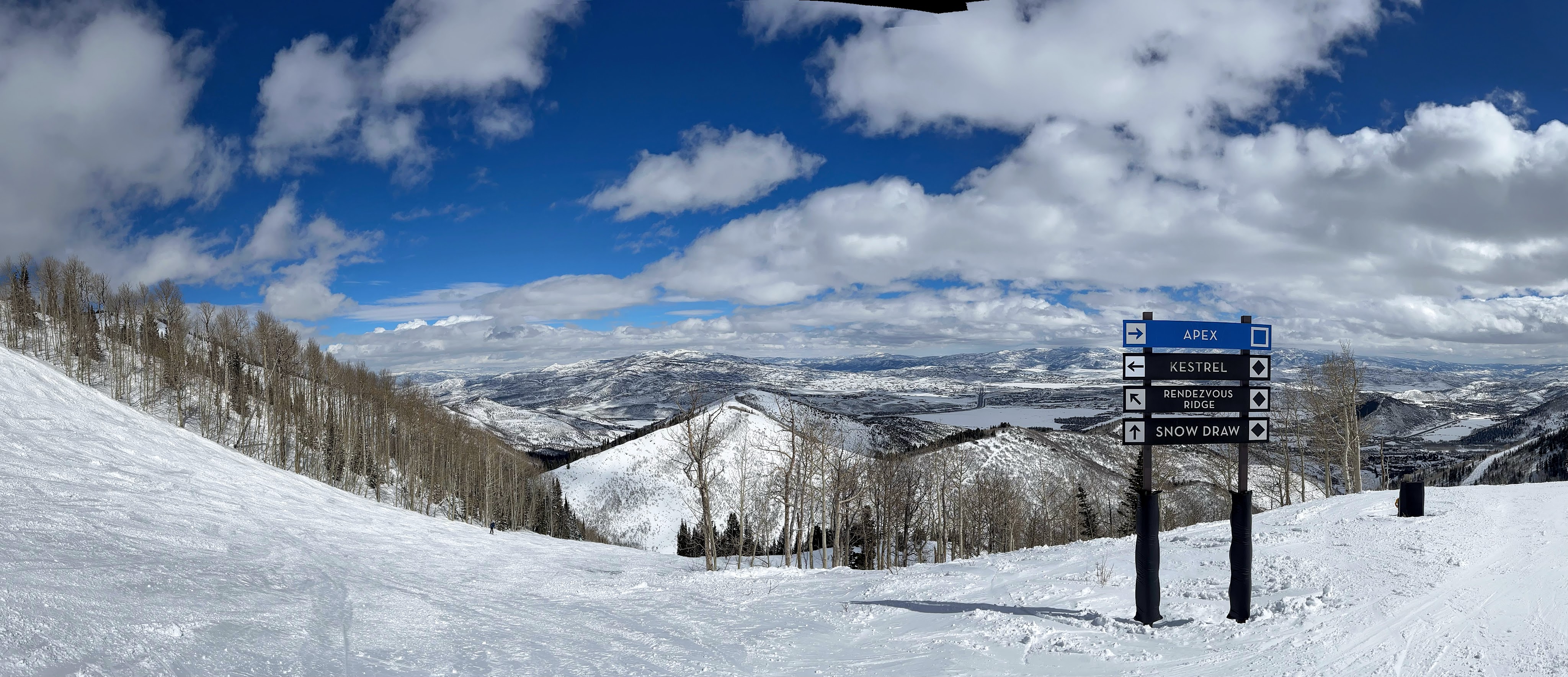
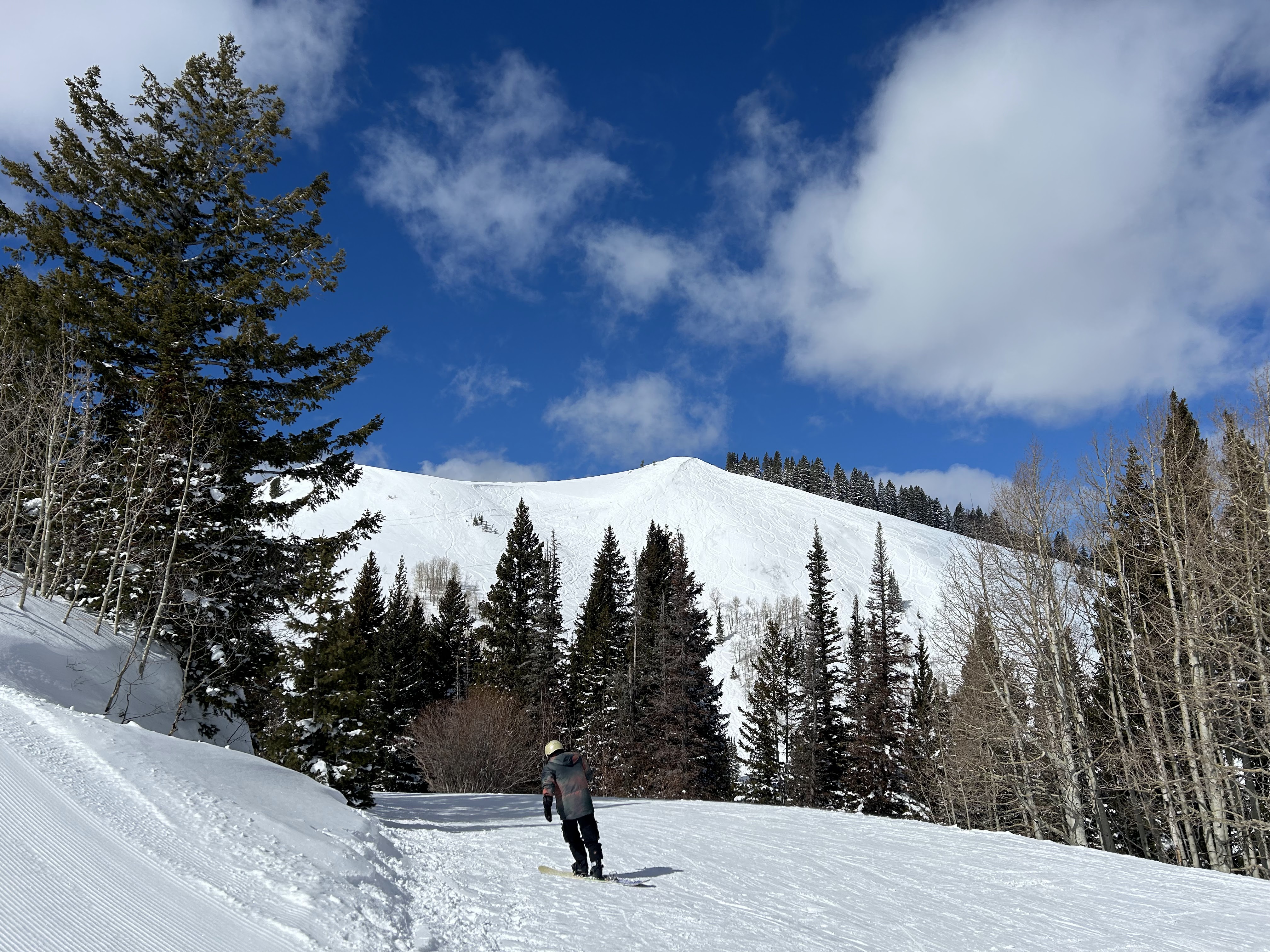
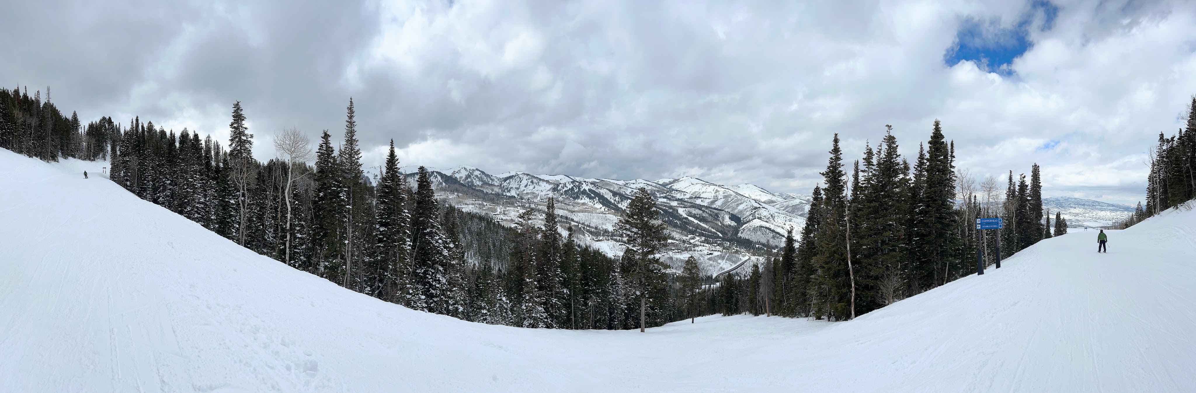
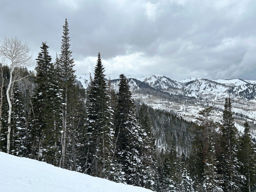
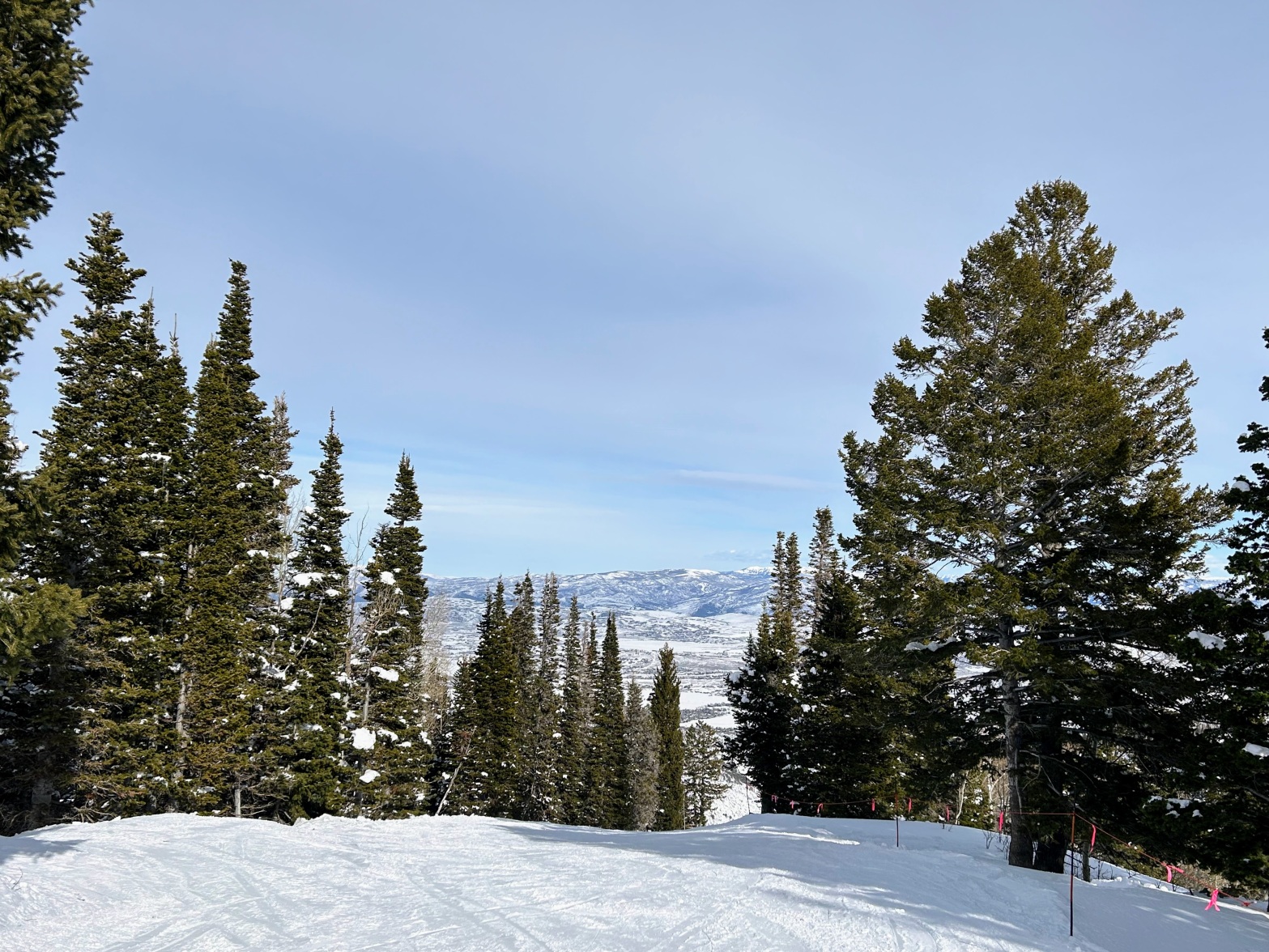
Just images from a great day skiing in the Canyons section of Park City on Mardi Gras day.
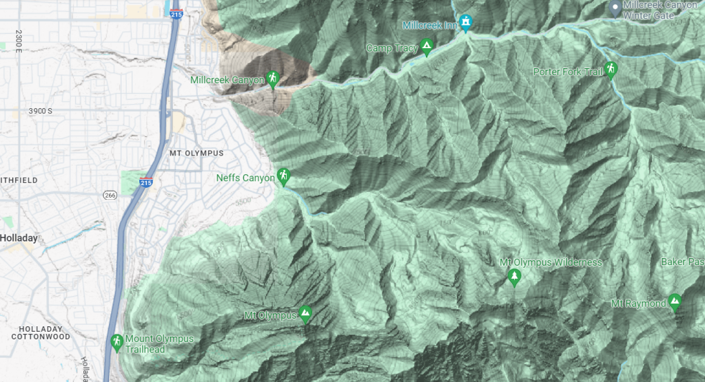
Mountainous hiking trails are remarkably close to Salt Lake City. One example is Neff’s Canyon trail; its trailhead is shown on the map below, right at the east edge of the Salt Lake City suburbs.
The trail is steep, ascending 3562 feet over its 3.5-mile length. For my first visit, on January 9, I only ventured a mile up the trail, and climbed 700 feet according to my Garmin. This first mile seemed steep to me, but the further 2.5 miles are even steeper.
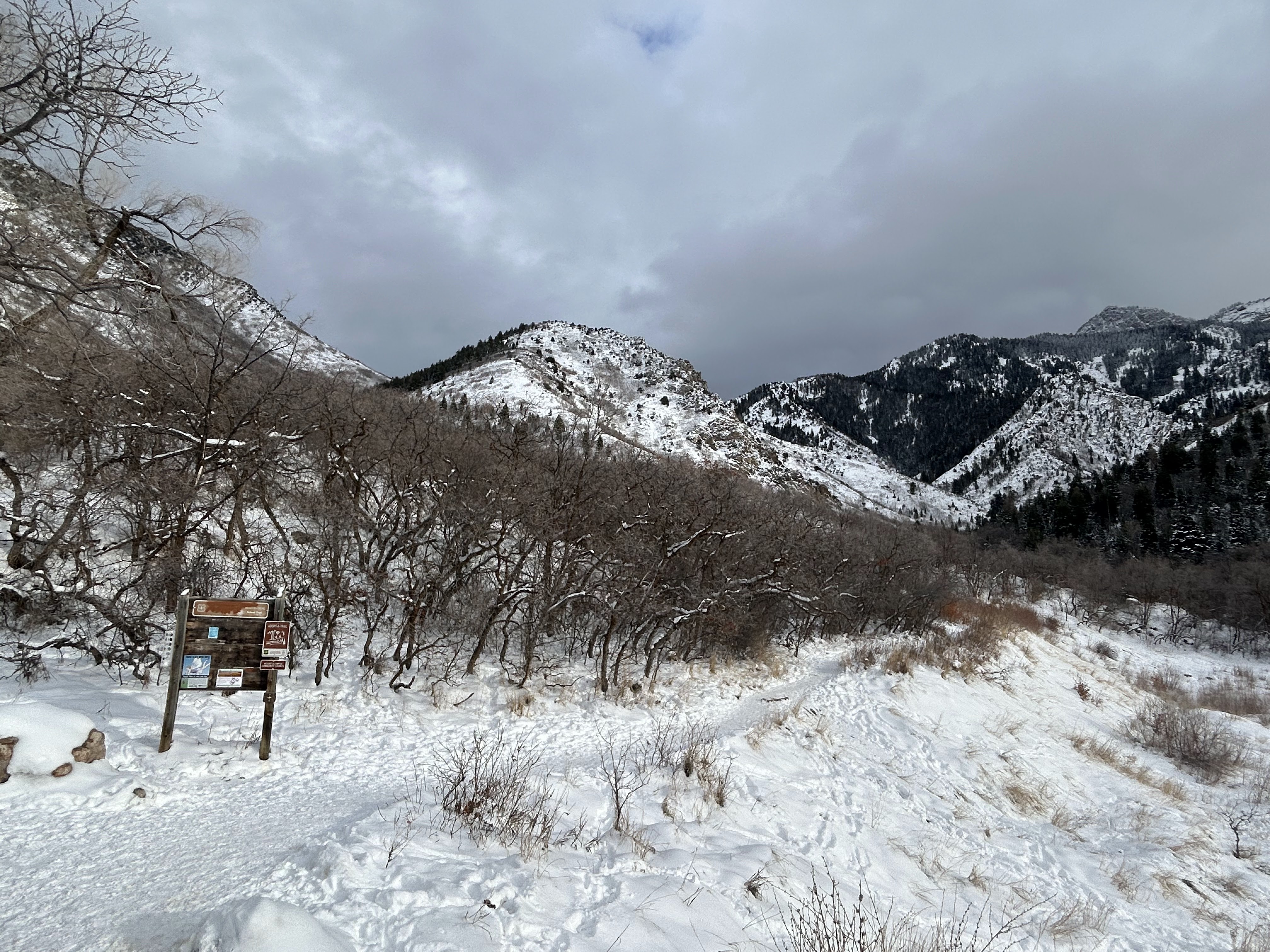
Near the trailhead the dominant trees are Scrub Oak, only a mile up the trail White Firs have taken over.
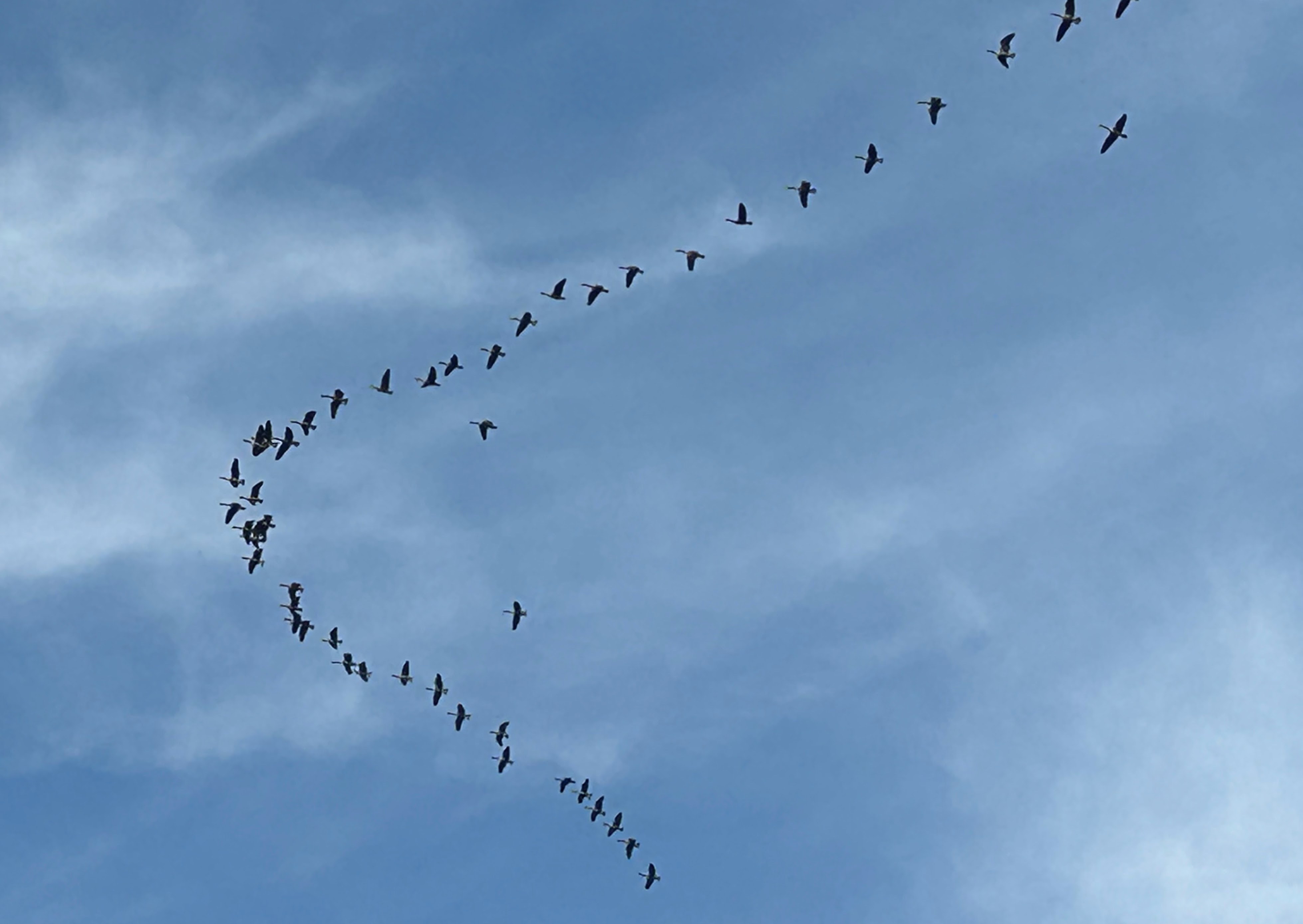
Geese heading south
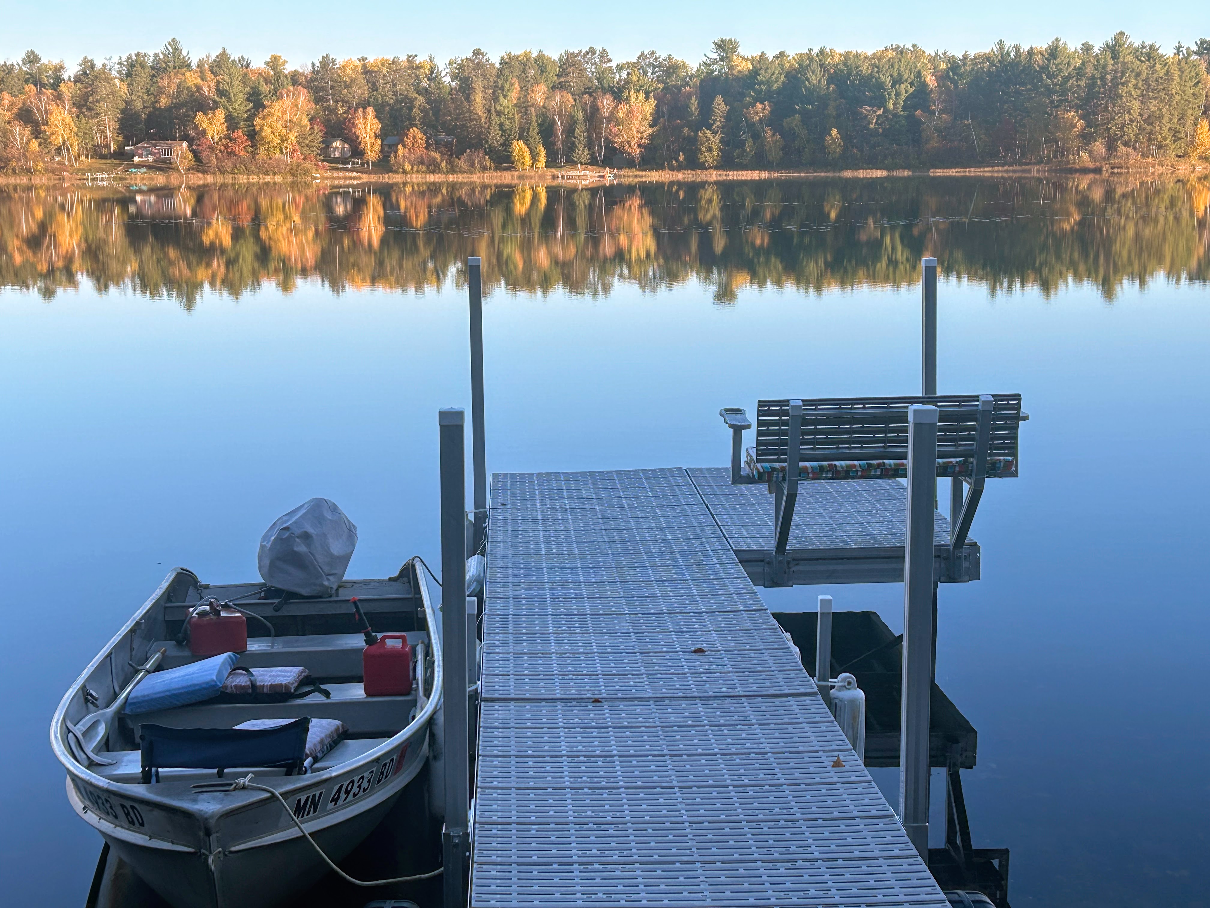
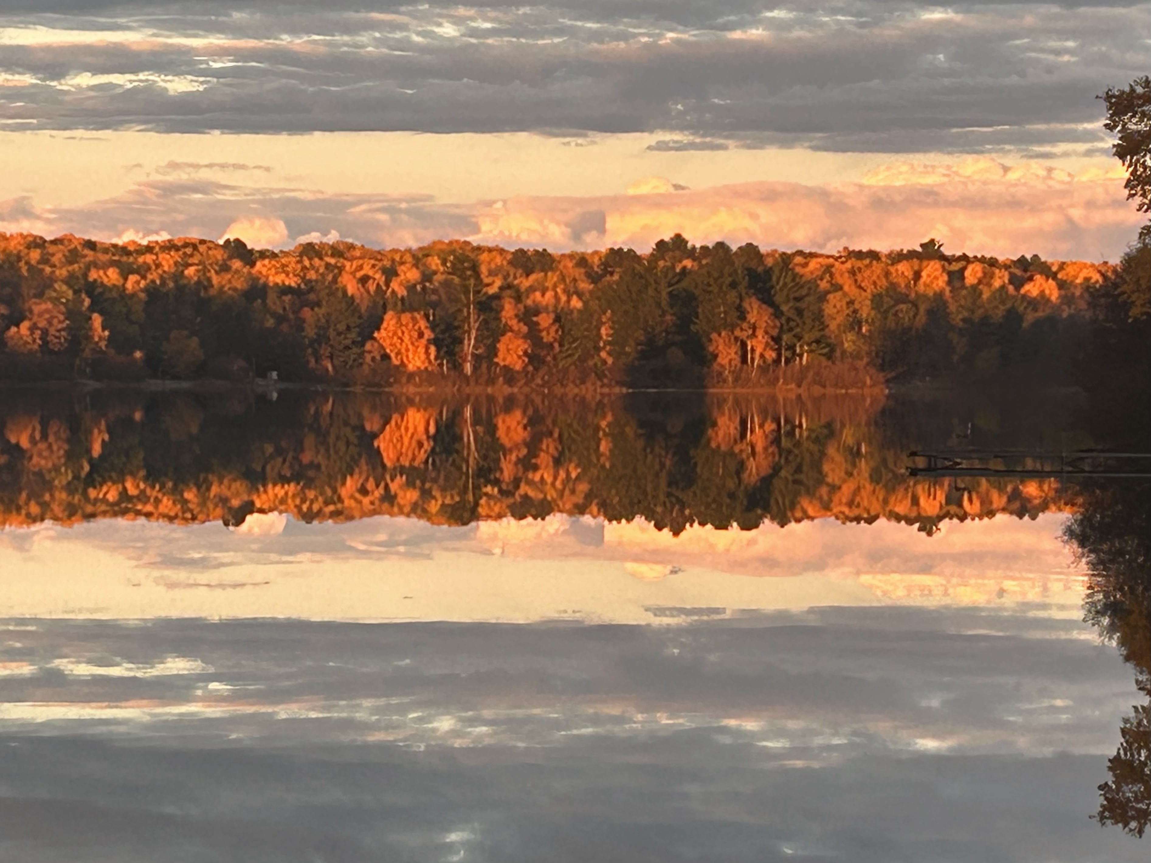
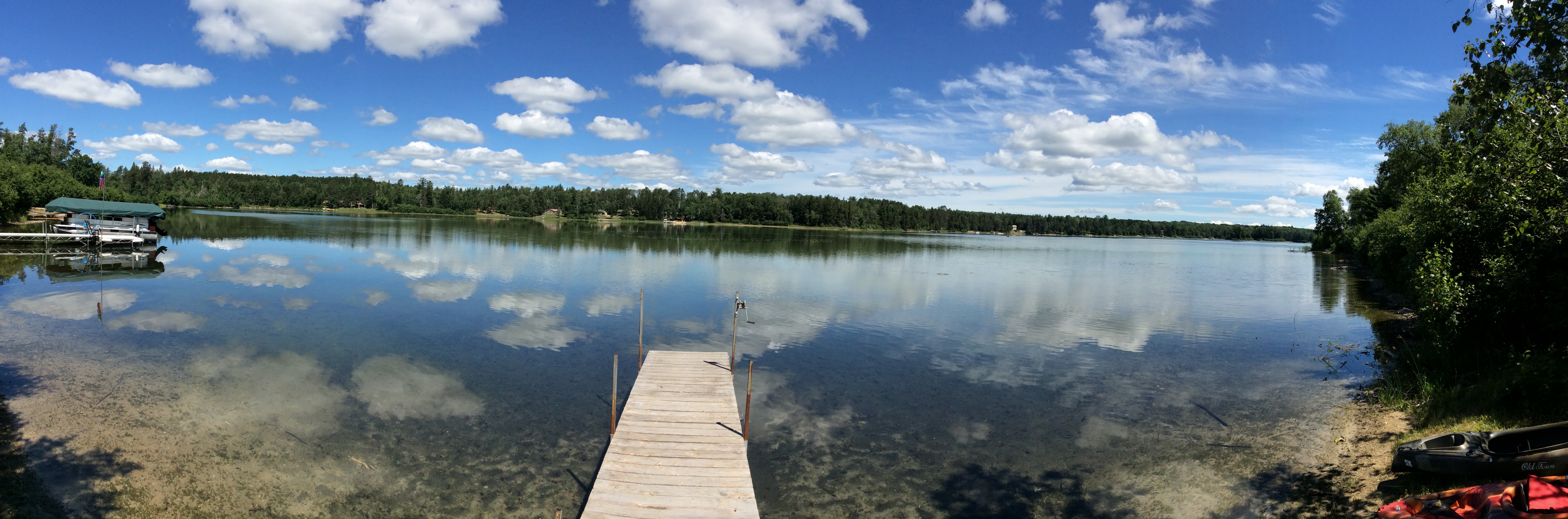
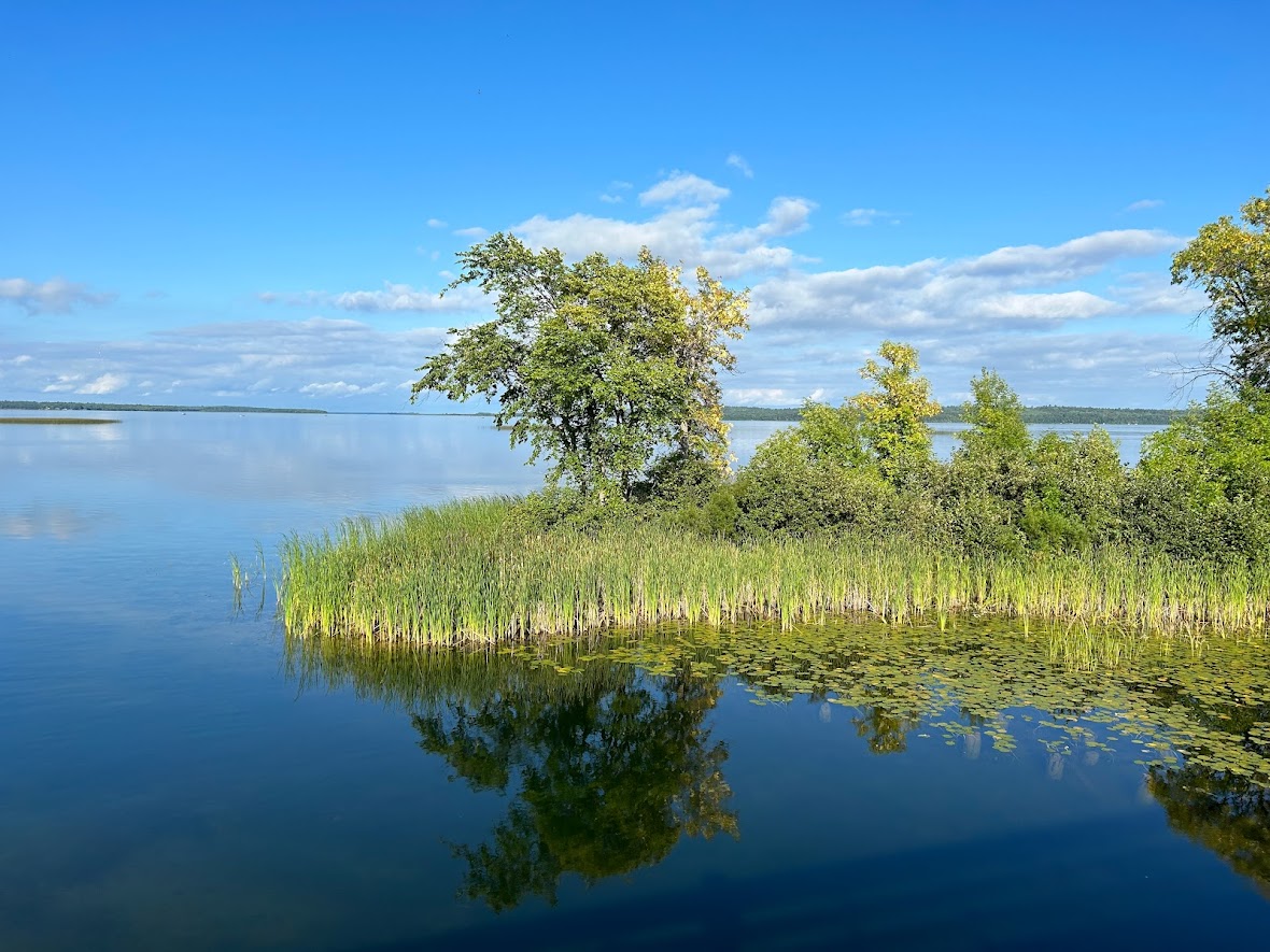
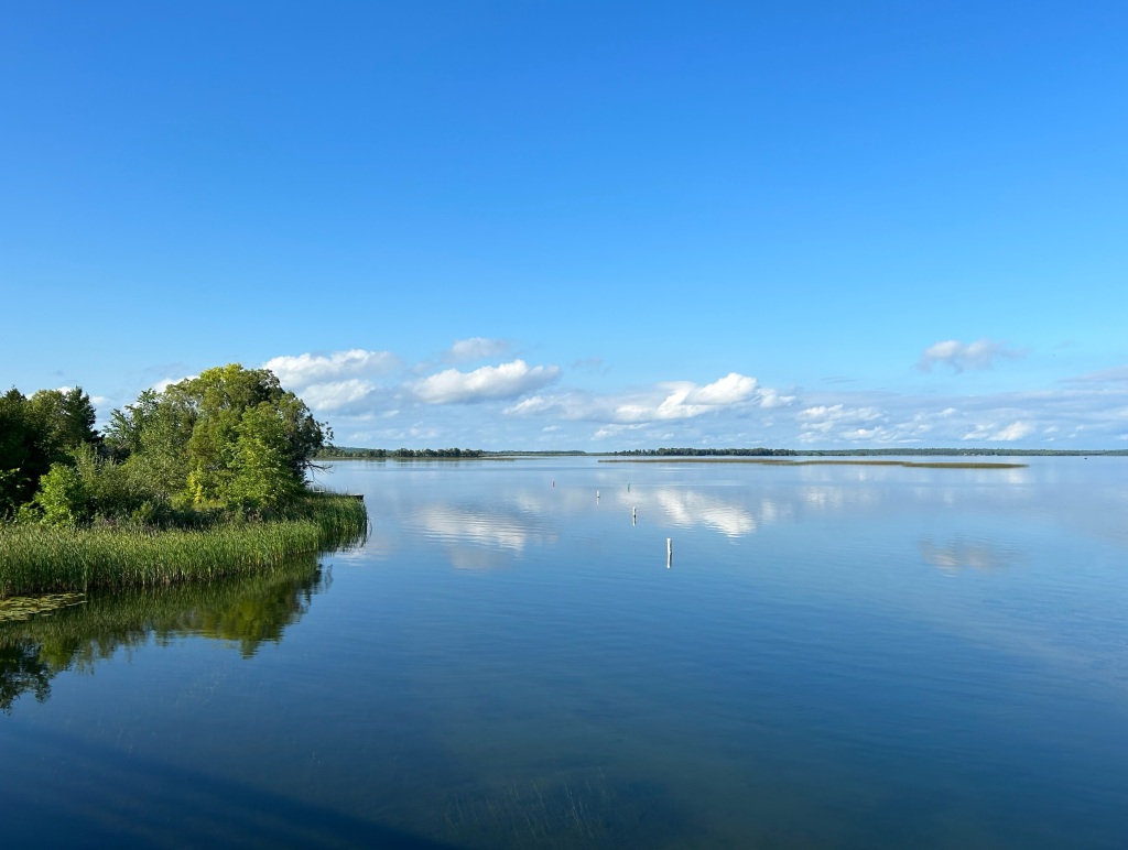
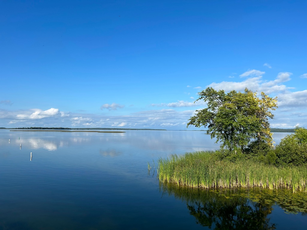
Reflections
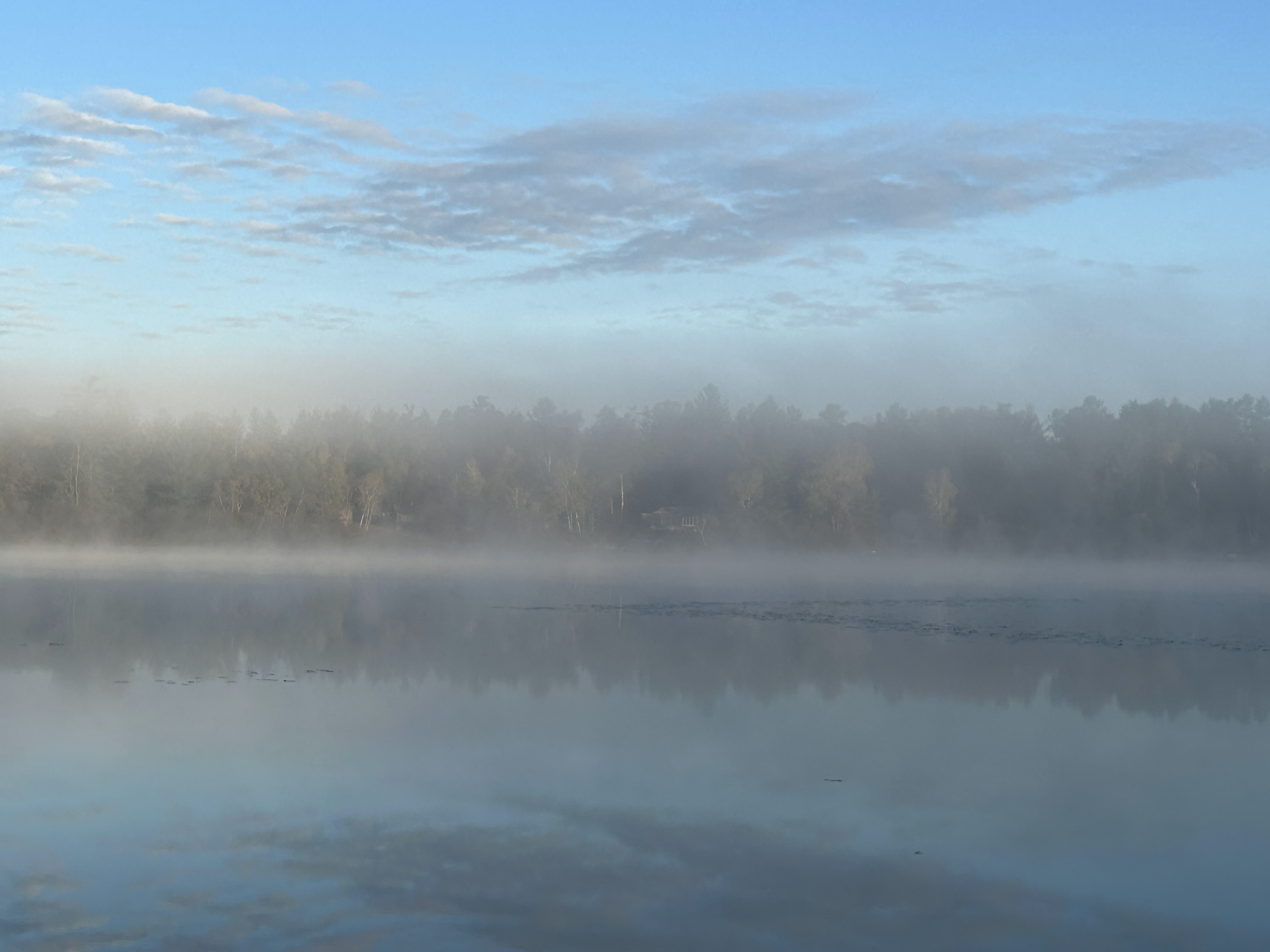
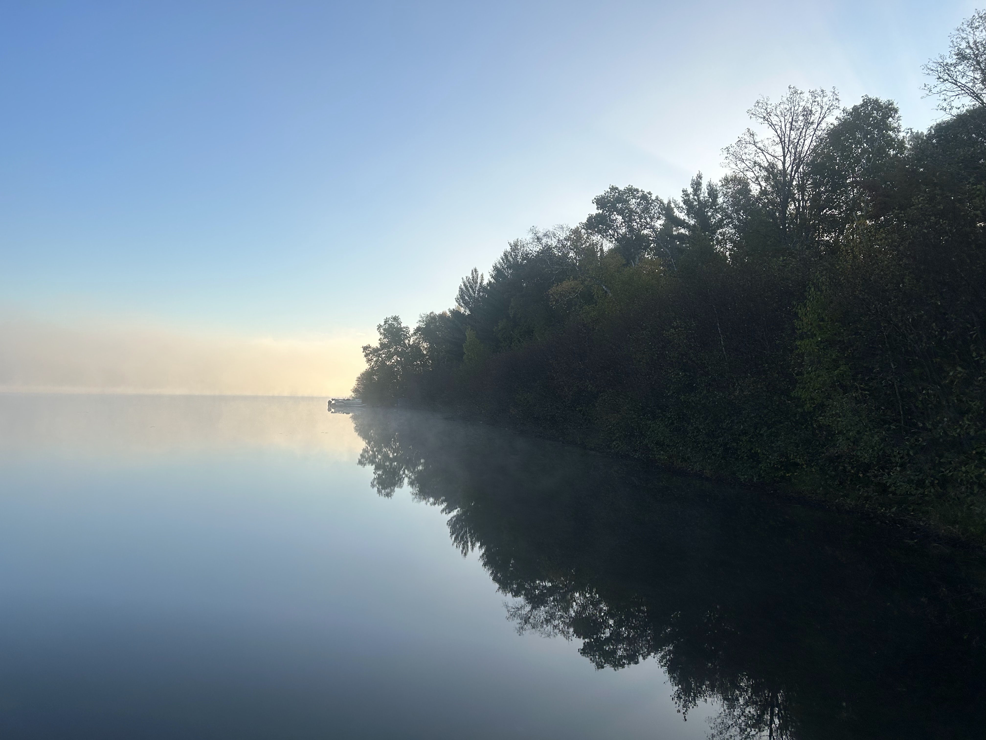
Foggy morning on the lake
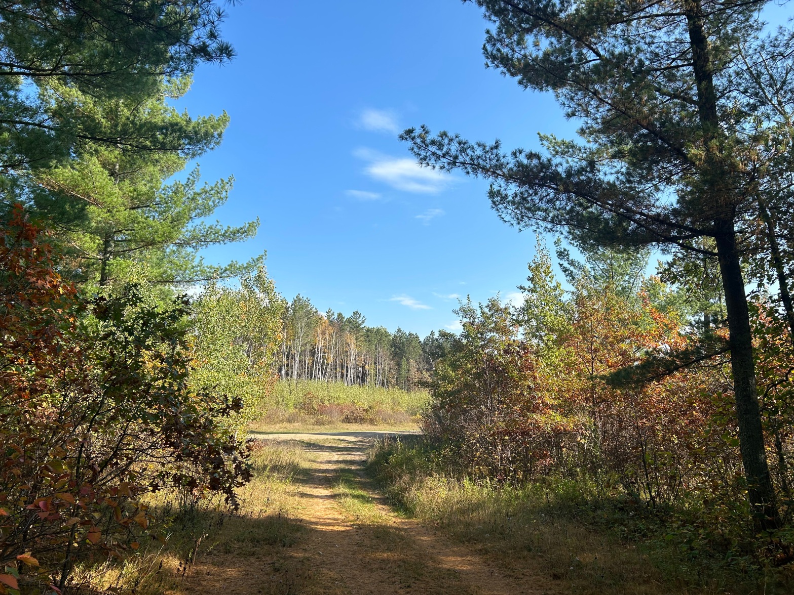
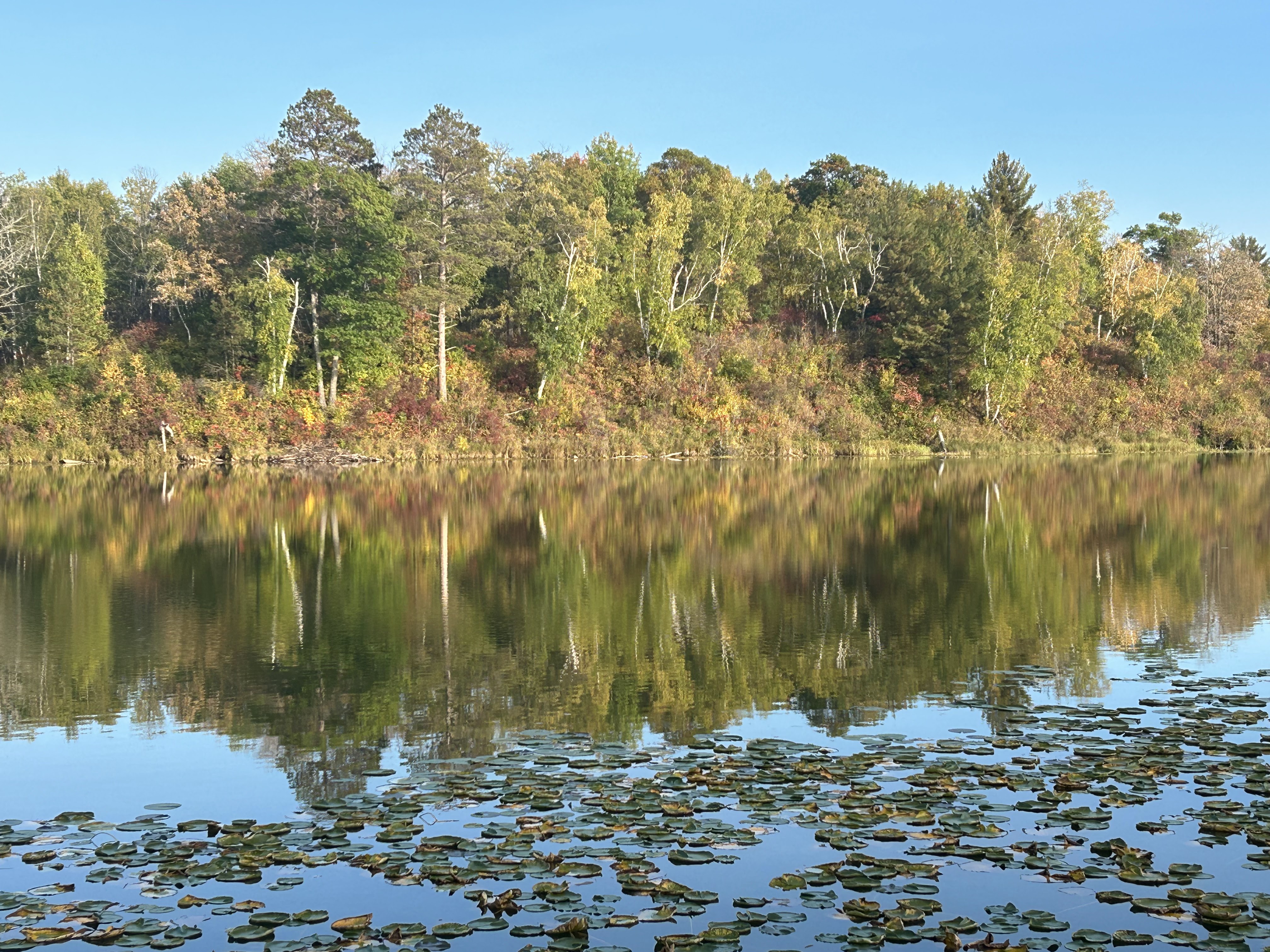
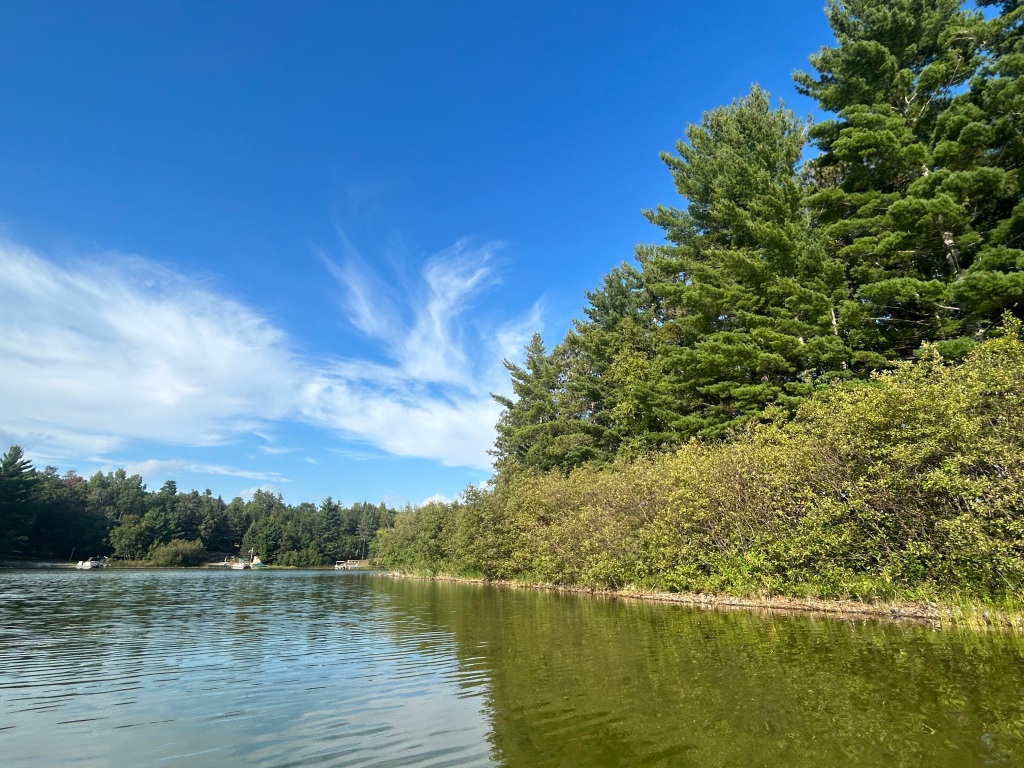
In the woods
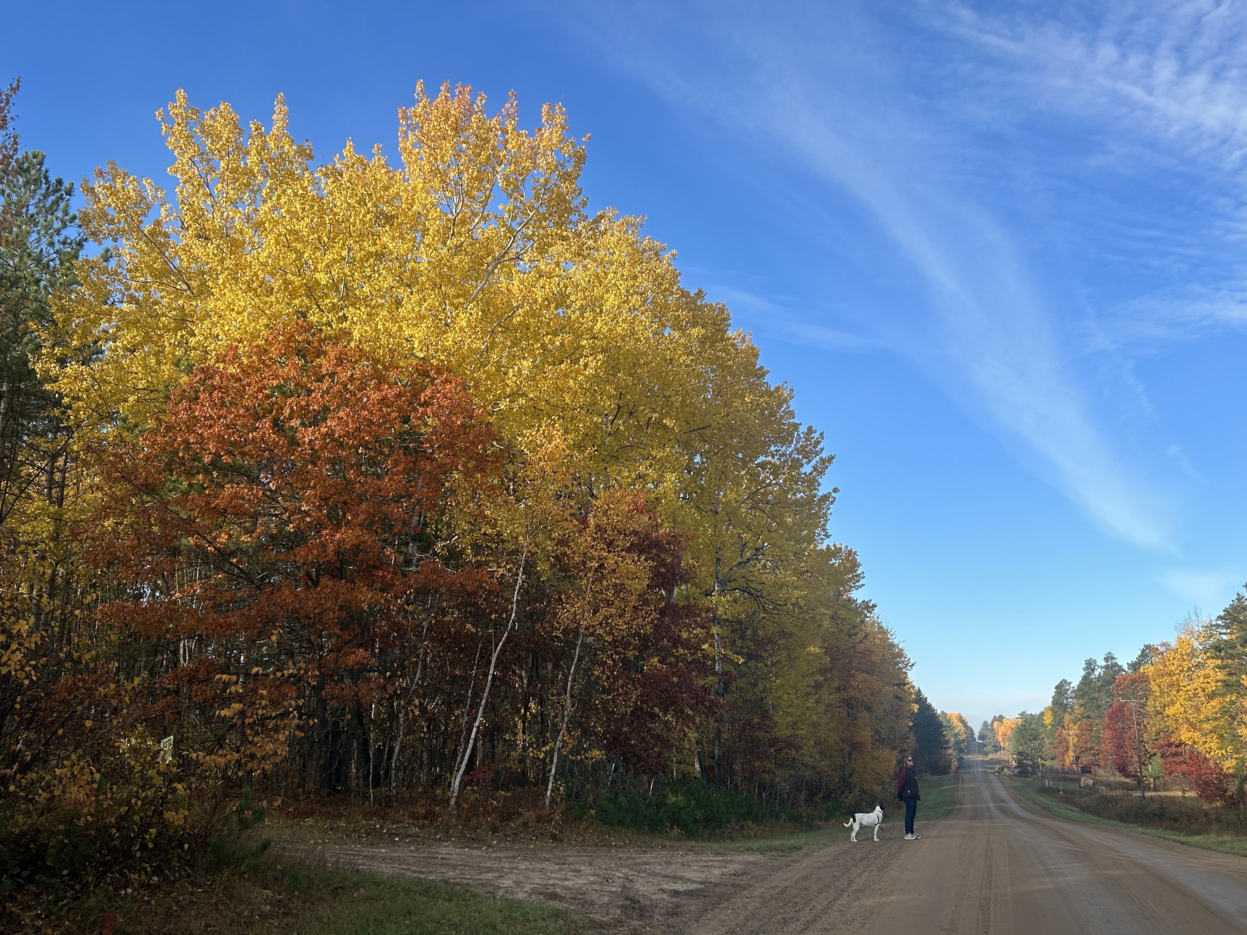
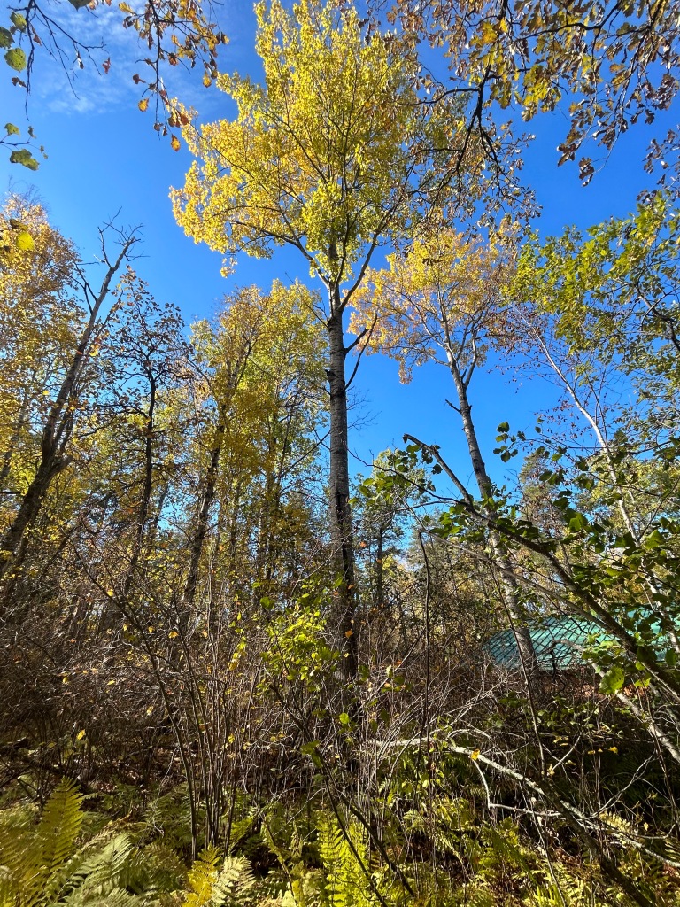
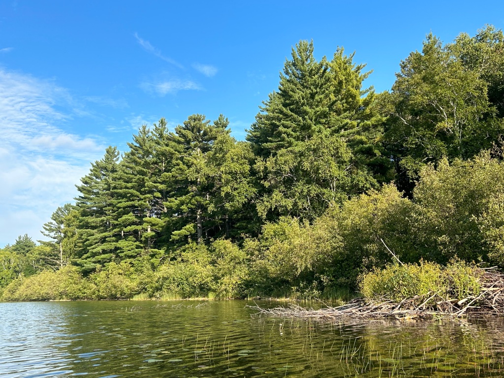
Already in August there are clear signs of approaching fall in North-Central Minnesota. It may be that leaves are turning early this year because of our dry conditions.
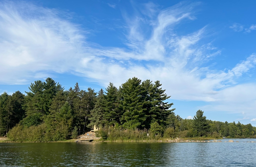
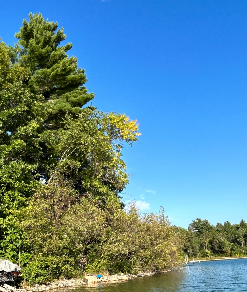
Alder and hazel bushes rimming the shores of our lake are starting to yellow.
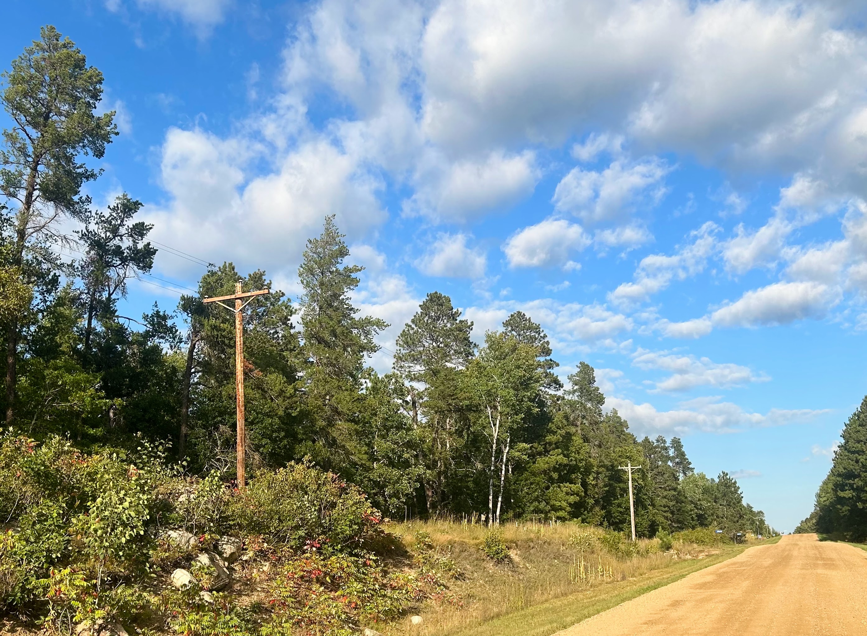
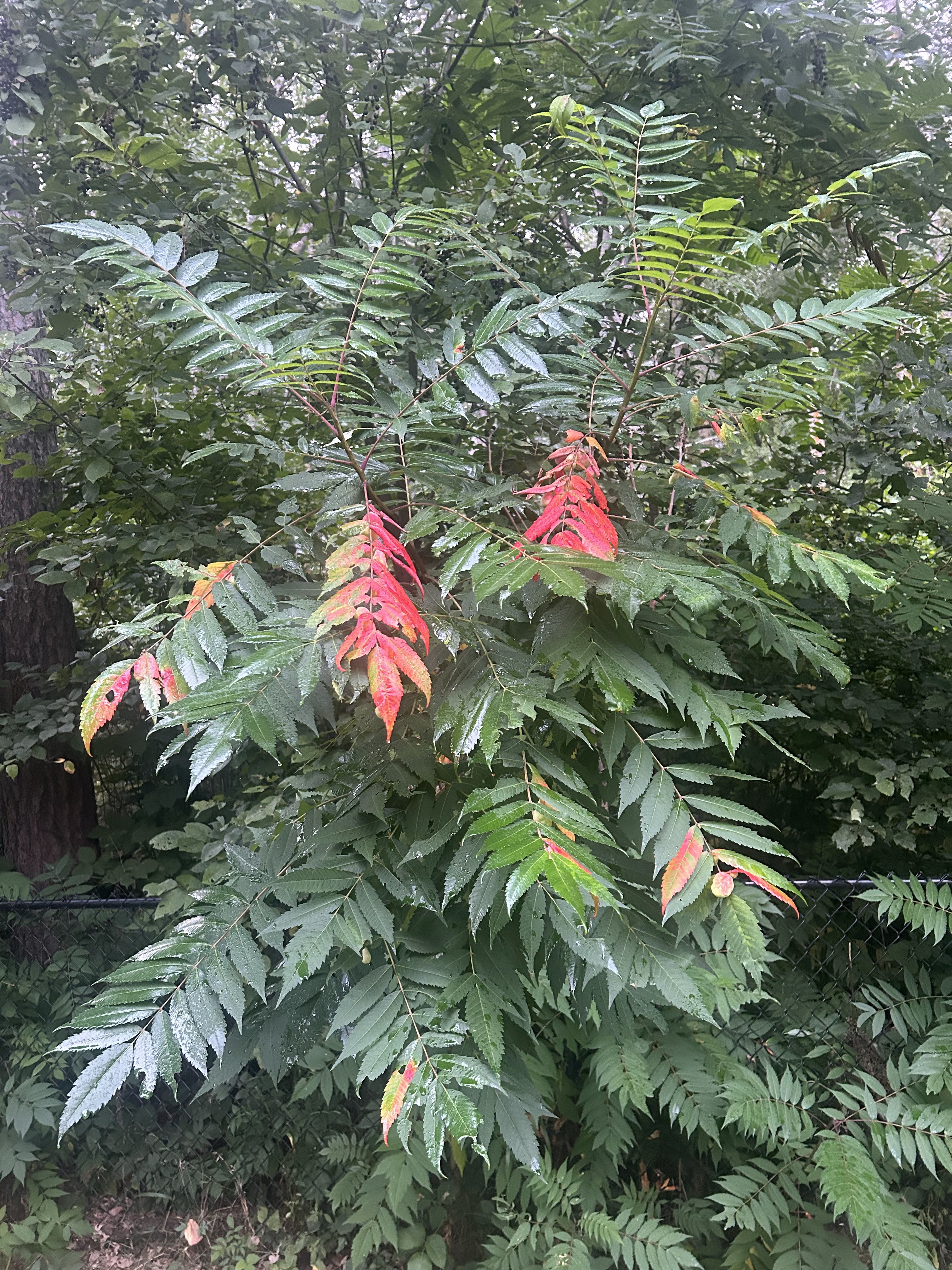
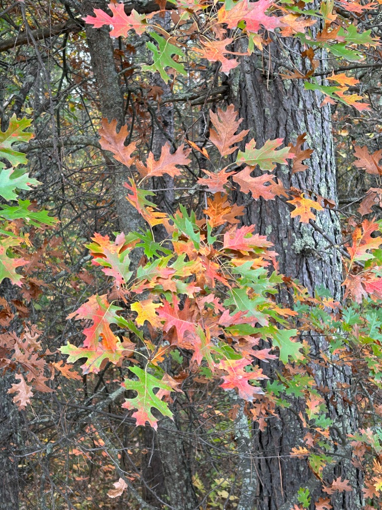
Staghorn sumac along roadsides is starting to turn red.
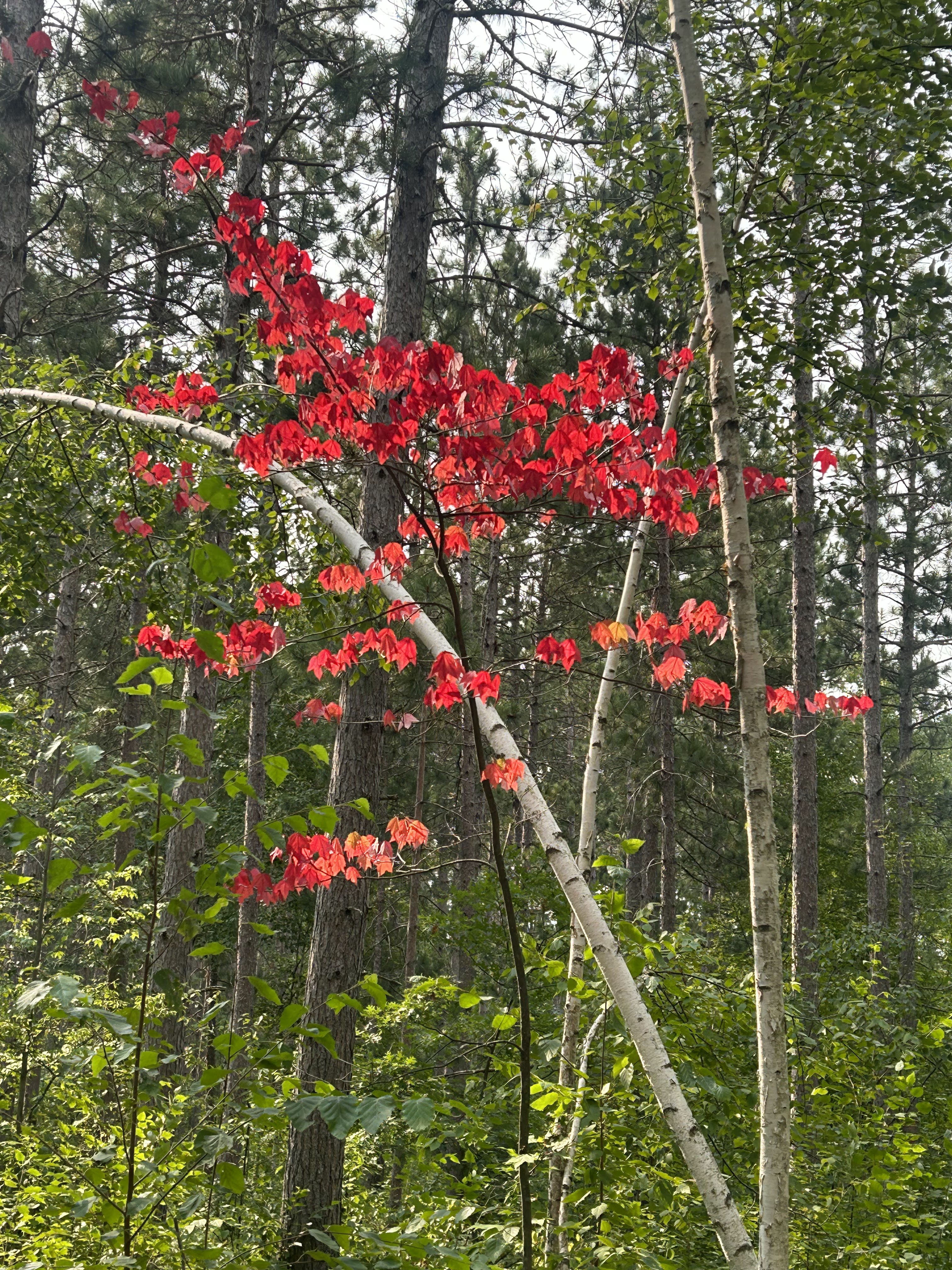
This maple was red on August 16, exceptionally early.
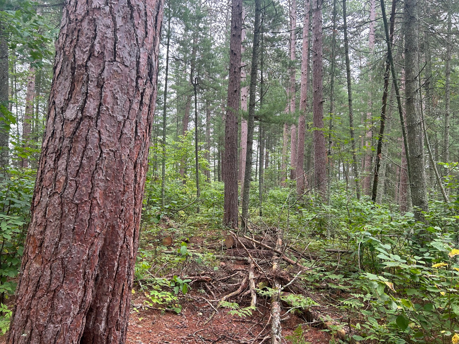
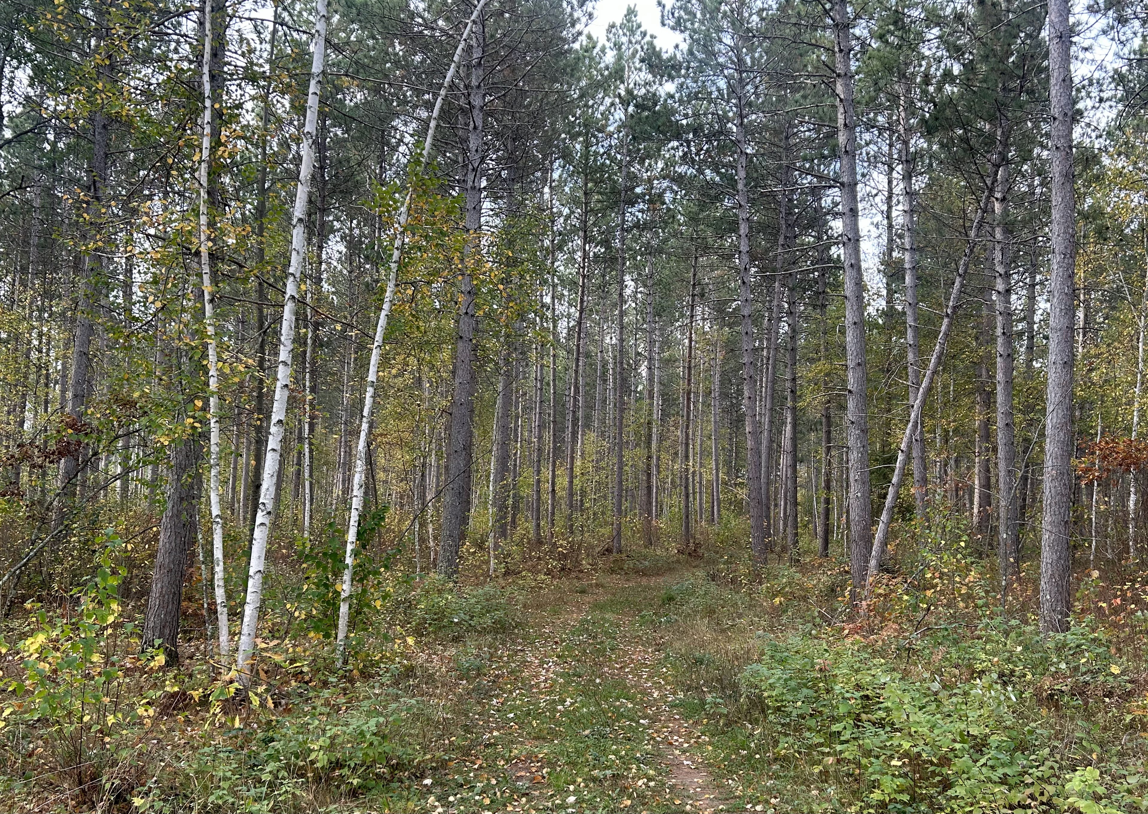
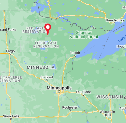
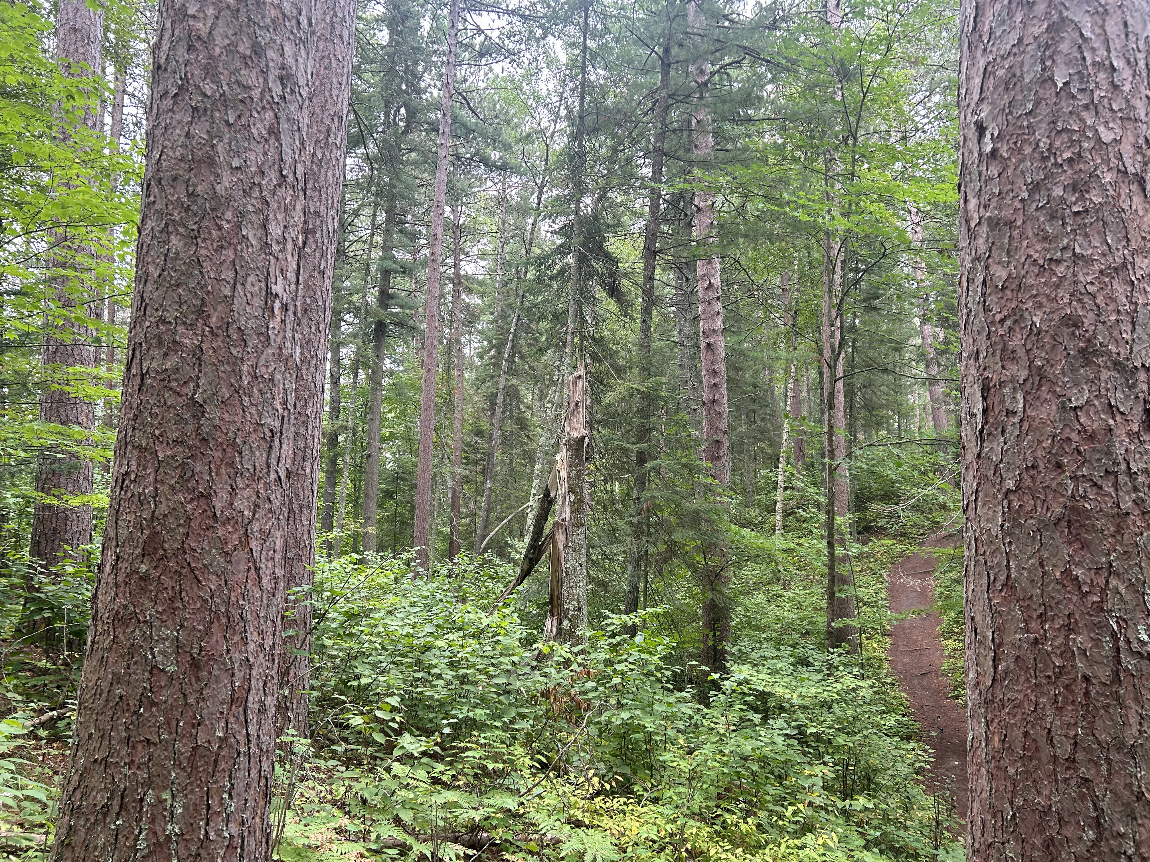
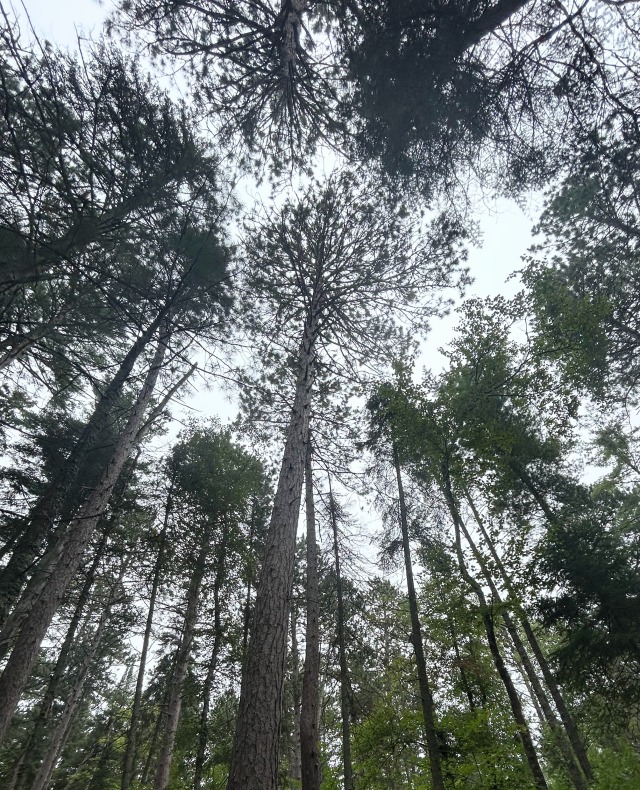
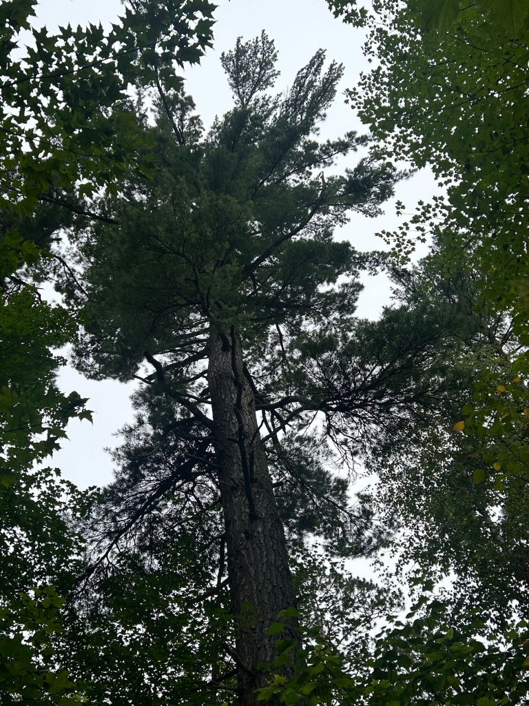
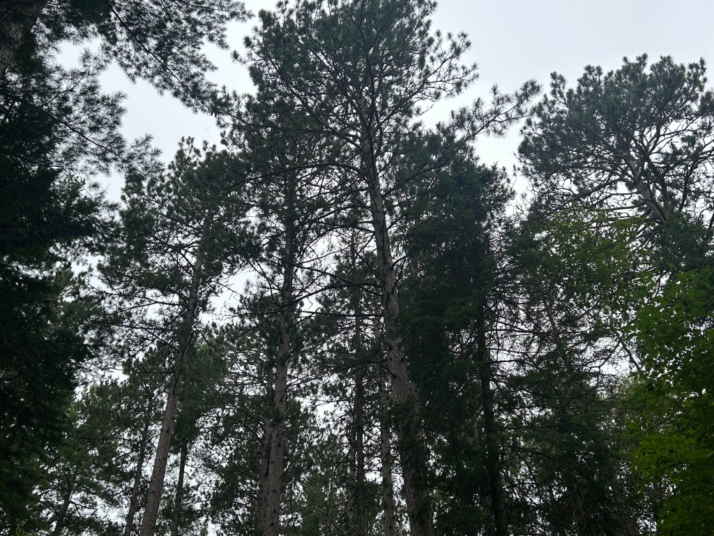
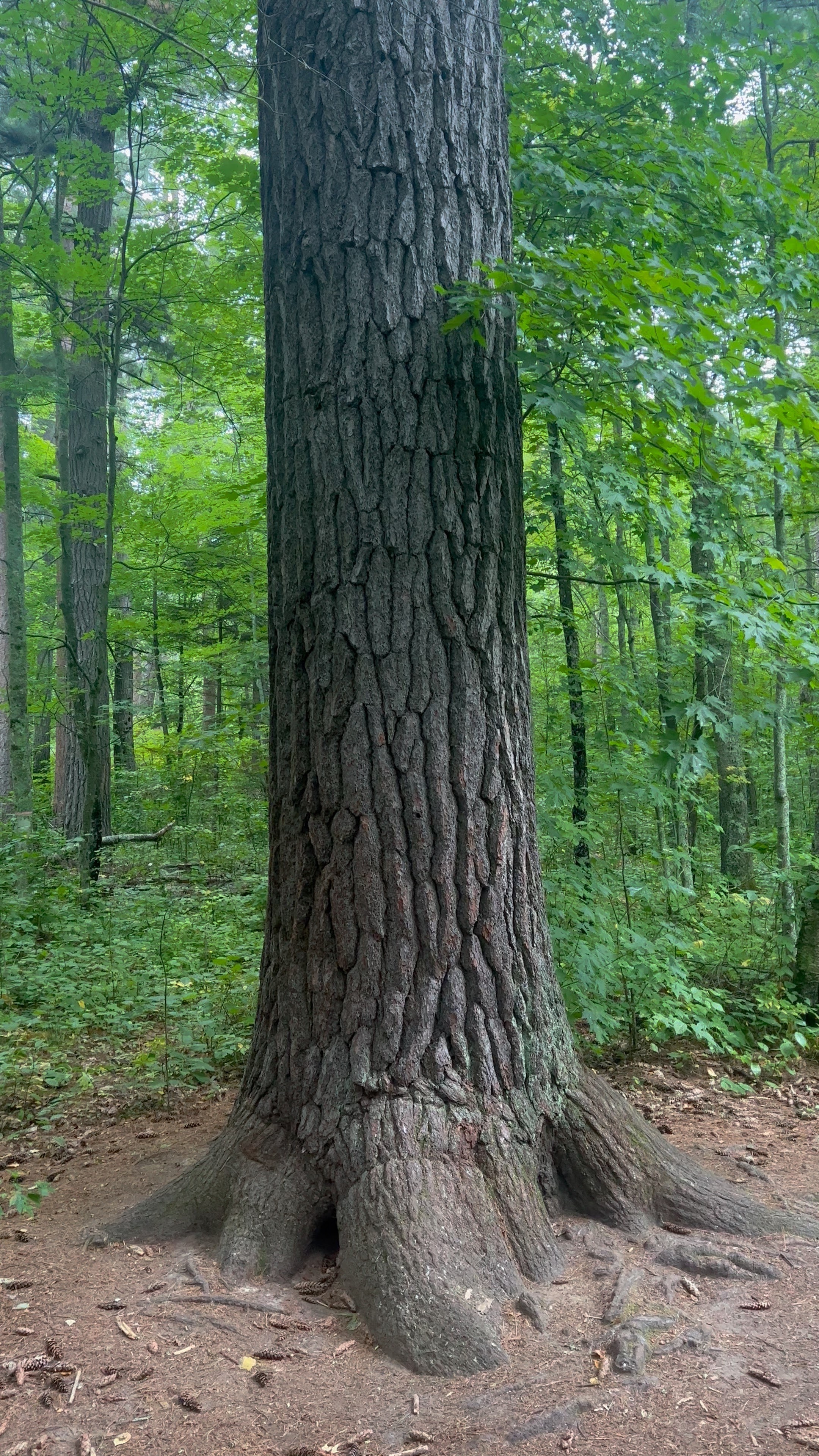
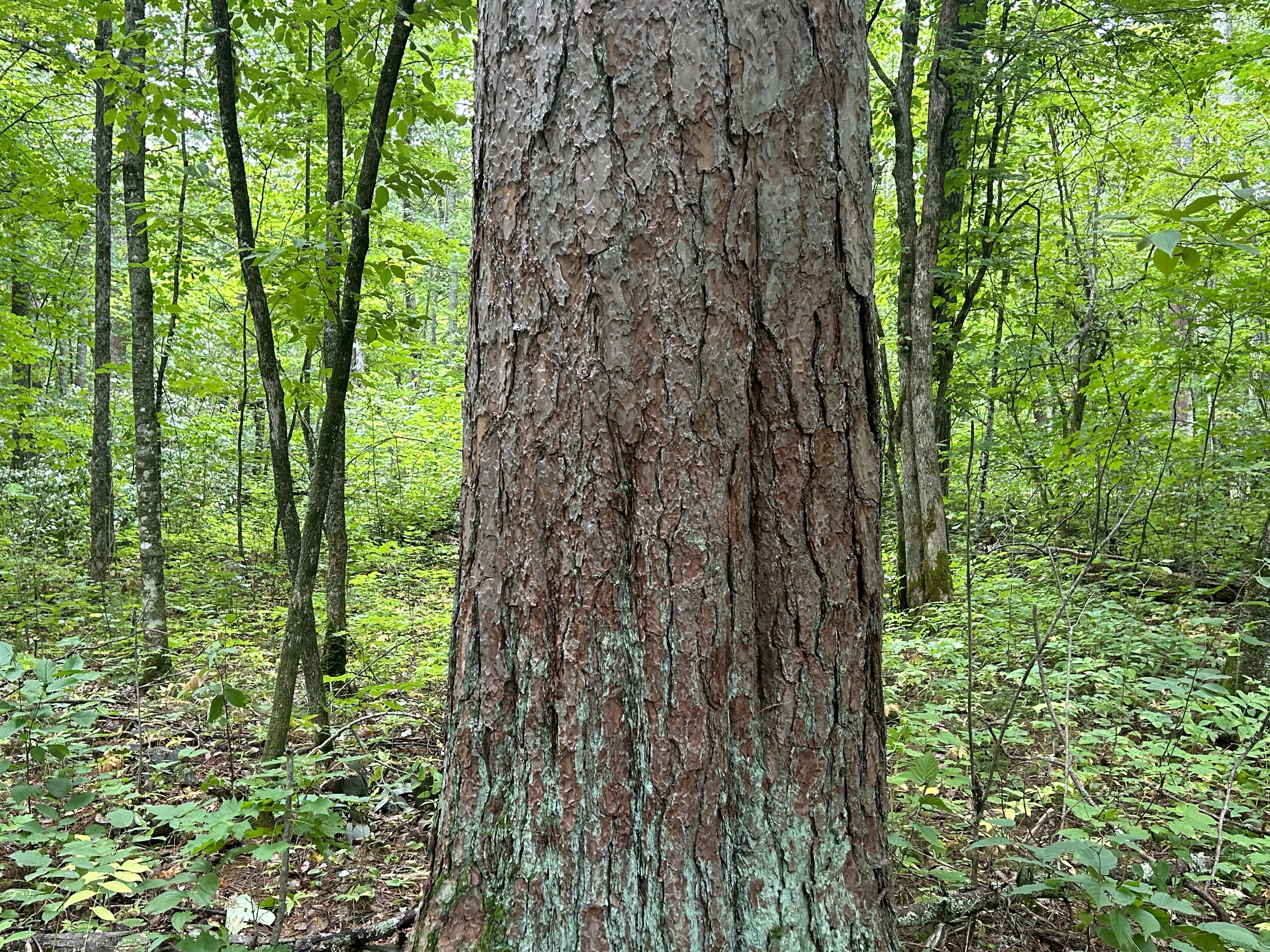
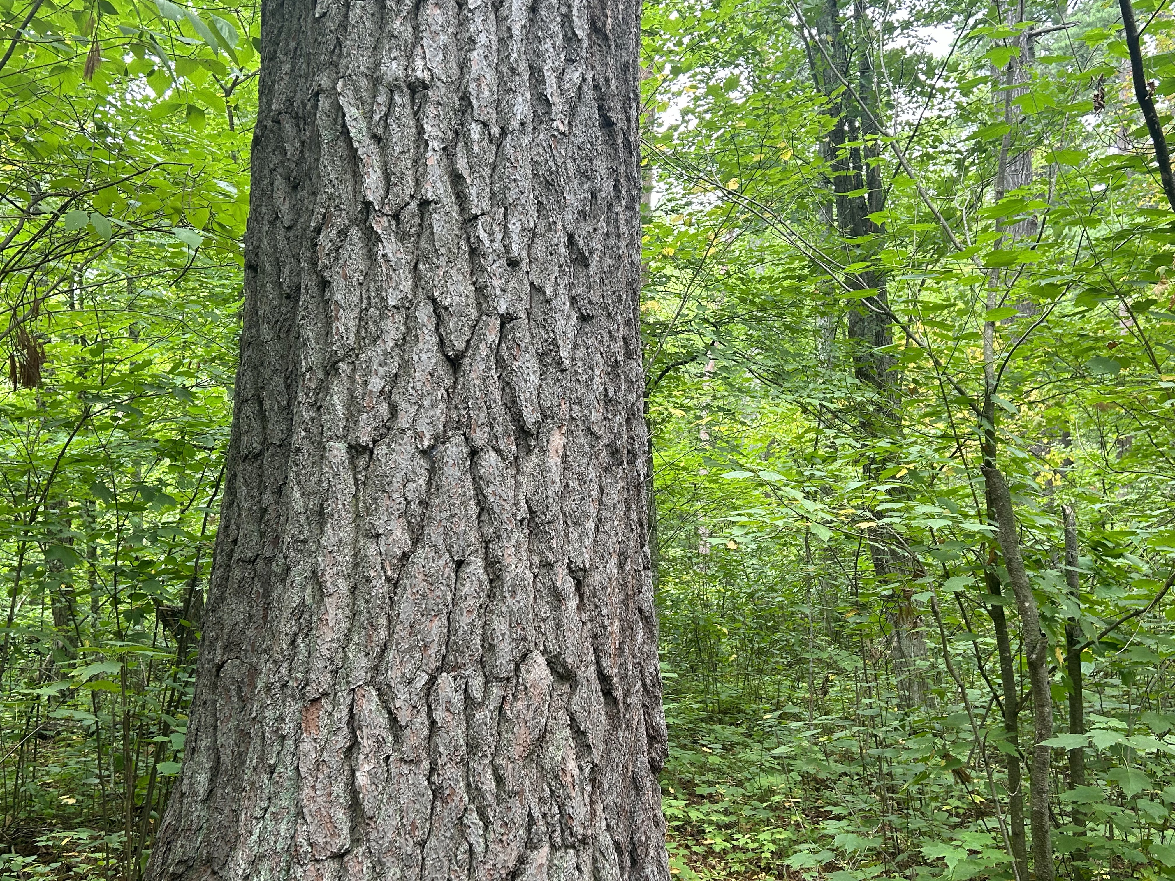
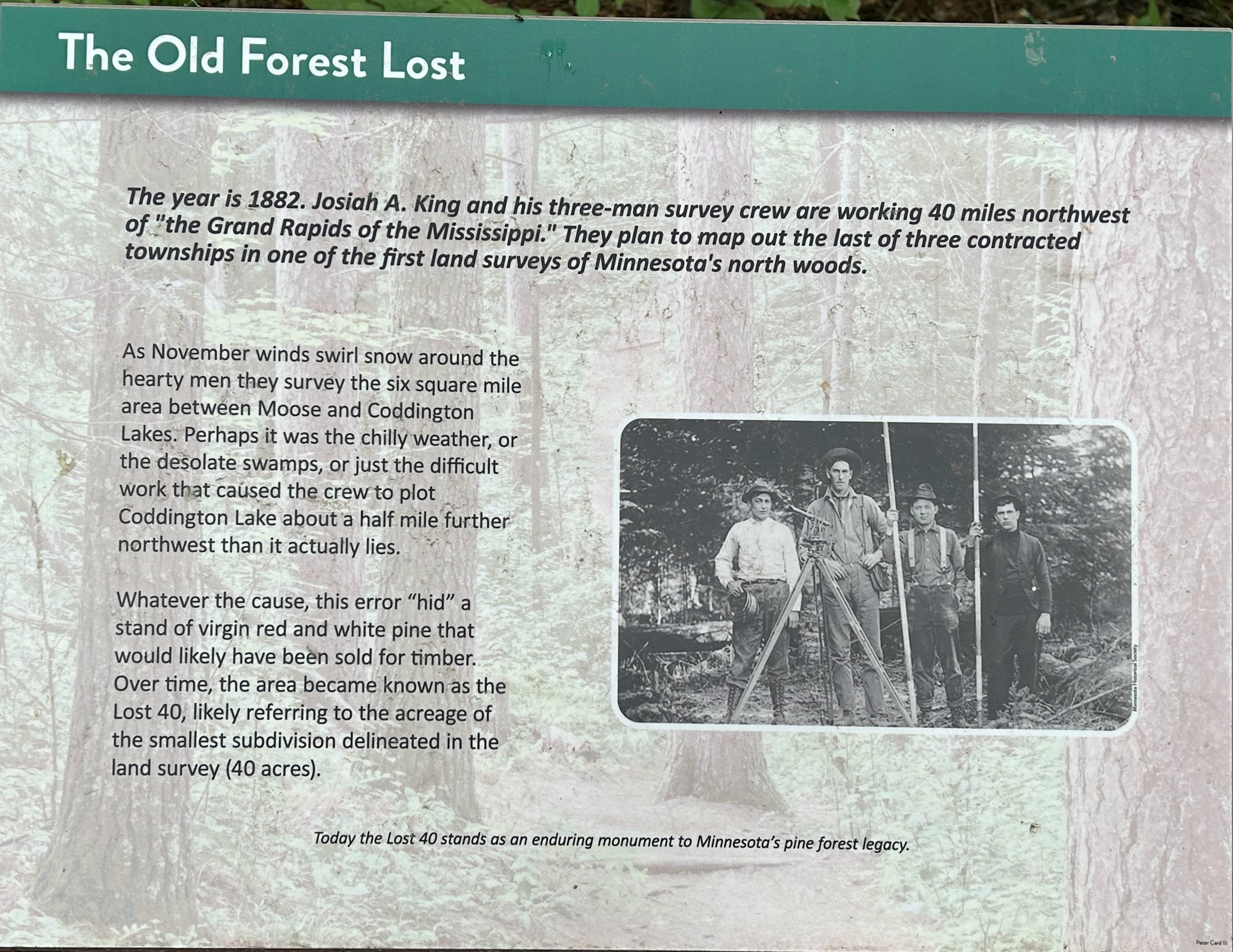
Because of a surveying error in 1882, 144 acres of forest in North-Central Minnesota were never leased to a timber company and therefore were spared from logging. Today the area is designated as the Lost 40 SNA (Scientific and Natural Area) and features a hiking trail of about one mile winding through huge red and white pines.
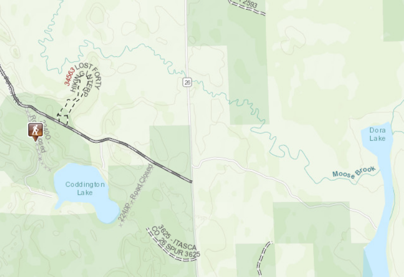
The highlights of a visit to the Lost 40 SNA are the towering red and white pine trees that are up to 240 years old.
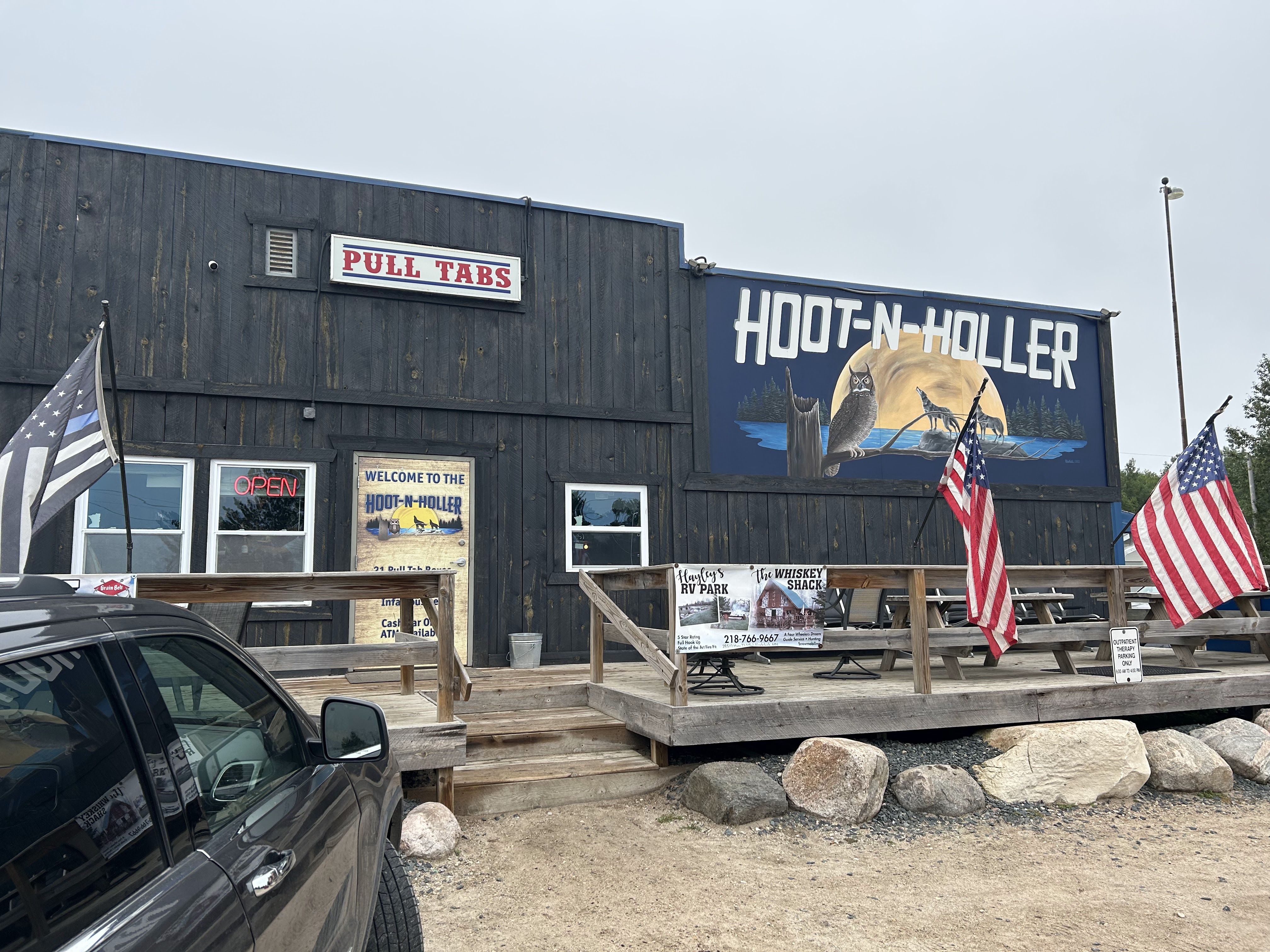
A visit to the Lost 40 isn’t complete without a stop at the Hoot-n-Holler in nearby Alvwood MN.
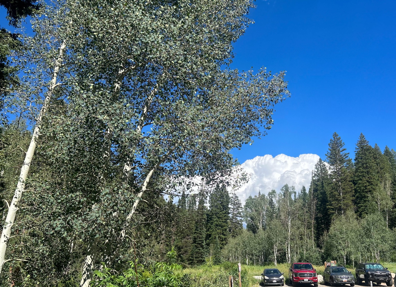
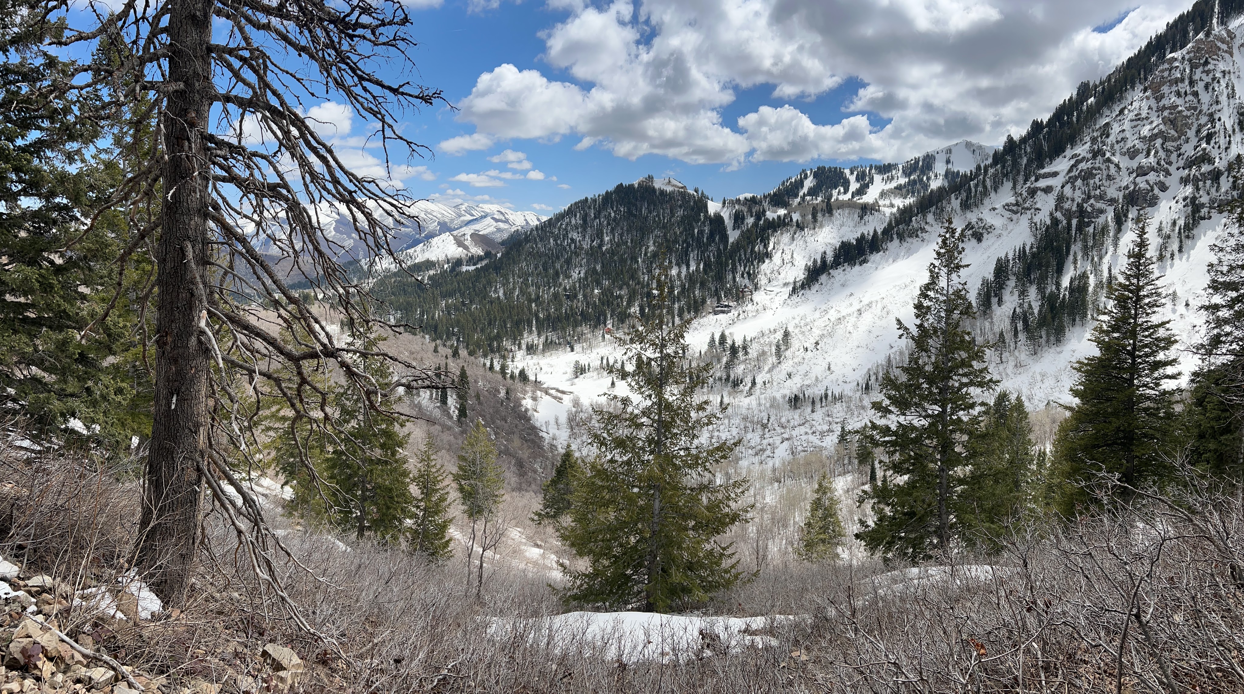
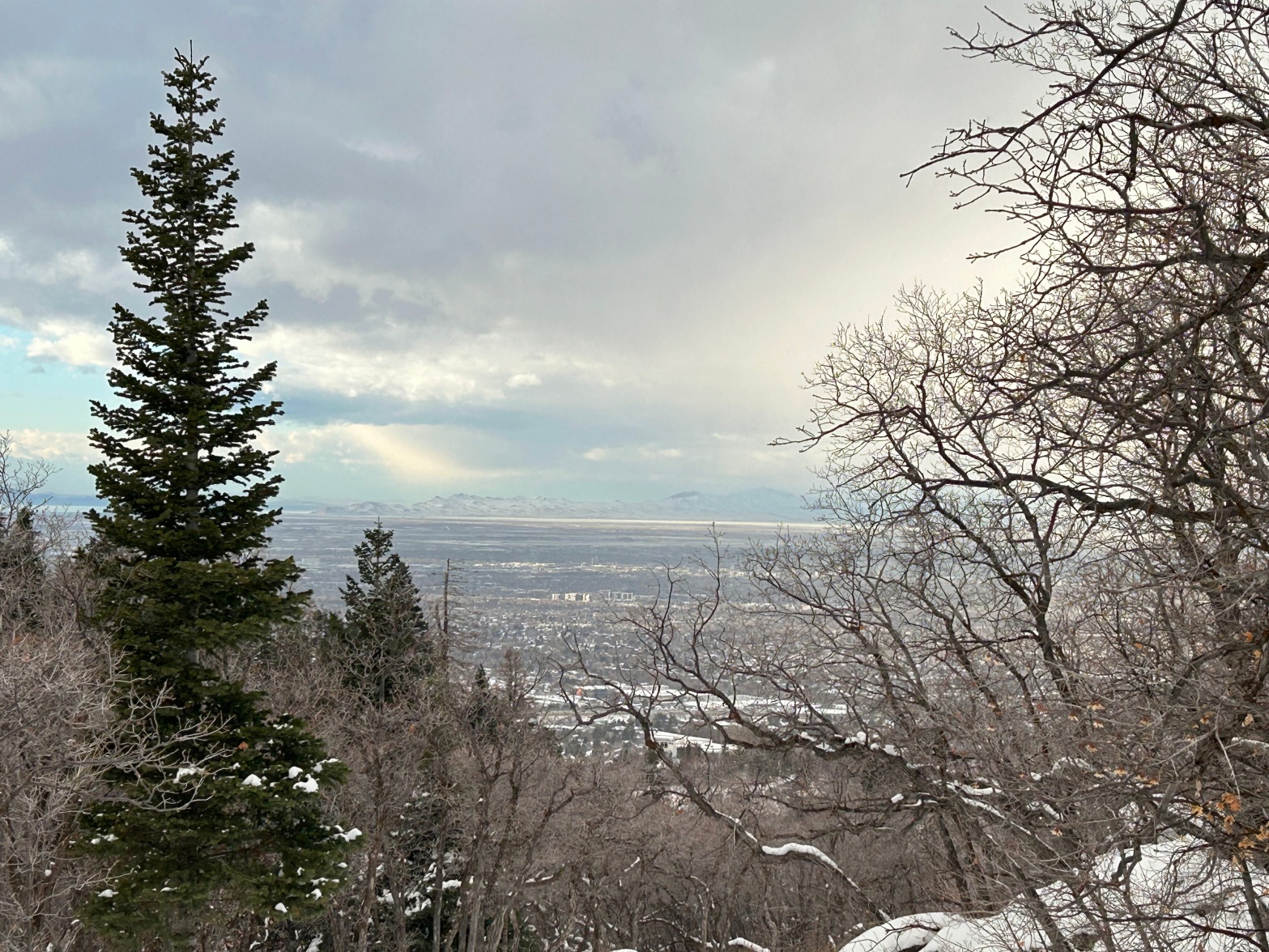
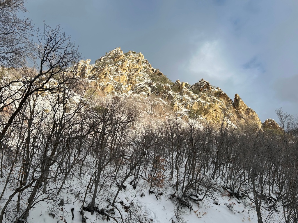
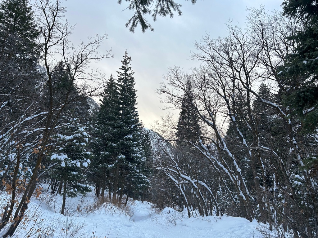
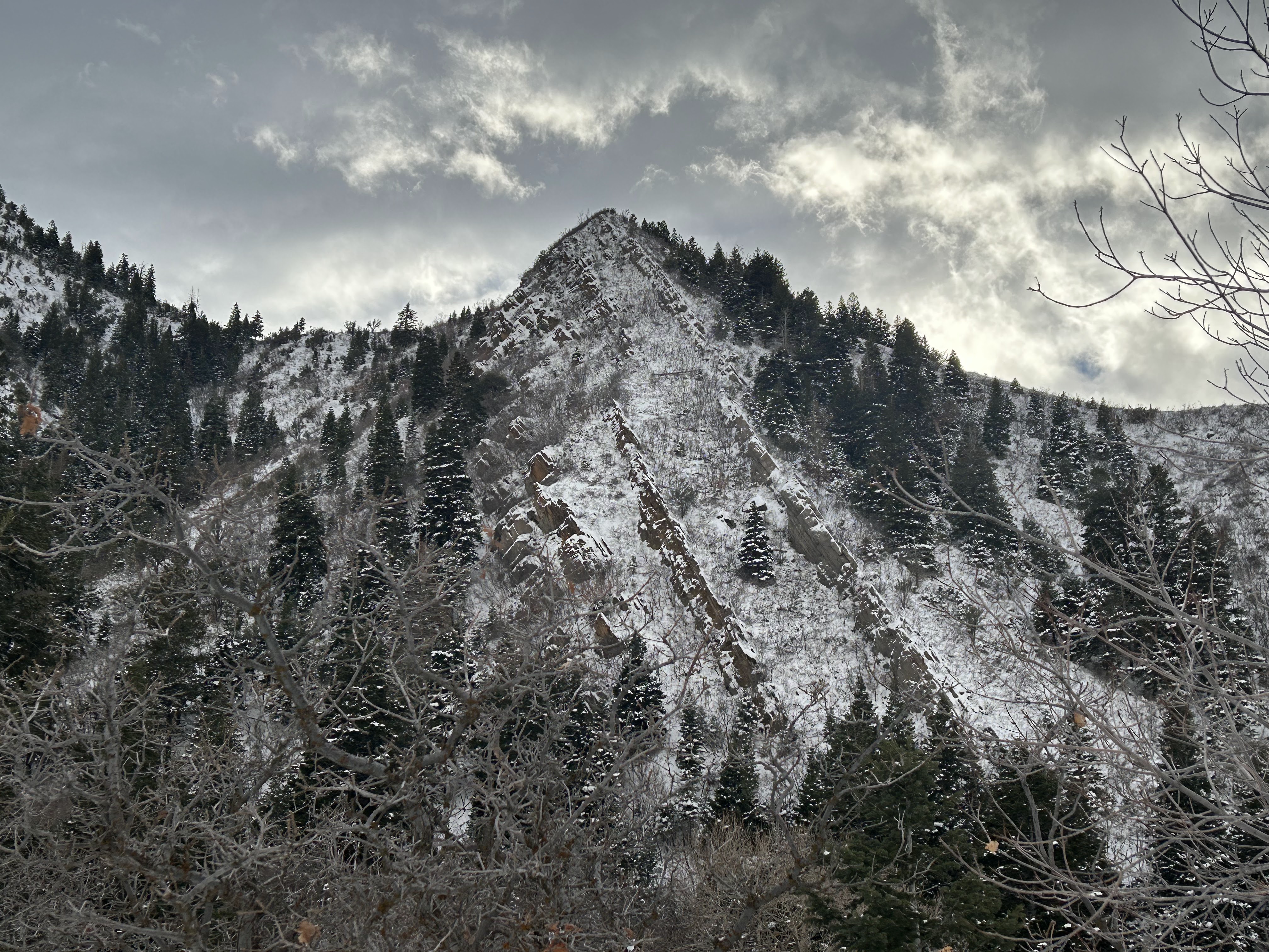
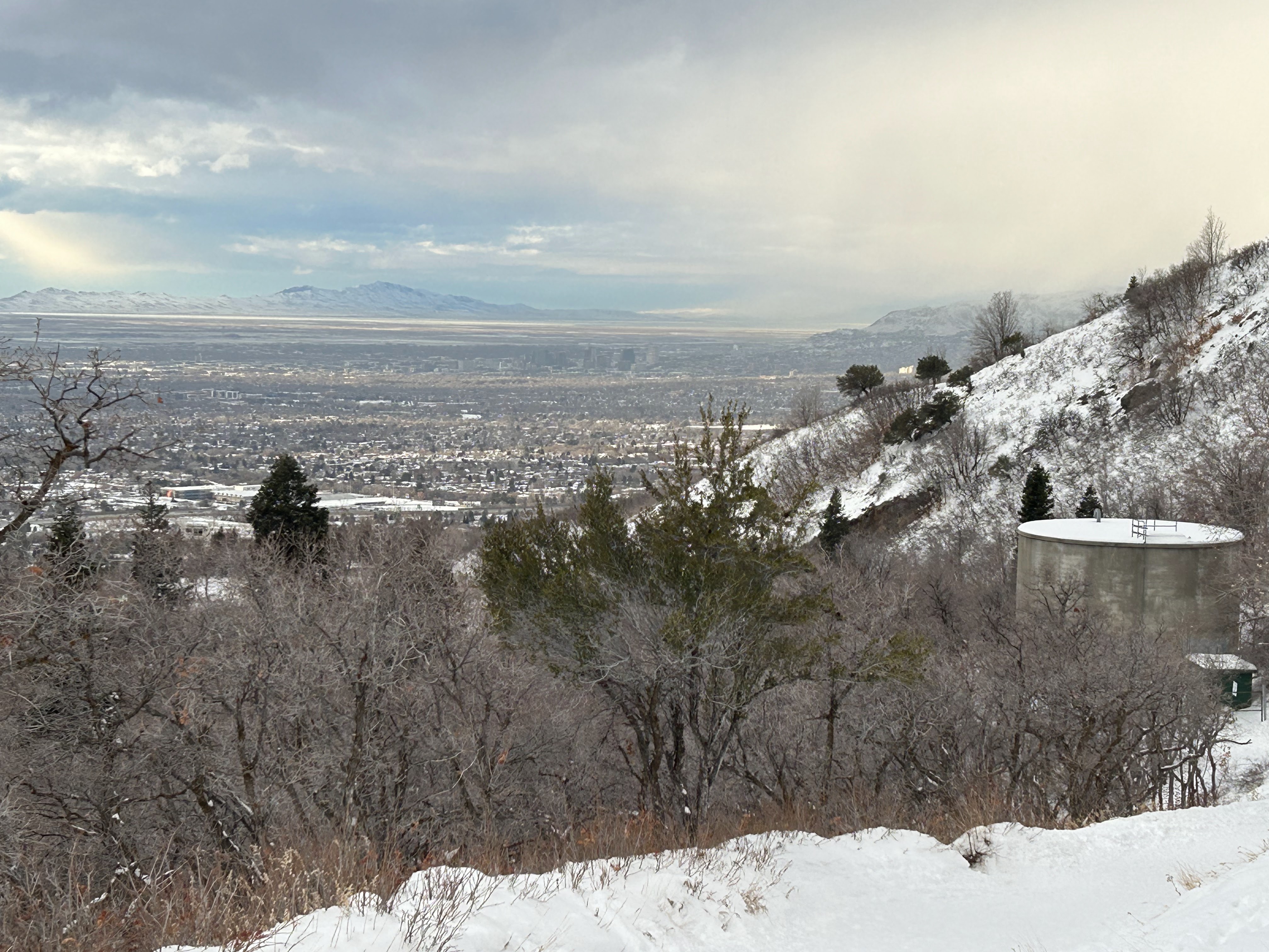
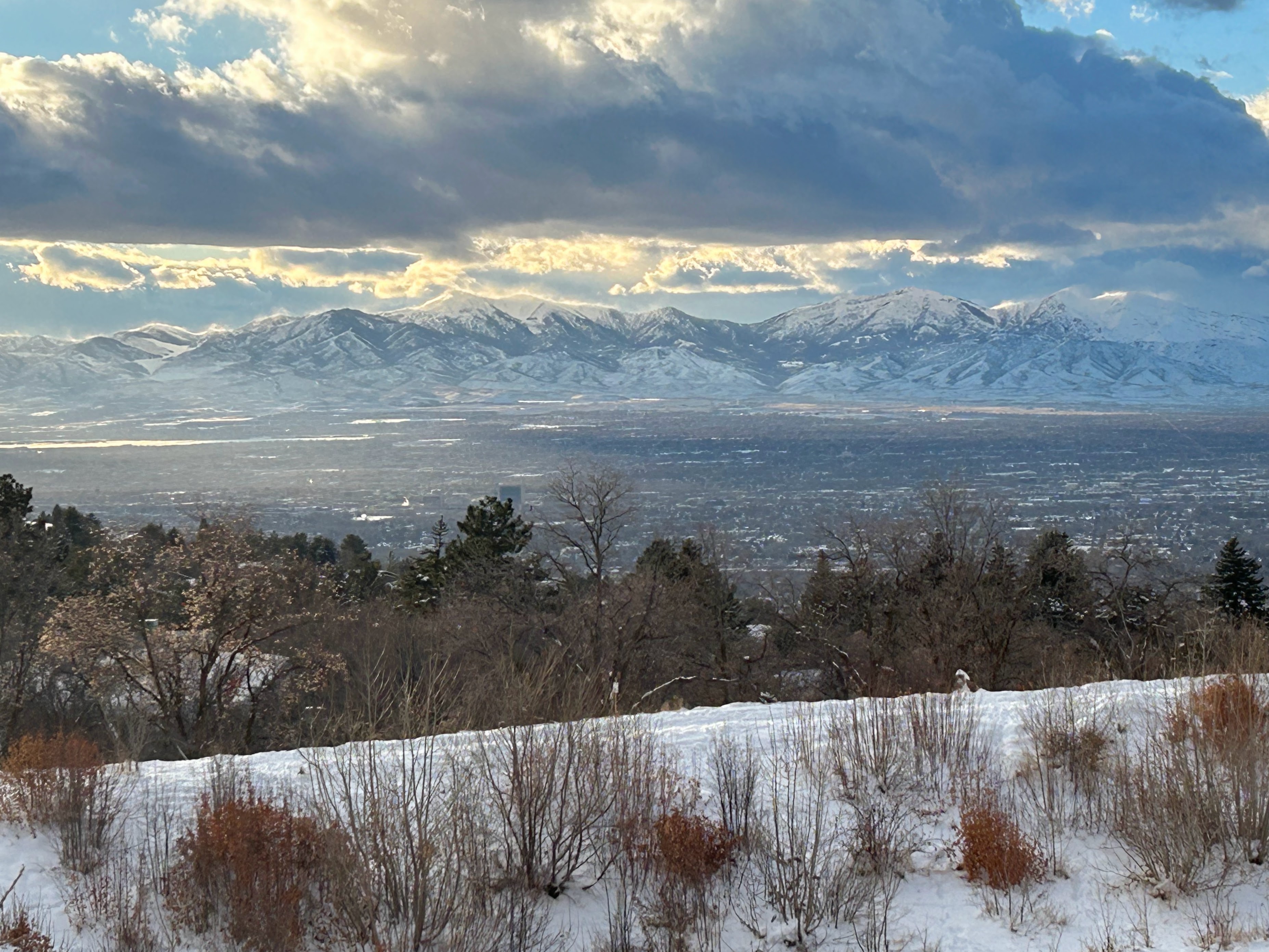
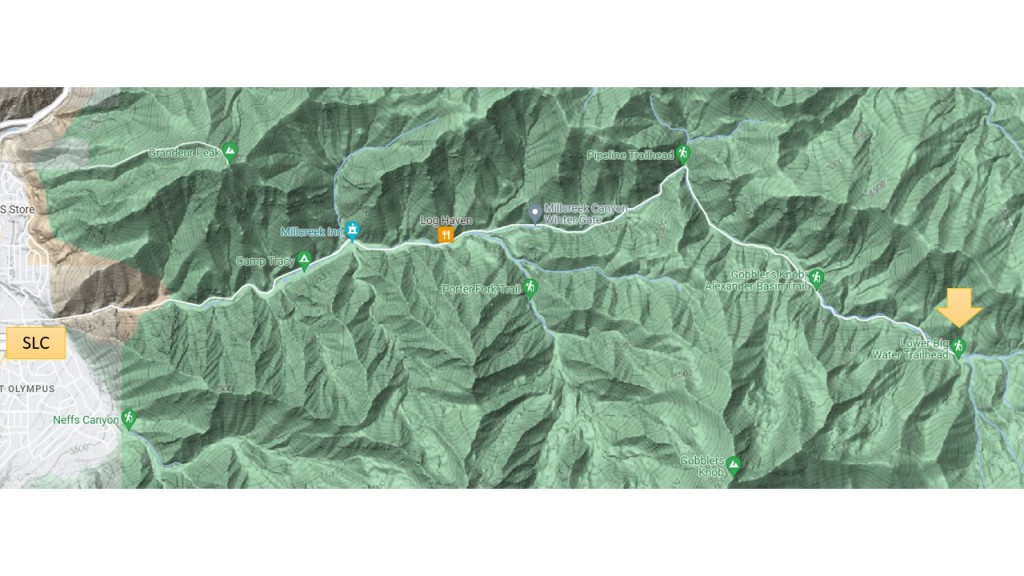
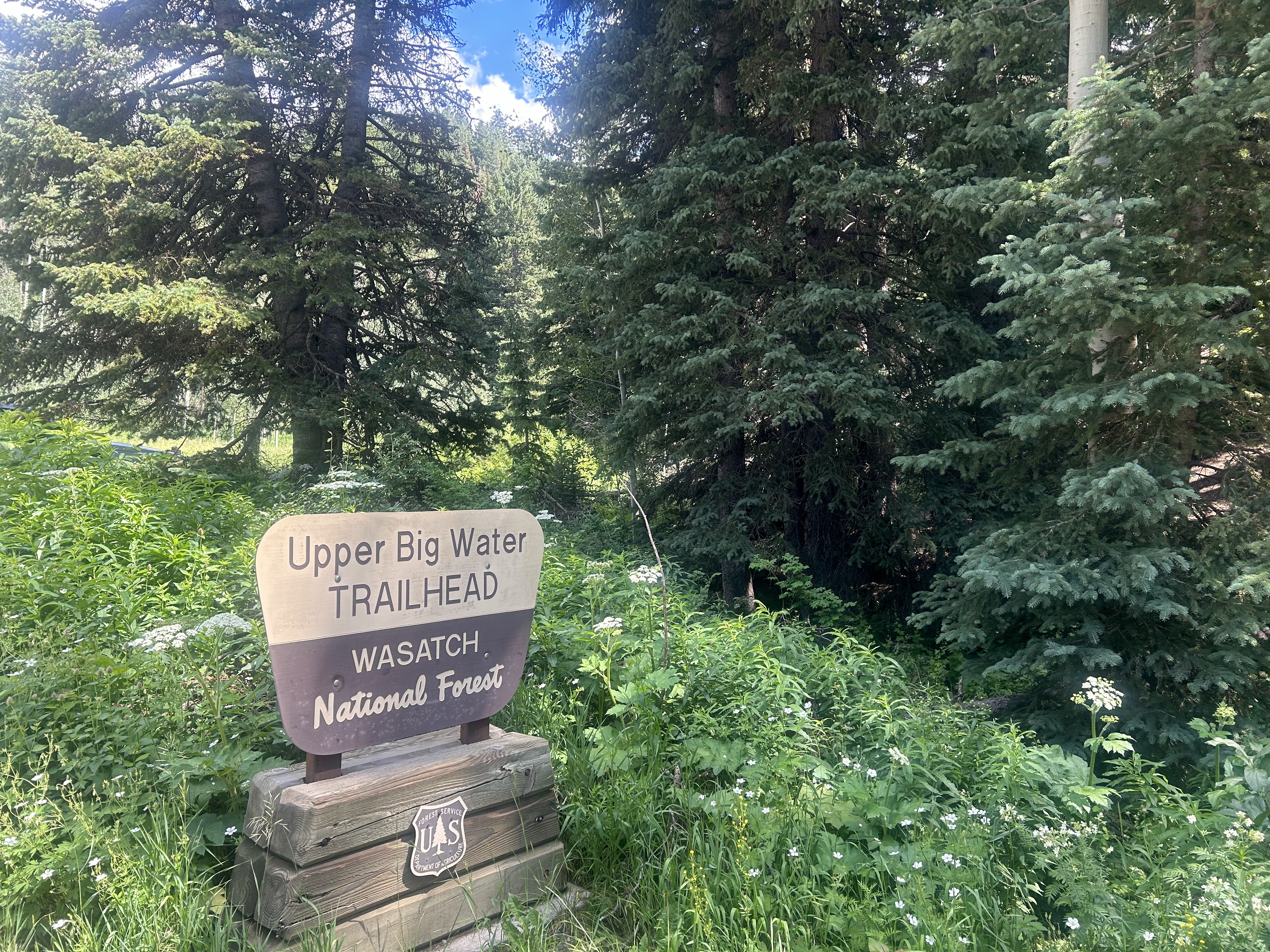
A benefit to life in Salt Lake City, Utah is the proximity of the city to the Wasatch Mountains. Recently for a hike in the mountains we drove up Mill Creek Canyon to the Upper Big Water Trailhead, just 9 miles east of the 215 Beltway in the city.
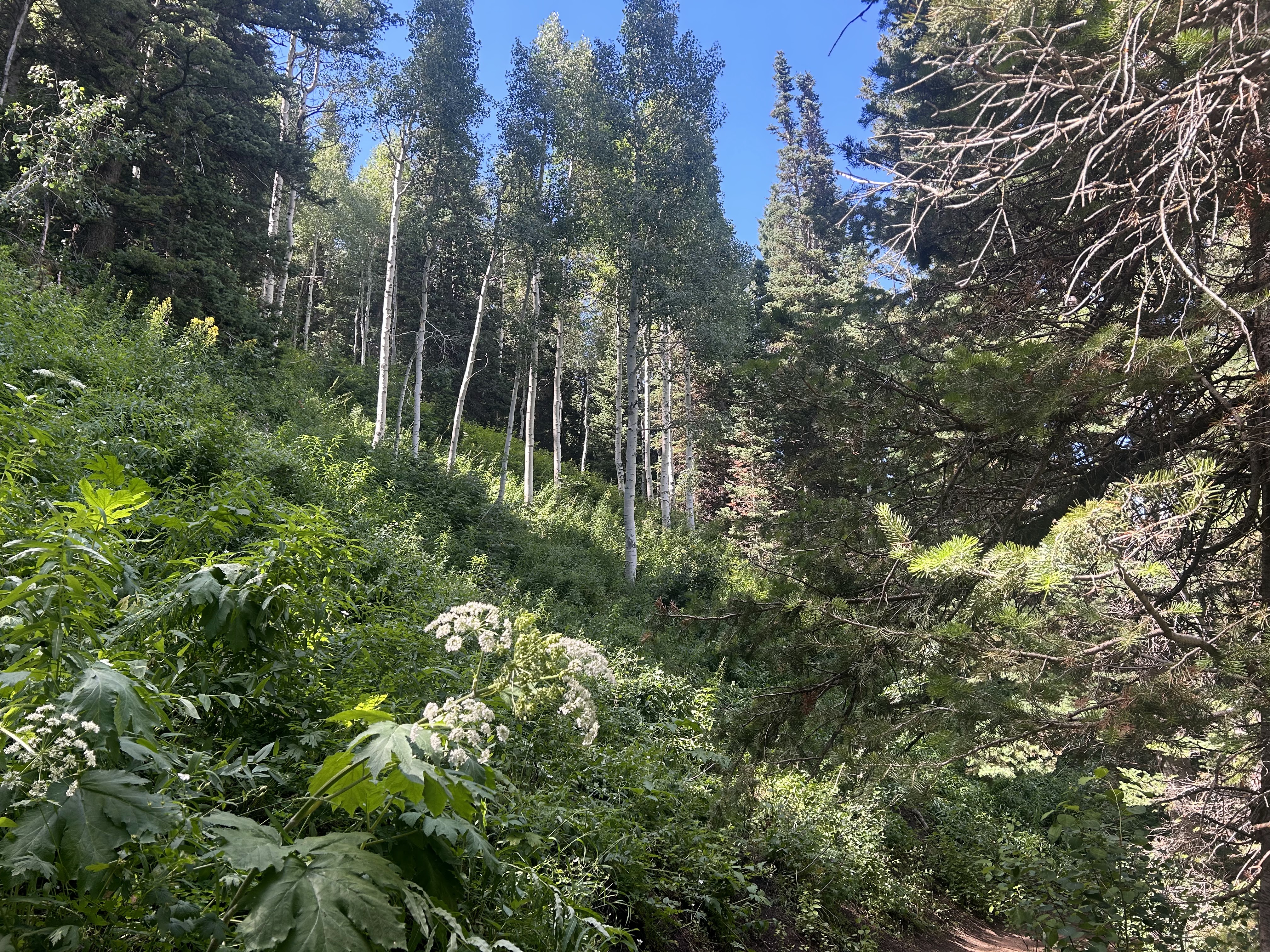
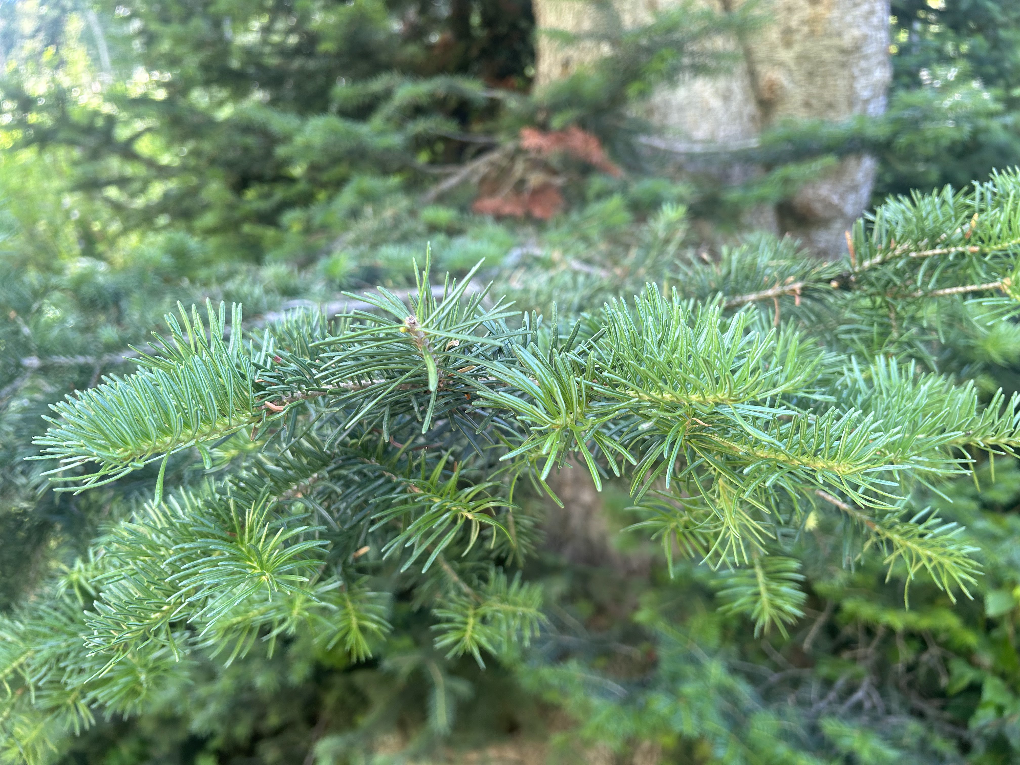
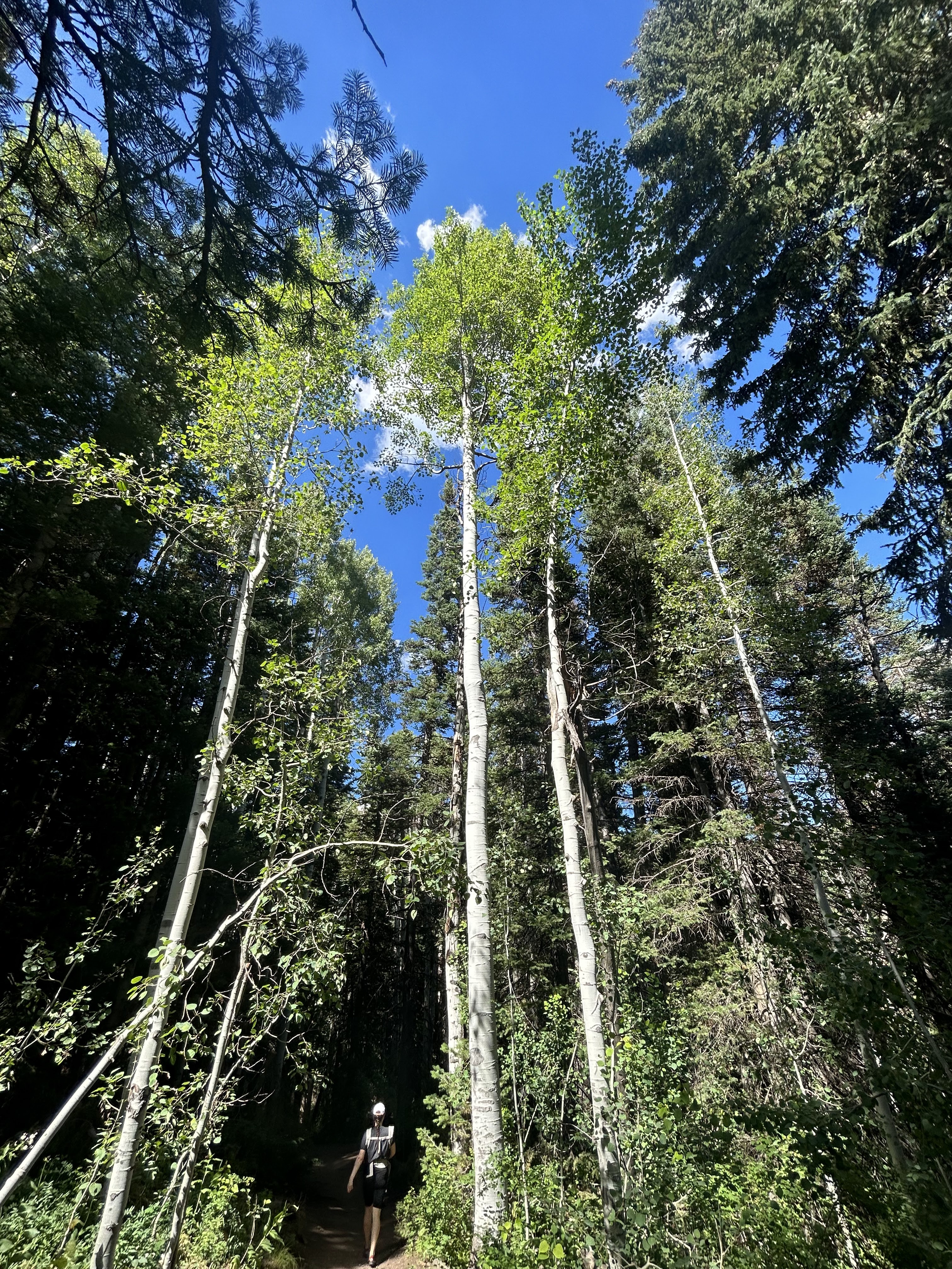
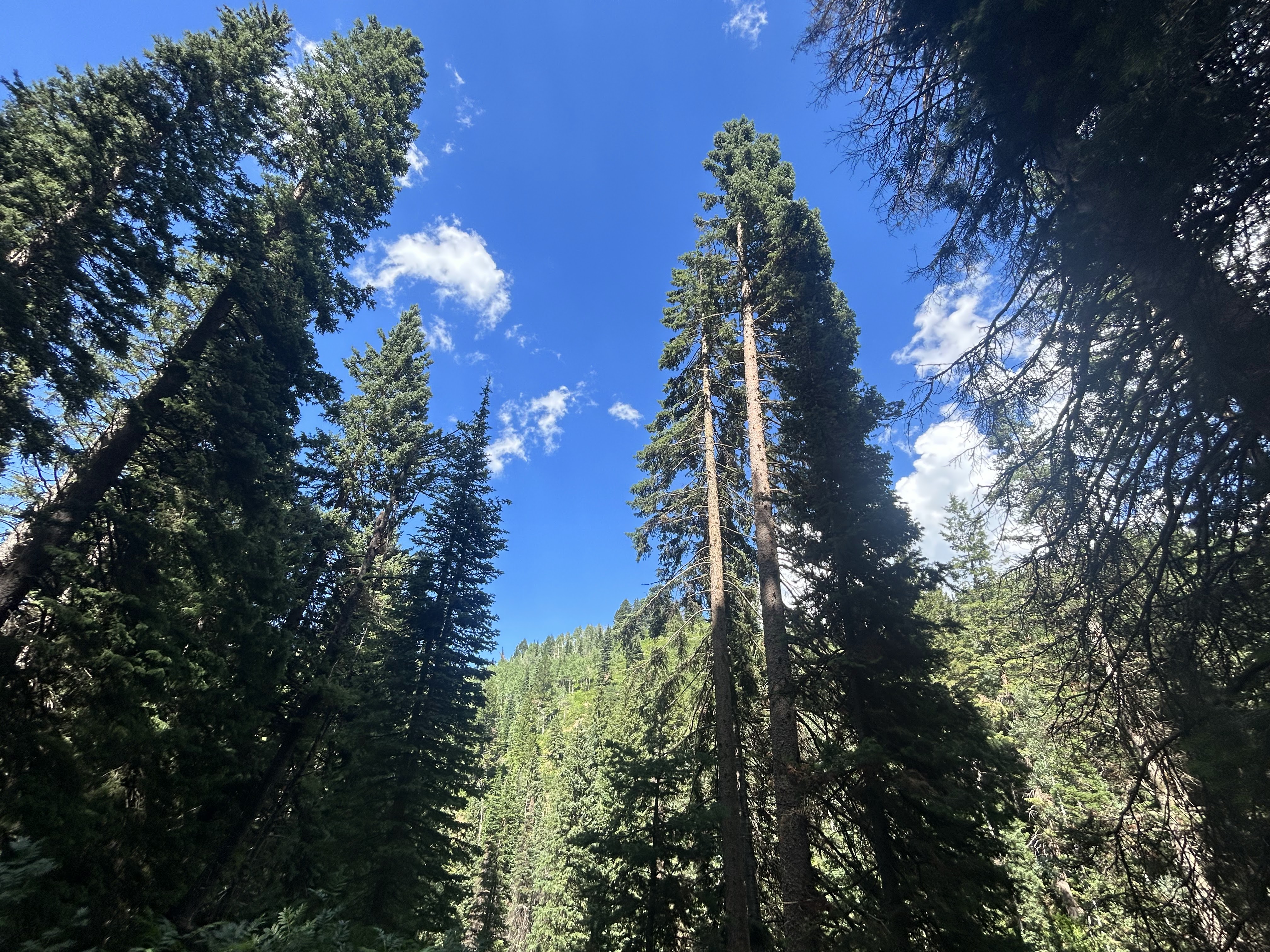
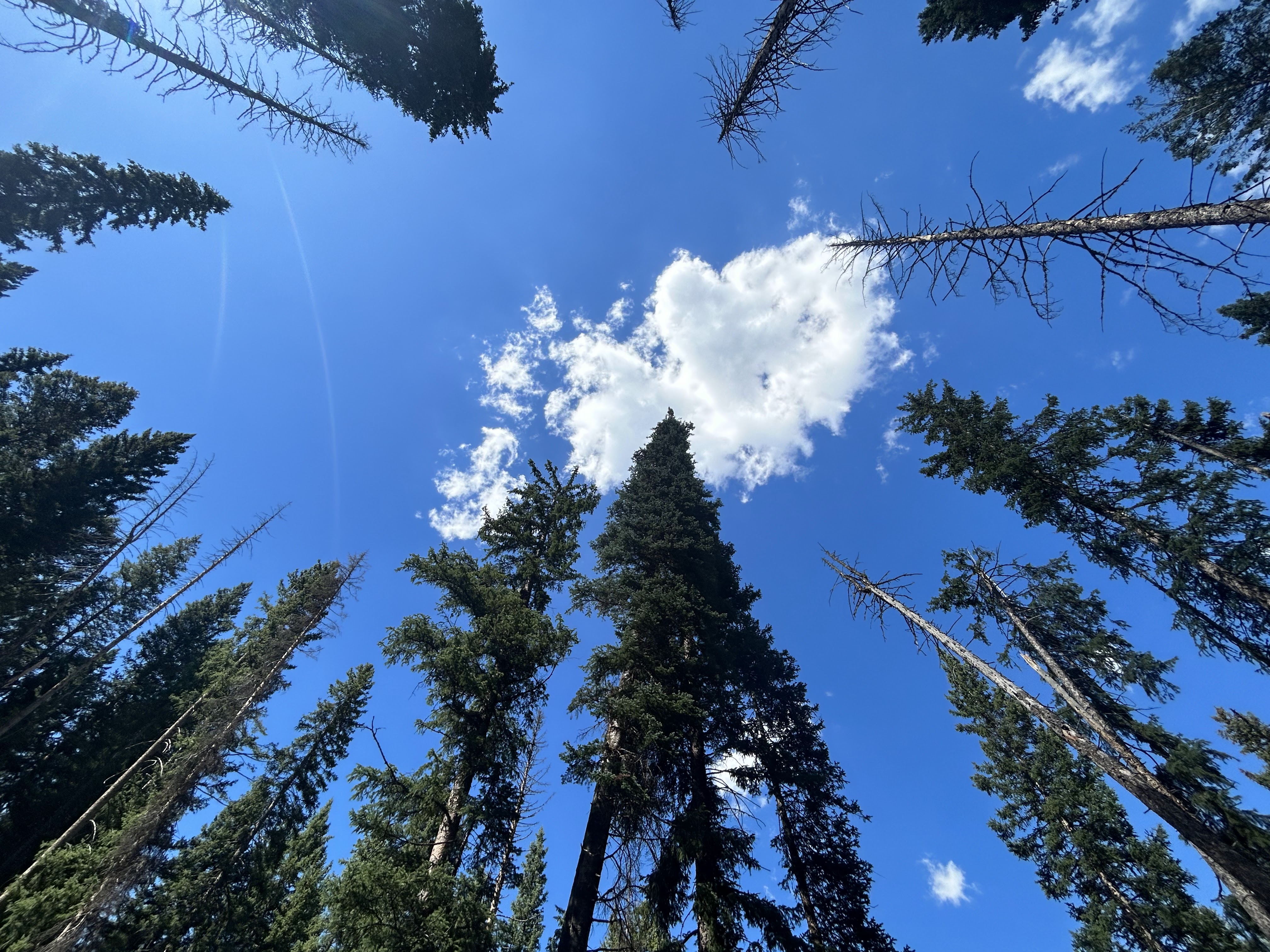
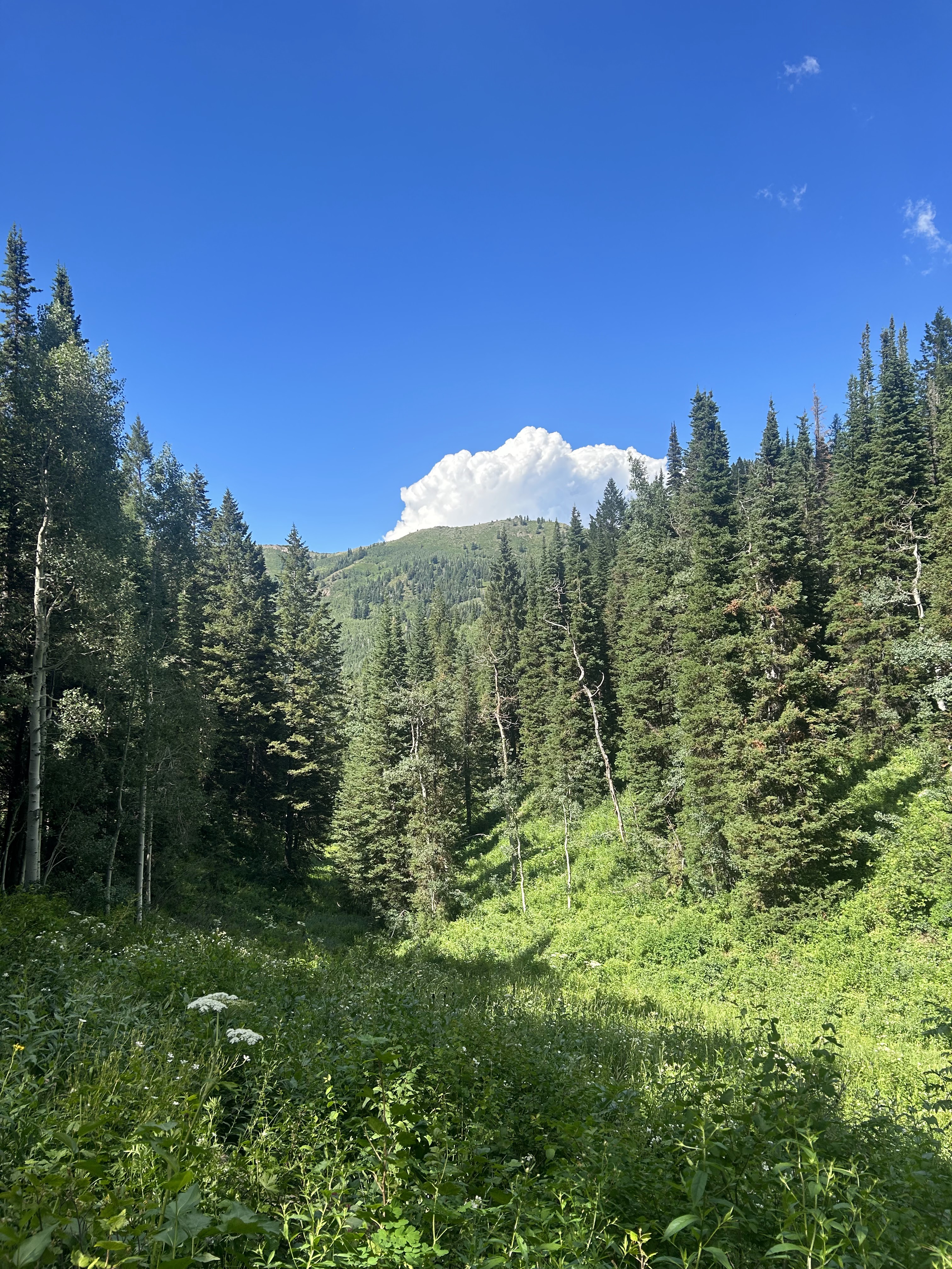
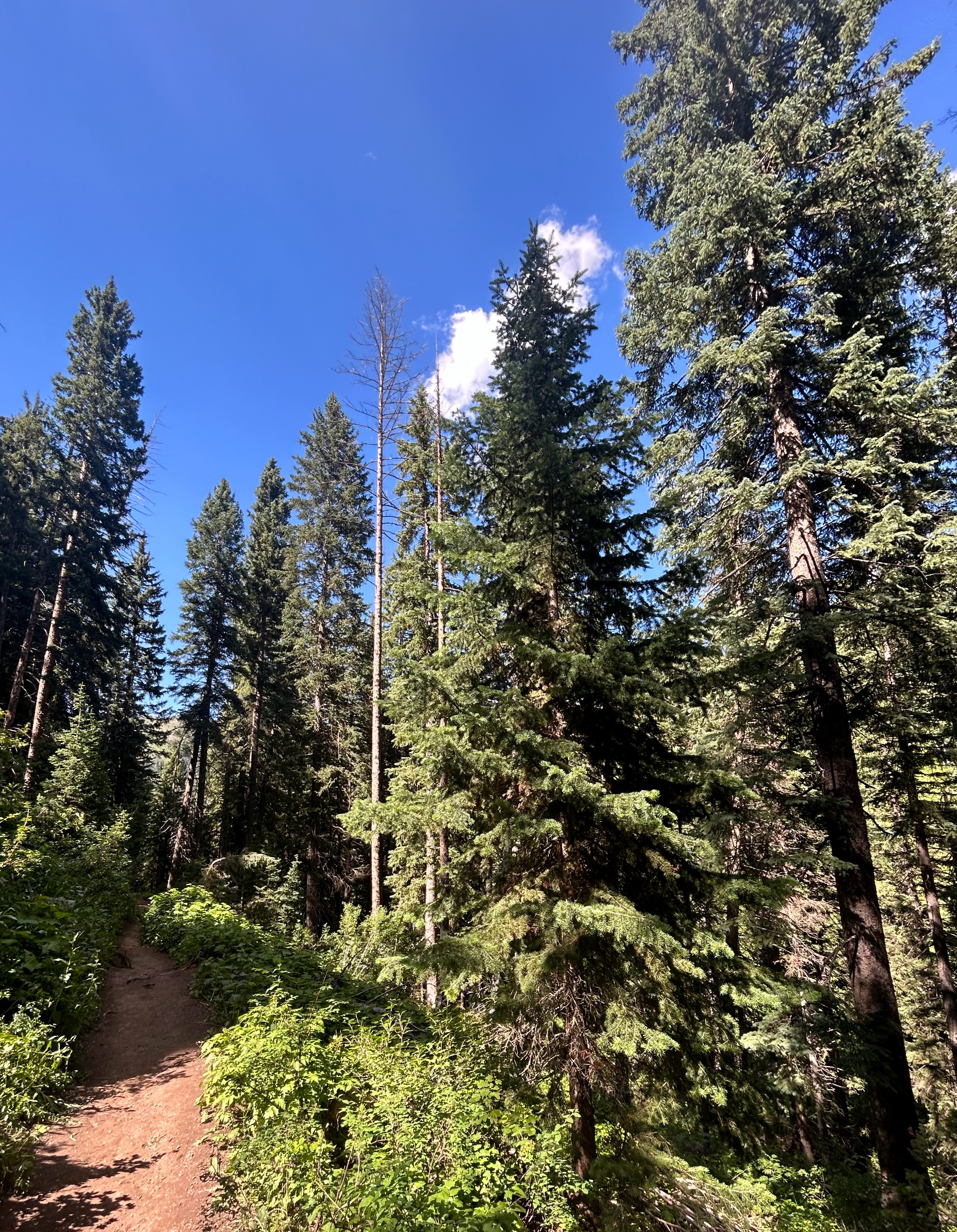
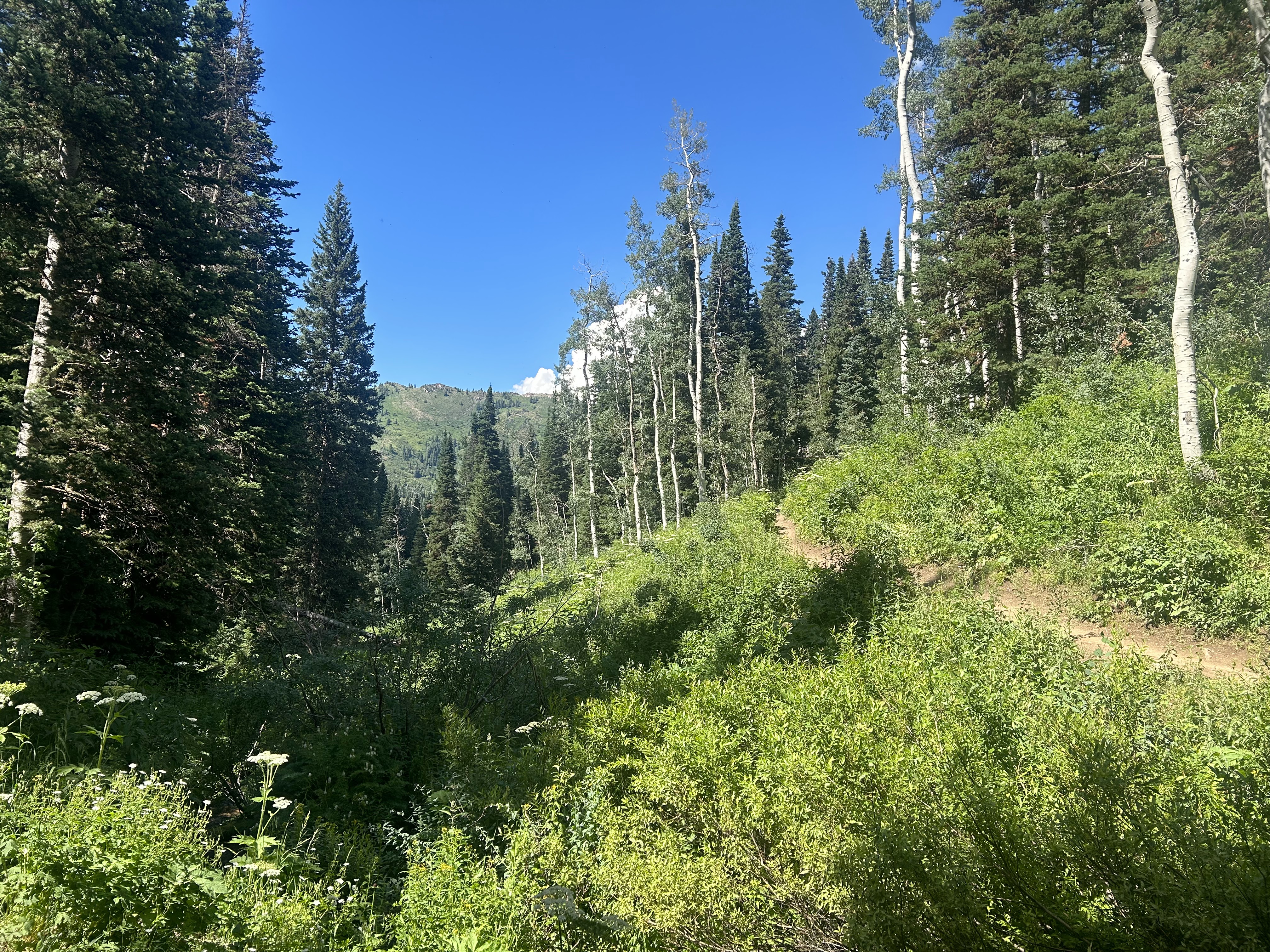
Trees in Mill Creek Canyon include Subalpine Fir, Engelmann Spruce, and Quaking Aspen.