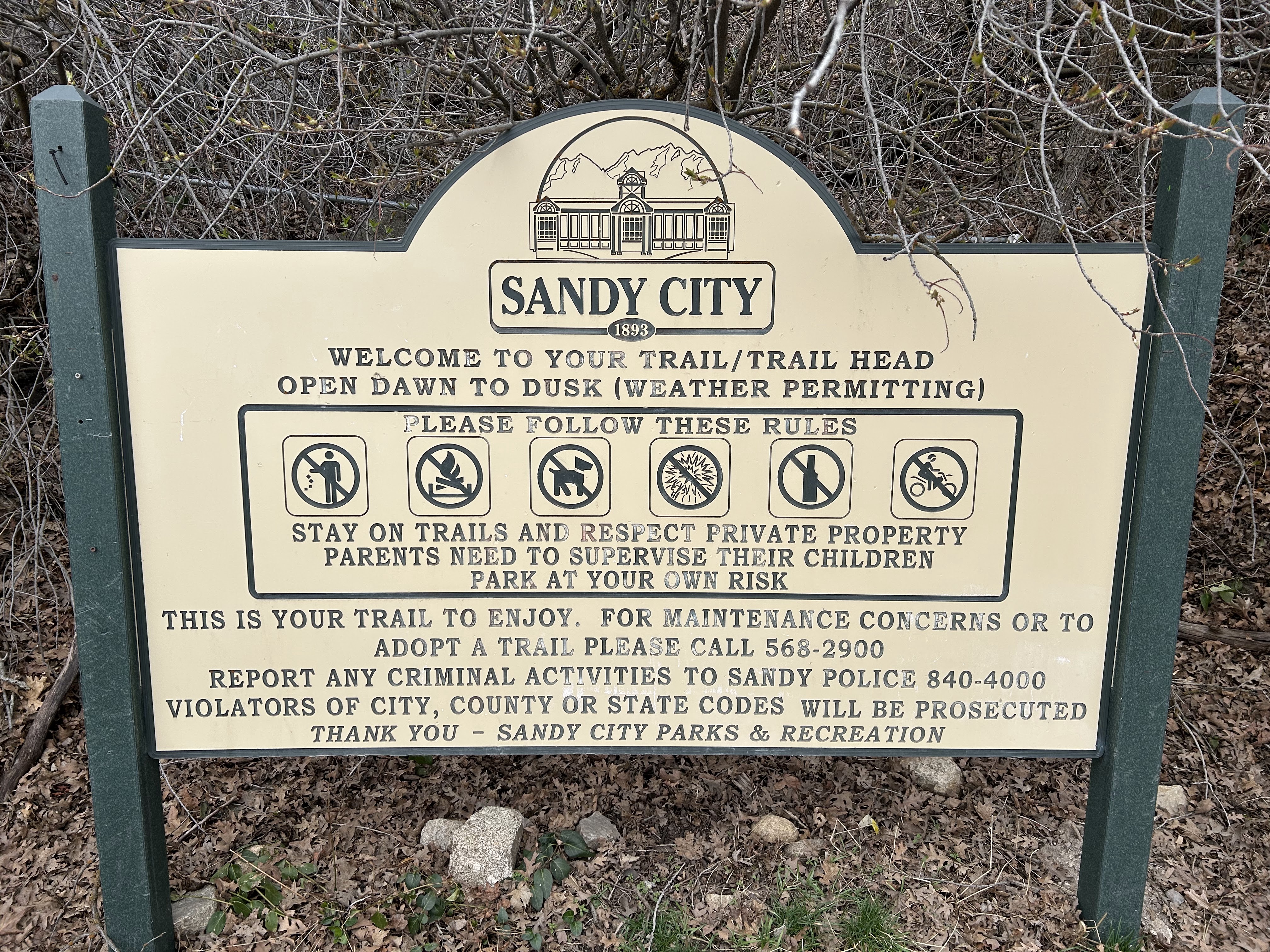
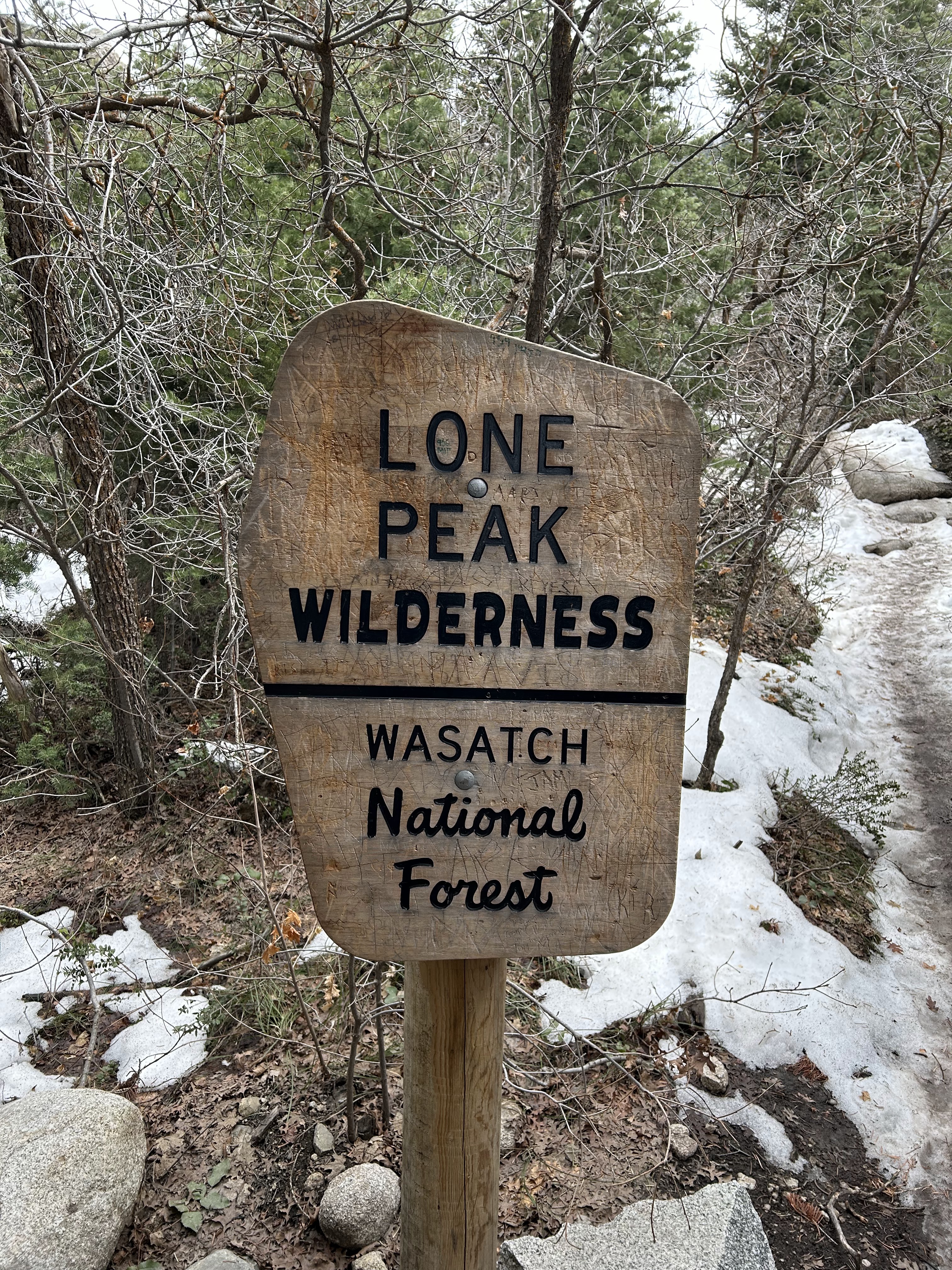
This post shares images taken on a hike through Bell Canyon which is SE of Salt Lake City Utah. Our destination, reached after 2.4 miles, was the lower waterfall in the canyon.

The map below shows the trail we took on March 27, 2025. There are also inserts showing the trail’s location relative to Salt Lake City and the elevation gain along the trail.

Sign at trail head

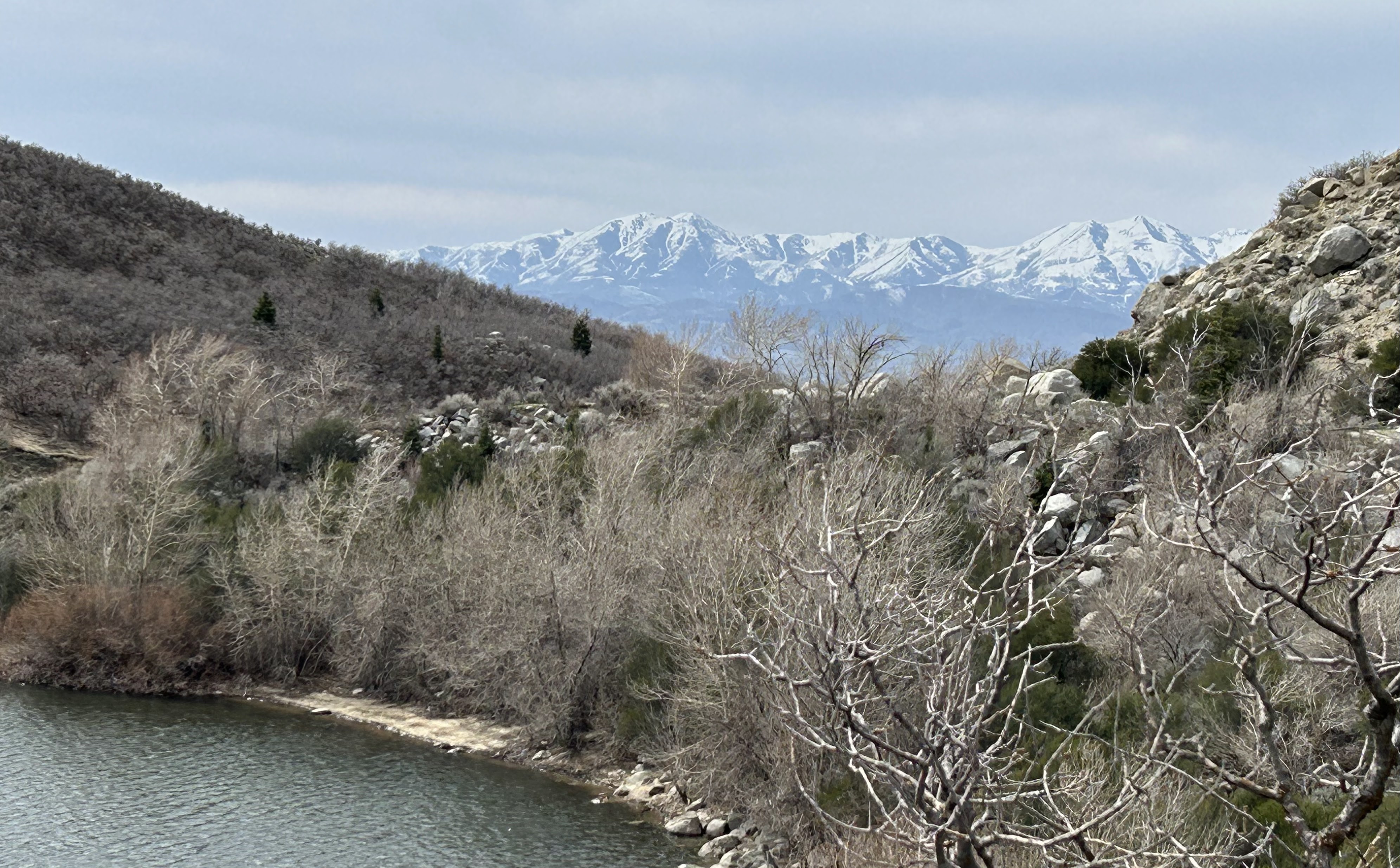
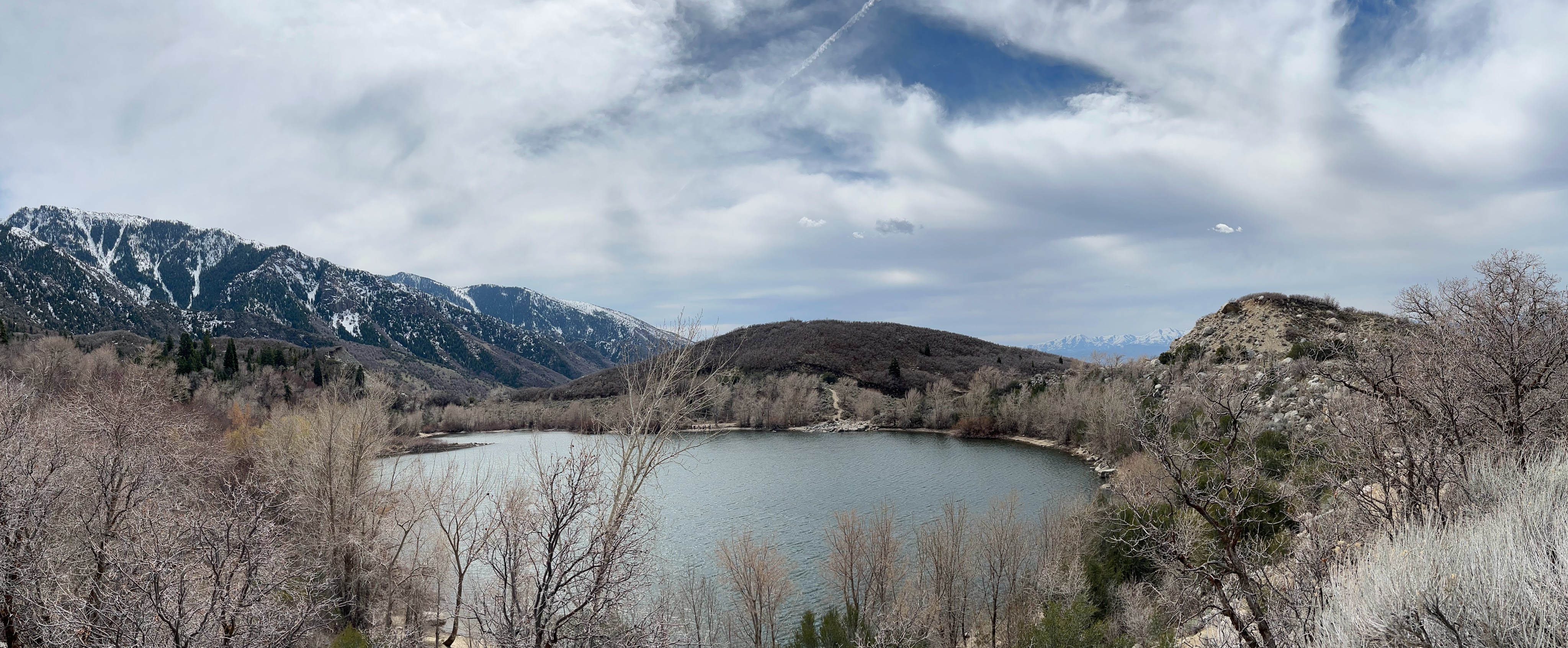
Lower Bell Canyon Reservoir (Designated as #1 on the map)
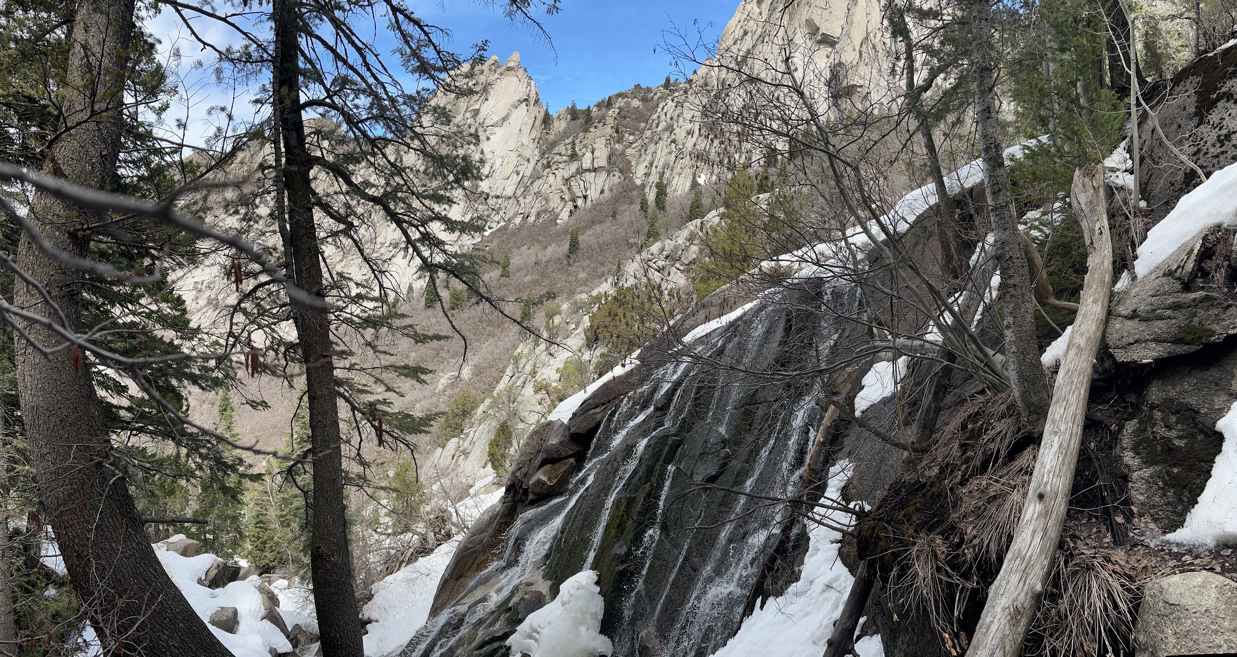
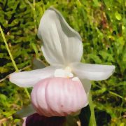
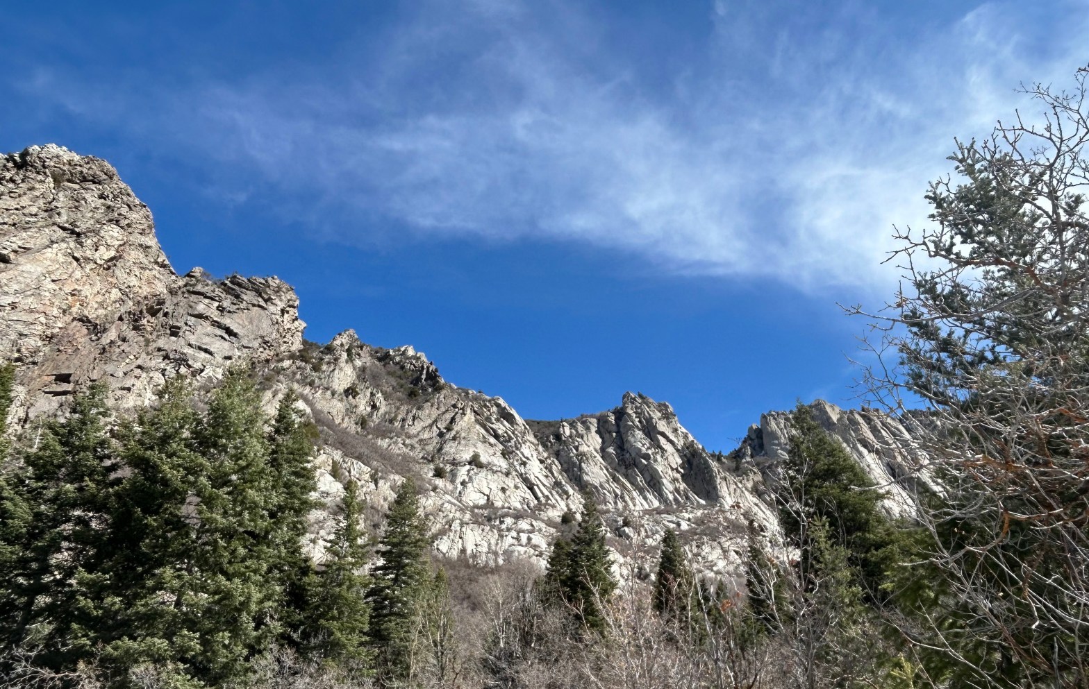
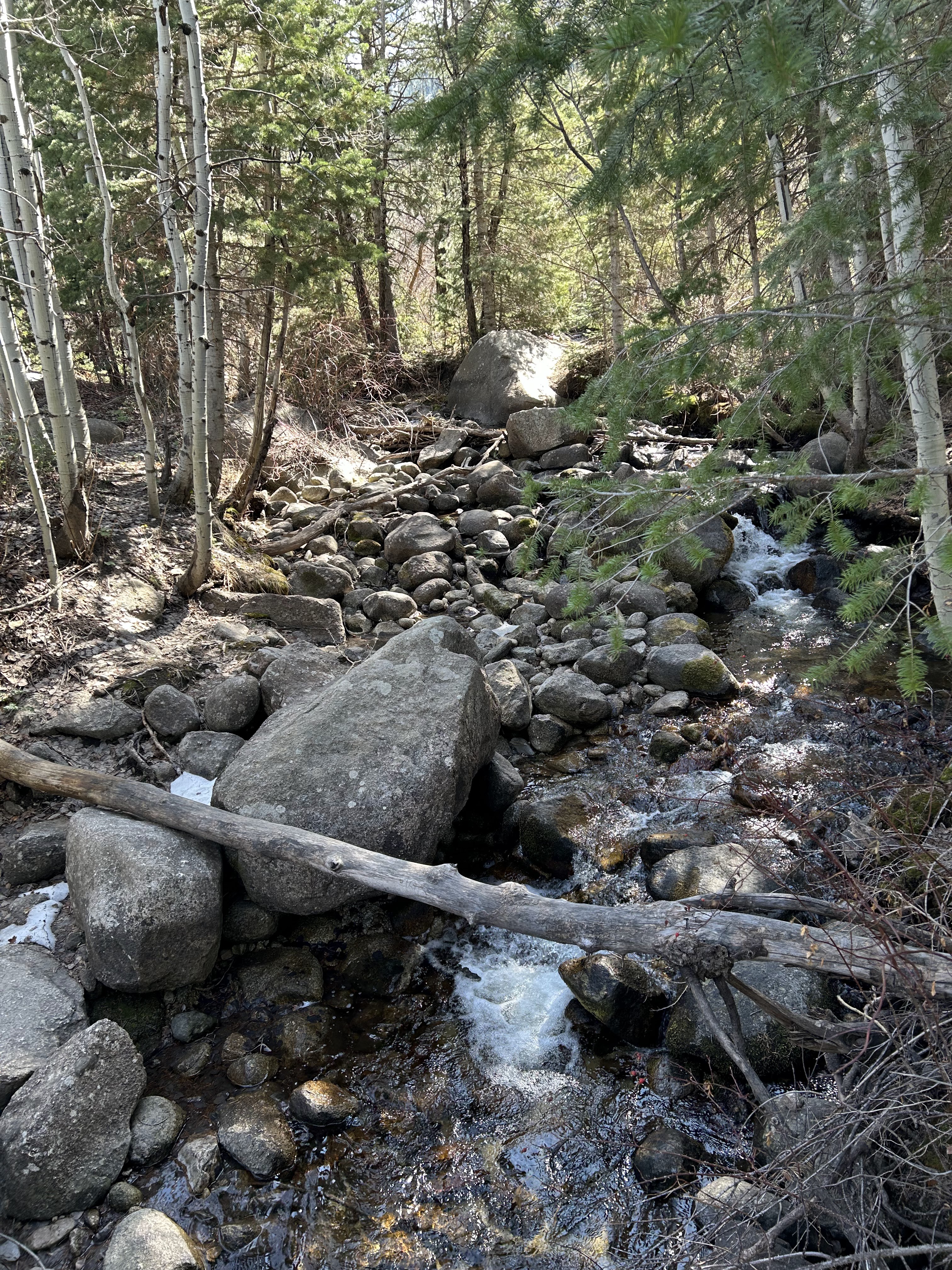
This photo shows the Lower Bell Canyon Reservoir and the Oquirrh Mountains in the distance to the west
Panoramic view of the Lower Bell Canyon Reservoir

Along the trail

The beginning section of the trail is rocky and includes several switchbacks.
The foothills of the Wasatch are strewn with boulders here.
Looking upstream from a footbridge that the trail crosses at #2 on the map.
The trail enters the Lone Peak Wilderness at #3 on the map. Beyond this point we were happy to have snow cleats because the trail was icy.

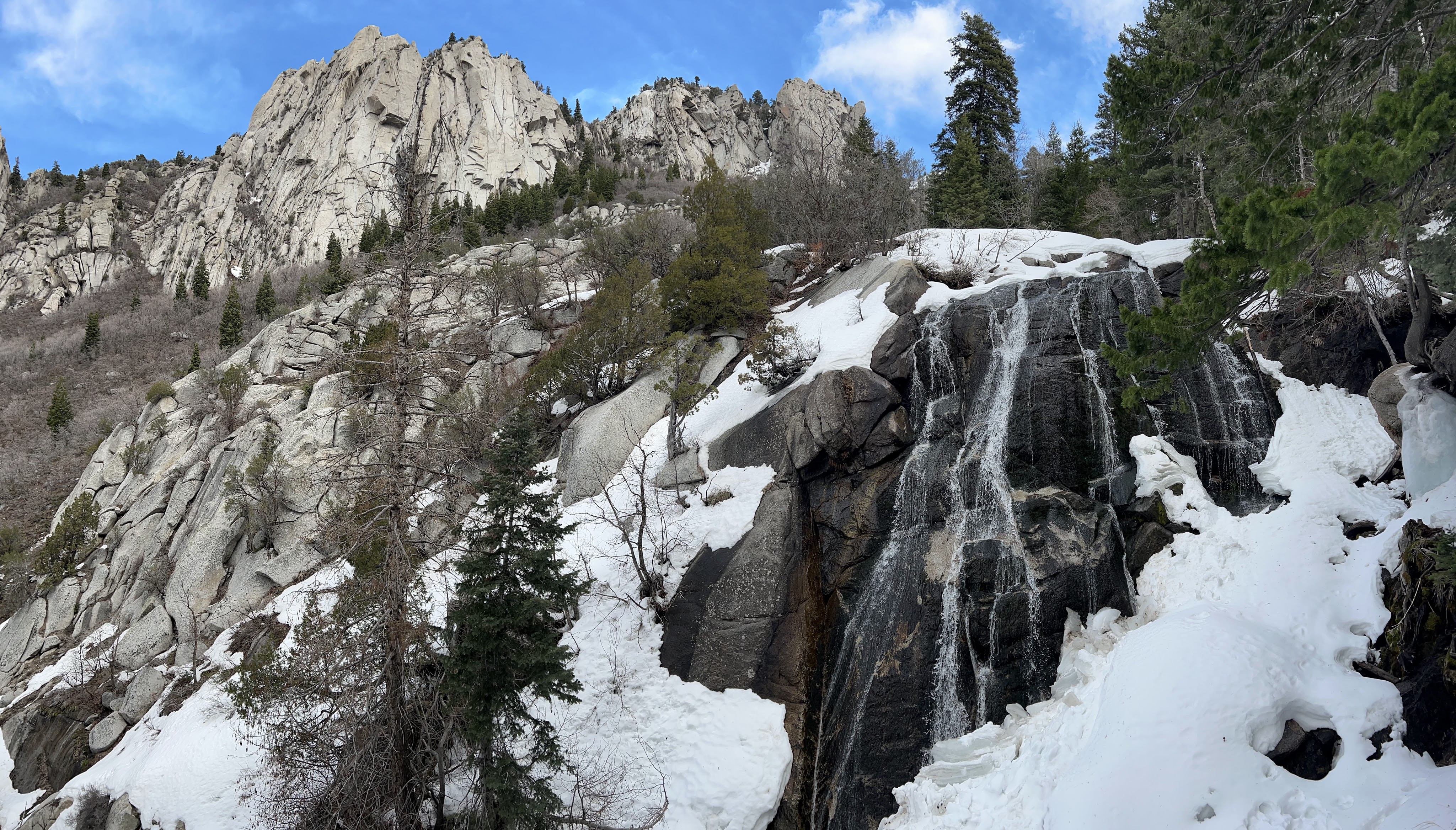
The Destination, Lower Falls (designated by #4 on the map)

Video of Falls

Published by jimr77

Recently retired, loving life in northern Minnesota

Leave a comment